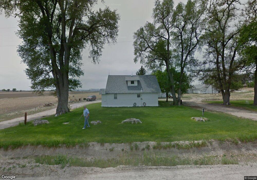
170577 County Road C Mitchell, NE 69357
Estimated Value: $164,687 - $250,000
3
Beds
1
Bath
1,260
Sq Ft
$158/Sq Ft
Est. Value
About This Home
This home is located at 170577 County Road C, Mitchell, NE 69357 and is currently estimated at $199,229, approximately $158 per square foot. 170577 County Road C is a home with nearby schools including Mitchell Elementary School and Mitchell Secondary School.
Ownership History
Date
Name
Owned For
Owner Type
Purchase Details
Closed on
Jun 14, 2024
Sold by
Samuel G Adams Family Trust and Adams Samuel G
Bought by
Kreiling Joshua and Kreiling Rachel
Current Estimated Value
Home Financials for this Owner
Home Financials are based on the most recent Mortgage that was taken out on this home.
Original Mortgage
$75,000
Outstanding Balance
$73,753
Interest Rate
7.22%
Mortgage Type
New Conventional
Estimated Equity
$125,476
Purchase Details
Closed on
Jan 7, 2020
Sold by
Adams Samuel G and Adams Rene C
Bought by
Samuel G Adams Family Trust and Adams
Create a Home Valuation Report for This Property
The Home Valuation Report is an in-depth analysis detailing your home's value as well as a comparison with similar homes in the area
Purchase History
| Date | Buyer | Sale Price | Title Company |
|---|---|---|---|
| Kreiling Joshua | $35,000 | None Listed On Document | |
| Samuel G Adams Family Trust | -- | None Listed On Document | |
| Samuel G Adams Family Trust | -- | None Listed On Document |
Source: Public Records
Mortgage History
| Date | Status | Borrower | Loan Amount |
|---|---|---|---|
| Open | Kreiling Joshua | $75,000 |
Source: Public Records
Tax History
| Year | Tax Paid | Tax Assessment Tax Assessment Total Assessment is a certain percentage of the fair market value that is determined by local assessors to be the total taxable value of land and additions on the property. | Land | Improvement |
|---|---|---|---|---|
| 2025 | $1,110 | $112,995 | $30,240 | $82,755 |
| 2024 | $558 | $112,995 | $30,240 | $82,755 |
| 2023 | $5,840 | $383,148 | $320,913 | $62,235 |
| 2022 | $5,840 | $383,148 | $320,913 | $62,235 |
| 2021 | $6,187 | $398,937 | $336,702 | $62,235 |
| 2020 | $6,305 | $398,937 | $336,702 | $62,235 |
| 2019 | $7,156 | $454,352 | $401,726 | $52,626 |
| 2018 | $7,298 | $454,352 | $401,726 | $52,626 |
| 2017 | $7,545 | $464,589 | $411,963 | $52,626 |
| 2016 | $7,602 | $463,475 | $411,963 | $51,512 |
| 2015 | $7,185 | $454,837 | $404,825 | $50,012 |
| 2014 | $6,725 | $419,851 | $369,839 | $50,012 |
| 2012 | -- | $339,529 | $289,517 | $50,012 |
Source: Public Records
Map
Nearby Homes
- 50090 Partridge Dr
- 50160 Hilyard Dr
- 0 County Road A
- TBD Highway 29
- 1806 13th Ave
- 1739 Center Ave
- 150265 Cr F
- 1421 Broadway St
- 40341 Highway 71
- 1538 17th St
- 1803 21st St
- CR K Cr 31
- 1803 Broadway St
- 1712 22nd Ave
- 60260 Highway 71
- 50144 Panorama Dr
- 120793 Cr E
- 910 Mockingbird Dr
- 4501 Cottonwood Ave
- 90208 County Road 19
- 170481 County Road C
- 170020 County Road C
- 30284 County Road 17
- 160913 County Road C
- 30497 Sunflower Oil
- 30497 County Road 17
- 30497 Cr 17
- 20732 County Road 17
- 20434 County Road 18
- 180340 County Road C
- 30601 County Road 17
- 20310 County Road 17
- 180383 County Road C
- 30923 Sunflower Oil
- 180497 County Road C
Your Personal Tour Guide
Ask me questions while you tour the home.