1706 Deborah Ave High Point, NC 27263
Estimated Value: $128,000 - $157,046
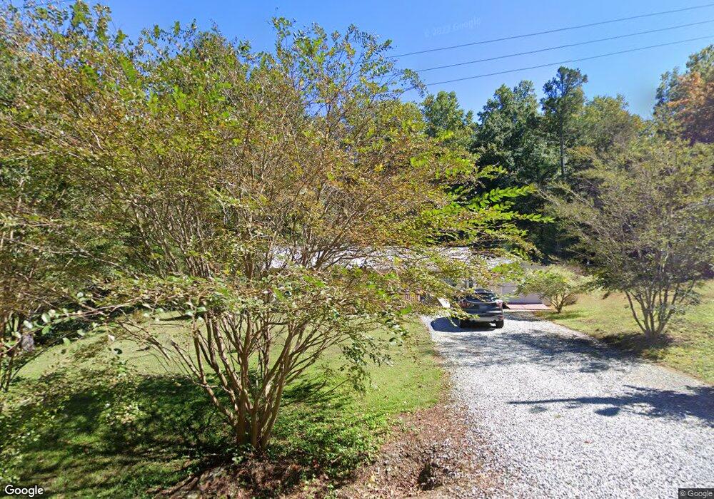
About This Home
This home is located at 1706 Deborah Ave, High Point, NC 27263 and is currently estimated at $140,262, approximately $144 per square foot. 1706 Deborah Ave is a home located in Guilford County with nearby schools including Allen Jay Elementary School, Southern Guilford Middle, and Southern Guilford High School.
Ownership History
We collect this data history from publicly available records. To have your information removed, we recommend requesting removal directly through your county’s website.
Purchase Details
Home Financials for this Owner
Home Financials are based on the most recent Mortgage that was taken out on this home.Purchase Details
Home Financials for this Owner
Home Financials are based on the most recent Mortgage that was taken out on this home.Home Values in the Area
Average Home Value in this Area
Purchase History
We collect this data history from publicly available records. To have your information removed, we recommend requesting removal directly through your county’s website.
| Date | Buyer | Sale Price | Title Company |
|---|---|---|---|
| $76,000 | None Available | ||
| $68,000 | -- |
Mortgage History
We collect this data history from publicly available records. To have your information removed, we recommend requesting removal directly through your county’s website.
| Date | Status | Borrower | Loan Amount |
|---|---|---|---|
| Open | $75,900 | ||
| Previous Owner | $68,000 |
Tax History
We collect this data history from publicly available records. To have your information removed, we recommend requesting removal directly through your county’s website.
| Year | Tax Paid | Tax Assessment Tax Assessment Total Assessment is a certain percentage of the fair market value that is determined by local assessors to be the total taxable value of land and additions on the property. | Land | Improvement |
|---|---|---|---|---|
| 2025 | $722 | $82,300 | $28,000 | $54,300 |
| 2024 | $722 | $82,300 | $28,000 | $54,300 |
| 2023 | $722 | $82,300 | $28,000 | $54,300 |
| 2022 | $722 | $82,300 | $28,000 | $54,300 |
| 2021 | $577 | $65,800 | $20,000 | $45,800 |
| 2020 | $577 | $65,800 | $20,000 | $45,800 |
| 2019 | $577 | $65,800 | $0 | $0 |
| 2018 | $574 | $65,800 | $0 | $0 |
| 2017 | $557 | $65,800 | $0 | $0 |
| 2016 | $523 | $59,800 | $0 | $0 |
| 2015 | $526 | $59,800 | $0 | $0 |
| 2014 | $532 | $59,800 | $0 | $0 |
Map
- 1105 E Springfield Rd
- 1023 Hickory Chapel Rd
- 1021 Hickory Chapel Rd
- 3003 #REAR Oakcrest Ave
- 1011 Gaines Ave
- 931 Marlboro St
- 2706 Miriam Ct
- 3304 Central Ave
- 1010/1012 Gaines Ave
- 2715 Central Ave
- 3604 Akers Ct
- 224 Friendly Ave
- 825 Hopewell St
- 1604 Brentwood St
- 2114 Friends Ave
- 505 Pomeroy Place
- 1644 Kersey Valley Rd
- 404 Hickory Chapel Rd
- 103 Brighton Village Ln
- 1206 Brentwood St
Ask me questions while you tour the home.