17063 State Route 67 Forest, OH 45843
Estimated Value: $122,000 - $356,000
About This Home
This home is located at 17063 State Route 67, Forest, OH 45843 and is currently estimated at $229,730, approximately $142 per square foot. 17063 State Route 67 is a home with nearby schools including Upper Sandusky High School.
Ownership History
We collect this data history from publicly available records. To have your information removed, we recommend requesting removal directly through your county’s website.
Purchase Details
Home Financials for this Owner
Home Financials are based on the most recent Mortgage that was taken out on this home.Purchase History
We collect this data history from publicly available records. To have your information removed, we recommend requesting removal directly through your county’s website.
| Date | Buyer | Sale Price | Title Company |
|---|---|---|---|
| $45,000 | None Available |
Mortgage History
We collect this data history from publicly available records. To have your information removed, we recommend requesting removal directly through your county’s website.
| Date | Status | Borrower | Loan Amount |
|---|---|---|---|
| Open | $40,000 |
Tax History
We collect this data history from publicly available records. To have your information removed, we recommend requesting removal directly through your county’s website.
| Year | Tax Paid | Tax Assessment Tax Assessment Total Assessment is a certain percentage of the fair market value that is determined by local assessors to be the total taxable value of land and additions on the property. | Land | Improvement |
|---|---|---|---|---|
| 2025 | $1,988 | $51,370 | $14,040 | $37,330 |
| 2024 | $1,864 | $57,550 | $10,960 | $46,590 |
| 2023 | $1,864 | $57,550 | $10,960 | $46,590 |
| 2022 | $1,863 | $47,910 | $9,130 | $38,780 |
| 2021 | $1,628 | $47,910 | $9,130 | $38,780 |
| 2020 | $1,627 | $47,910 | $9,130 | $38,780 |
| 2019 | $1,624 | $47,910 | $9,130 | $38,780 |
| 2018 | $1,355 | $41,070 | $7,970 | $33,100 |
| 2017 | $1,377 | $41,070 | $7,970 | $33,100 |
| 2016 | -- | $41,070 | $7,970 | $33,100 |
| 2015 | -- | $40,540 | $7,970 | $32,570 |
| 2014 | -- | $43,200 | $7,970 | $35,230 |
| 2013 | -- | $43,200 | $7,970 | $35,230 |
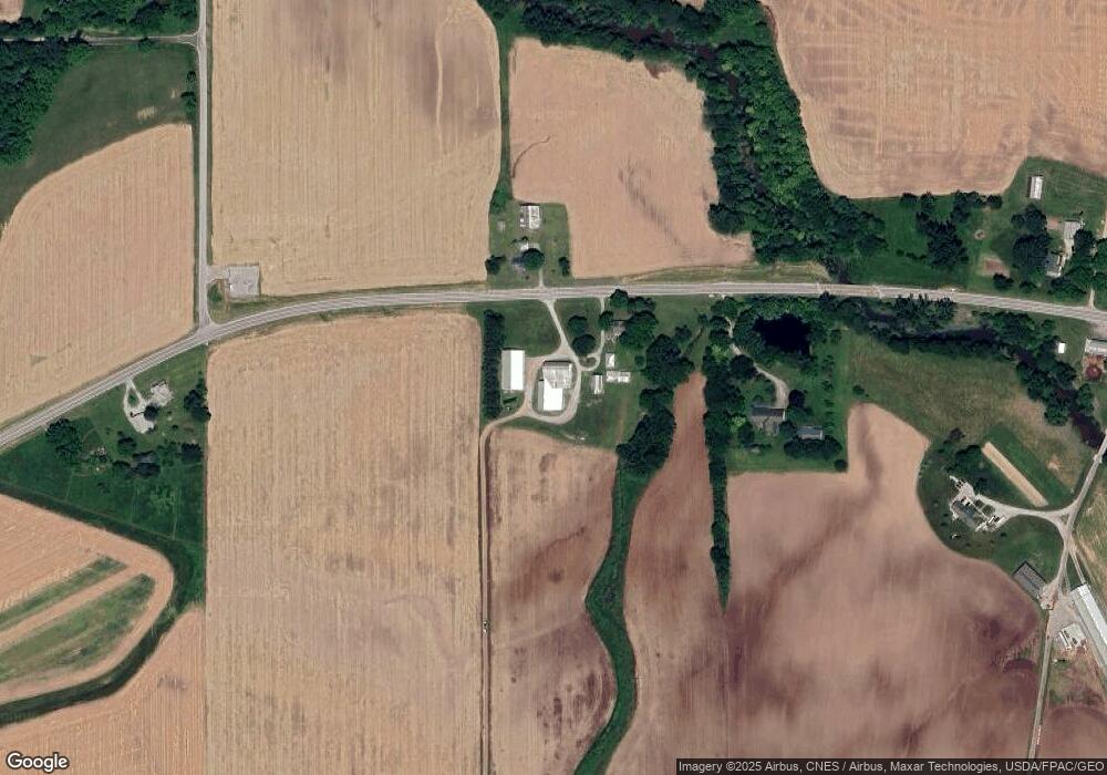
Map
- 23385 Township Road 126
- 23469 Township Road 126
- 14990 County Highway 64
- 18627 Ohio 67
- 22408 County Road 144
- 3065 County Road 205
- 2554 Dry Lane Rd N
- 0 Osbun Rd Unit Lot 27 225032274
- 00 Osbun Rd Unit Lot 6
- 10326 Township Road 179
- 1431 County Road 26
- 408 S Patterson St
- 628 E Lima St
- 412 S Patterson St
- 6964 Irvin Shoots Rd W
- 402 E Lima St
- 208 Mad River St
- 5091 County Road 175
- 162 N Main St
- 16439 County Road 144
- 17094 State Route 67
- 17261 State Route 67
- 16580 State Route 67
- 19348 County Highway 93
- 17600 State Route 67
- 17279 Township Highway 71
- 19092 County 93 Hwy
- 19926 Township Highway 94
- 16469 State Route 67
- 17201 Township Highway 71
- 17202 Township Highway 71
- 16469 Ohio 67
- 16470 State Route 67
- 16470 Ohio 67
- 17751 Th 76
- 17316 County Highway 71
- 16355 Township Highway 71
- 20263 Township Highway 94
- 17490 County Highway 71
- 21996 Sr
Ask me questions while you tour the home.