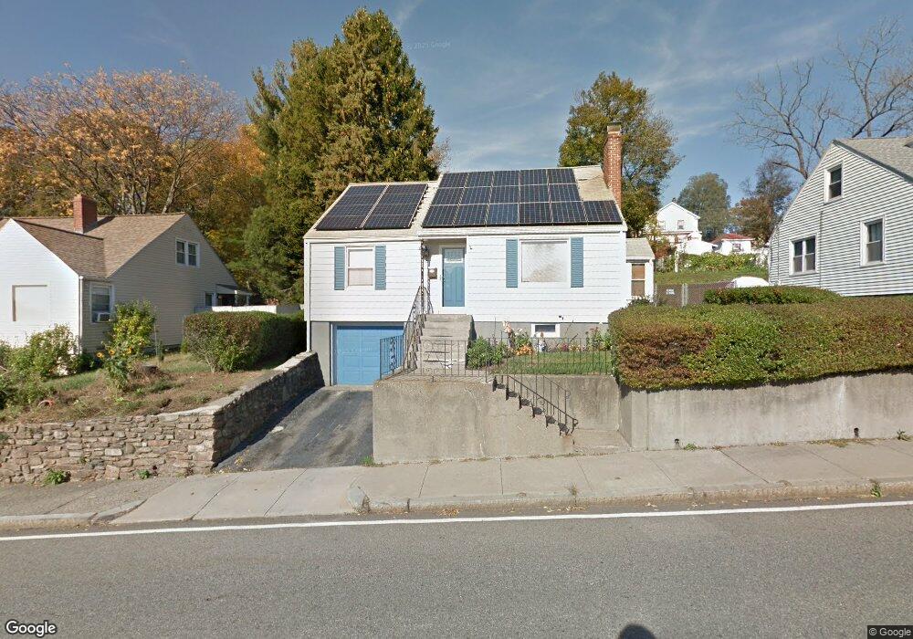
171 Millbrook St Worcester, MA 01605
North Lincoln Street NeighborhoodEstimated Value: $365,000 - $425,000
About This Home
This home is located at 171 Millbrook St, Worcester, MA 01605 and is currently estimated at $395,014, approximately $296 per square foot. 171 Millbrook St is a home located in Worcester County with nearby schools including Jacob Hiatt Magnet School, Chandler Magnet, and Wawecus Road School.
Ownership History
We collect this data history from publicly available records. To have your information removed, we recommend requesting removal directly through your county’s website.
Purchase Details
Purchase Details
Home Financials for this Owner
Home Financials are based on the most recent Mortgage that was taken out on this home.Home Values in the Area
Average Home Value in this Area
Purchase History
We collect this data history from publicly available records. To have your information removed, we recommend requesting removal directly through your county’s website.
| Date | Buyer | Sale Price | Title Company |
|---|---|---|---|
| -- | -- | ||
| $87,000 | -- |
Mortgage History
We collect this data history from publicly available records. To have your information removed, we recommend requesting removal directly through your county’s website.
| Date | Status | Borrower | Loan Amount |
|---|---|---|---|
| Previous Owner | $65,916 | ||
| Previous Owner | $86,900 | ||
| Previous Owner | $37,200 |
Tax History
We collect this data history from publicly available records. To have your information removed, we recommend requesting removal directly through your county’s website.
| Year | Tax Paid | Tax Assessment Tax Assessment Total Assessment is a certain percentage of the fair market value that is determined by local assessors to be the total taxable value of land and additions on the property. | Land | Improvement |
|---|---|---|---|---|
| 2025 | $4,520 | $342,700 | $117,700 | $225,000 |
| 2024 | $4,445 | $323,300 | $117,700 | $205,600 |
| 2023 | $4,252 | $296,500 | $102,300 | $194,200 |
| 2022 | $4,047 | $266,100 | $81,900 | $184,200 |
| 2021 | $3,850 | $236,500 | $65,500 | $171,000 |
| 2020 | $3,760 | $221,200 | $65,500 | $155,700 |
| 2019 | $3,578 | $198,800 | $58,900 | $139,900 |
| 2018 | $3,593 | $190,000 | $58,900 | $131,100 |
| 2017 | $3,431 | $178,500 | $58,900 | $119,600 |
| 2016 | $3,349 | $162,500 | $42,800 | $119,700 |
| 2015 | $3,261 | $162,500 | $42,800 | $119,700 |
| 2014 | $3,175 | $162,500 | $42,800 | $119,700 |
Map
- 31 Barnard Rd
- 25 Kenwood Ave
- 2 Davidson Rd
- 6 Ashburnham Rd
- 3 Wallace St
- 11 Wakefield St
- 46 North Pkwy
- 51 Uxbridge St
- 40 Duxbury Rd
- 27 Harlow St
- 19 Denmark St
- 32 Hemans St
- 178 Lincoln St Unit 15
- 10 Hemans St Unit 21
- 223 Beverly Rd
- 5 Loring St
- 35 Boardman St
- 53 Barber Ave
- 22 Merrill Rd
- 41 Westminster St
- 173 Millbrook St
- 175 Millbrook St
- 169 Millbrook St
- 11 Burncoat Terrace
- 23 Burncoat Terrace
- 25 Burncoat Terrace
- 31 Burncoat Terrace
- 11 Burncoat Terrace
- 167 Millbrook St
- 33 Burncoat Terrace
- 35 Burncoat Terrace
- 161 Millbrook St
- 30 Burncoat Heights
- 7 Burncoat Terrace
- 37 Burncoat Terrace
- 24 Burncoat Terrace
- 159 Millbrook St
- 24 Burncoat Terrace
- 40 Burncoat Heights
- 28 Burncoat Terrace
Ask me questions while you tour the home.