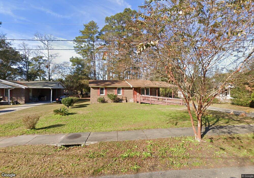
1710 Robin Rd Conway, SC 29527
Estimated Value: $139,000 - $201,000
About This Home
This home is located at 1710 Robin Rd, Conway, SC 29527 and is currently estimated at $161,488, approximately $153 per square foot. 1710 Robin Rd is a home located in Horry County with nearby schools including Waccamaw Elementary School, Black Water Middle School, and Carolina Forest High School.
Ownership History
We collect this data history from publicly available records. To have your information removed, we recommend requesting removal directly through your county’s website.
Purchase Details
Home Financials for this Owner
Home Financials are based on the most recent Mortgage that was taken out on this home.Purchase Details
Purchase Details
Purchase Details
Purchase Details
Home Values in the Area
Average Home Value in this Area
Purchase History
We collect this data history from publicly available records. To have your information removed, we recommend requesting removal directly through your county’s website.
| Date | Buyer | Sale Price | Title Company |
|---|---|---|---|
| $25,000 | -- | ||
| $25,000 | -- | ||
| -- | -- | ||
| $21,000 | -- | ||
| -- | -- | ||
| -- | -- |
Mortgage History
We collect this data history from publicly available records. To have your information removed, we recommend requesting removal directly through your county’s website.
| Date | Status | Borrower | Loan Amount |
|---|---|---|---|
| Open | $85,500 |
Tax History
We collect this data history from publicly available records. To have your information removed, we recommend requesting removal directly through your county’s website.
| Year | Tax Paid | Tax Assessment Tax Assessment Total Assessment is a certain percentage of the fair market value that is determined by local assessors to be the total taxable value of land and additions on the property. | Land | Improvement |
|---|---|---|---|---|
| 2025 | $1,950 | $0 | $0 | $0 |
| 2024 | $1,950 | $7,506 | $3,006 | $4,500 |
| 2023 | $1,929 | $4,881 | $603 | $4,278 |
| 2021 | $1,663 | $4,881 | $603 | $4,278 |
| 2020 | $1,243 | $4,881 | $603 | $4,278 |
| 2019 | $1,243 | $4,881 | $603 | $4,278 |
| 2018 | $1,270 | $4,741 | $601 | $4,140 |
| 2017 | $1,270 | $4,741 | $601 | $4,140 |
| 2016 | -- | $4,741 | $601 | $4,140 |
| 2015 | $1,270 | $4,741 | $601 | $4,140 |
| 2014 | $1,236 | $4,741 | $601 | $4,140 |
Map
- 903 Durant St
- TBD HWY 501 E Highway 501
- 779 Woodside Dr
- 000 Racepath Ave
- 2204 6th Ave
- TBD Highway 378
- 0000 Wright Blvd
- 1708 9th Ave
- 1512 Racepath Ave
- 1842 Spivey Ave
- 411 Apple Ln
- 1714 16th Ave
- 1901 6th Ave
- 522 Myrtle St Unit Lot 303
- 518 Myrtle St Unit Lot 304
- 1613 4th Ave
- 1712 Brown St
- 7921 U S 701 Hwy
- 1800 Brown St
- 1504 Pickens St
Ask me questions while you tour the home.