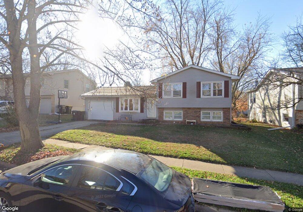
1711 Taft Dr Normal, IL 61761
Greenbriar NeighborhoodEstimated Value: $208,000 - $224,000
About This Home
This home is located at 1711 Taft Dr, Normal, IL 61761 and is currently estimated at $214,419, approximately $207 per square foot. 1711 Taft Dr is a home located in McLean County with nearby schools including Grove Elementary School, Chiddix Junior High School, and Normal Community High School.
Ownership History
We collect this data history from publicly available records. To have your information removed, we recommend requesting removal directly through your county’s website.
Purchase Details
Purchase Details
Purchase Details
Purchase Details
Home Values in the Area
Average Home Value in this Area
Purchase History
We collect this data history from publicly available records. To have your information removed, we recommend requesting removal directly through your county’s website.
| Date | Buyer | Sale Price | Title Company |
|---|---|---|---|
| -- | None Listed On Document | ||
| $75,000 | None Available | ||
| -- | None Available | ||
| -- | None Available |
Tax History
We collect this data history from publicly available records. To have your information removed, we recommend requesting removal directly through your county’s website.
| Year | Tax Paid | Tax Assessment Tax Assessment Total Assessment is a certain percentage of the fair market value that is determined by local assessors to be the total taxable value of land and additions on the property. | Land | Improvement |
|---|---|---|---|---|
| 2025 | $4,492 | $60,375 | $13,580 | $46,795 |
| 2024 | $4,239 | $55,319 | $12,443 | $42,876 |
| 2022 | $4,020 | $44,750 | $10,066 | $34,684 |
| 2021 | $3,883 | $42,221 | $9,497 | $32,724 |
| 2020 | $3,861 | $41,782 | $9,398 | $32,384 |
| 2019 | $3,731 | $41,558 | $9,348 | $32,210 |
| 2018 | $3,689 | $41,118 | $9,249 | $31,869 |
| 2017 | $3,558 | $41,118 | $9,249 | $31,869 |
| 2016 | $3,519 | $41,118 | $9,249 | $31,869 |
| 2015 | $3,424 | $40,154 | $9,032 | $31,122 |
| 2014 | $3,381 | $40,154 | $9,032 | $31,122 |
| 2013 | -- | $40,154 | $9,032 | $31,122 |
Map
- 1828 Johnson Dr
- Lot 21 Susan Dr
- 2504 Shepard Rd
- 2600 Fieldstone Ct
- 2604 Red Rock Rd
- 1214 Slate St
- 1531 Duncannon Dr
- 2519 Opal Rd
- 1536 Hunt Dr Unit A
- 2510 Garlington Ln
- 2506 Opal Rd
- 1532 Hunt Dr Unit A
- 1 Shorewood Ct
- 2932 Shepard Rd
- 1216 Granite Way
- 2921 Grey Hawk Dr
- 1406 Oreilly Ct
- 25 Bay Pointe Dr
- Town ship 24 North SE (1 4) of Section 19
- Lot G Corner Fort Jesse & Towanda Barnes
- 1716 Johnson Dr
- 1718 Johnson Dr
- 1714 Johnson Dr
- 1717 Taft Dr
- 1719 Taft Dr
- 1720 Johnson Dr
- 1715 Taft Dr
- 1712 Johnson Dr
- 1717 Johnson Dr
- 1721 Taft Dr
- 1713 Taft Dr
- 1719 Johnson Dr
- 1715 Johnson Dr
- 1710 Johnson Dr
- 1713 Johnson Dr
- 1723 Taft Dr
- 1723 Johnson Dr
- 1711 Johnson Dr
- 1708 Johnson Dr
- 1724 Johnson Dr
Ask me questions while you tour the home.