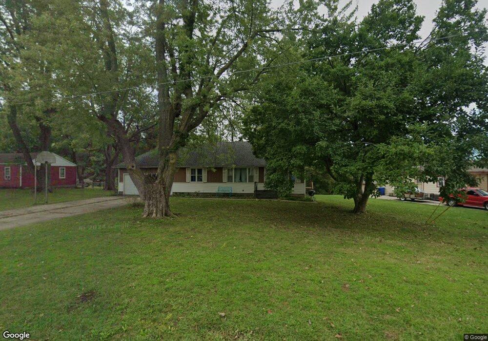
1712 James Downey Rd Independence, MO 64057
Bridger NeighborhoodEstimated Value: $180,567 - $214,000
3
Beds
2
Baths
1,025
Sq Ft
$195/Sq Ft
Est. Value
About This Home
This home is located at 1712 James Downey Rd, Independence, MO 64057 and is currently estimated at $199,642, approximately $194 per square foot. 1712 James Downey Rd is a home located in Jackson County with nearby schools including Blackburn Elementary School, Bridger Middle School, and Bingham Middle School.
Ownership History
Date
Name
Owned For
Owner Type
Purchase Details
Closed on
Dec 27, 2001
Sold by
Johnson Earl H and Johnson Patricia F
Bought by
Johnson Earl H and Johnson Patricia F
Current Estimated Value
Home Financials for this Owner
Home Financials are based on the most recent Mortgage that was taken out on this home.
Original Mortgage
$63,000
Interest Rate
6.54%
Mortgage Type
Purchase Money Mortgage
Create a Home Valuation Report for This Property
The Home Valuation Report is an in-depth analysis detailing your home's value as well as a comparison with similar homes in the area
Home Values in the Area
Average Home Value in this Area
Purchase History
| Date | Buyer | Sale Price | Title Company |
|---|---|---|---|
| Johnson Earl H | -- | Chicago Title Co |
Source: Public Records
Mortgage History
| Date | Status | Borrower | Loan Amount |
|---|---|---|---|
| Closed | Johnson Earl H | $63,000 |
Source: Public Records
Tax History
| Year | Tax Paid | Tax Assessment Tax Assessment Total Assessment is a certain percentage of the fair market value that is determined by local assessors to be the total taxable value of land and additions on the property. | Land | Improvement |
|---|---|---|---|---|
| 2025 | $1,354 | $22,477 | $7,923 | $14,554 |
| 2024 | $1,323 | $19,545 | $5,748 | $13,797 |
| 2023 | $1,323 | $19,545 | $5,603 | $13,942 |
| 2022 | $1,291 | $17,480 | $3,884 | $13,596 |
| 2021 | $1,291 | $17,480 | $3,884 | $13,596 |
| 2020 | $1,261 | $16,597 | $3,884 | $12,713 |
| 2019 | $1,241 | $16,597 | $3,884 | $12,713 |
| 2018 | $1,131 | $14,445 | $3,380 | $11,065 |
| 2017 | $1,131 | $14,445 | $3,380 | $11,065 |
| 2016 | $1,114 | $14,083 | $2,740 | $11,343 |
Source: Public Records
Map
Nearby Homes
- 16805 Sunset Dr
- 1800 S M 291 Hwy
- 1916 James Downey Rd
- 1720 S Ellison Way
- 16314 E Pacific Ave
- 2100 James Downey Rd
- 1225 Berry Rd
- 0 S Swope Dr
- 5218 Indiana Ave
- 2100 & 2105 S Ellison Way
- 1723 S Whitney Dr
- 915 S Trail Ridge Dr
- 1910 S Lees Summit Rd
- 2119 S Lees Summit Rd
- 1820 E Morgan Rd
- 2417 S Ellison Way
- 1749 Sinnott Cir
- 18710 E Truman Rd
- 1923 S Cochise Ave
- 703 N Frandsen Rd
- 1716 James Downey Rd
- 16811 James Downey Rd
- 1717 James Downey Rd
- 1800 James Downey Rd
- 1721 James Downey Rd
- 1713 James Downey Rd
- 16809 James Downey Rd
- 1708 Highland Dr
- 1709 Highland Dr
- 1806 James Downey Rd
- 16805 James Downey Rd
- 1725 James Downey Rd
- 1810 James Downey Rd
- 1705 Highland Dr
- 1717 S State Route 291
- 1702 Highland Dr
- 16806 James Downey Rd
- 1701 Highland Dr
- 1709 S State Route 291
- 1748 Berry Rd
Your Personal Tour Guide
Ask me questions while you tour the home.