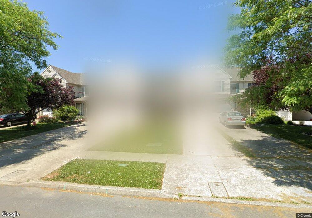
1713 Brookstone Dr Alburtis, PA 18011
Estimated Value: $341,000 - $414,000
3
Beds
3
Baths
1,662
Sq Ft
$220/Sq Ft
Est. Value
About This Home
This home is located at 1713 Brookstone Dr, Alburtis, PA 18011 and is currently estimated at $365,406, approximately $219 per square foot. 1713 Brookstone Dr is a home located in Lehigh County with nearby schools including Alburtis Elementary School, Lower Macungie Middle School, and Emmaus High School.
Ownership History
Date
Name
Owned For
Owner Type
Purchase Details
Closed on
Dec 6, 2002
Sold by
Breisch Charles F and Breisch Dolores R
Bought by
Soonasra Abdullah F and Soonasra Jamila A
Current Estimated Value
Home Financials for this Owner
Home Financials are based on the most recent Mortgage that was taken out on this home.
Original Mortgage
$70,000
Outstanding Balance
$28,296
Interest Rate
6.19%
Mortgage Type
Purchase Money Mortgage
Estimated Equity
$337,110
Create a Home Valuation Report for This Property
The Home Valuation Report is an in-depth analysis detailing your home's value as well as a comparison with similar homes in the area
Home Values in the Area
Average Home Value in this Area
Purchase History
We collect this data history from publicly available records. To have your information removed, we recommend requesting removal directly through your county’s website.
| Date | Buyer | Sale Price | Title Company |
|---|---|---|---|
| Soonasra Abdullah F | $131,900 | -- |
Source: Public Records
Mortgage History
We collect this data history from publicly available records. To have your information removed, we recommend requesting removal directly through your county’s website.
| Date | Status | Borrower | Loan Amount |
|---|---|---|---|
| Open | Soonasra Abdullah F | $70,000 |
Source: Public Records
Tax History
| Year | Tax Paid | Tax Assessment Tax Assessment Total Assessment is a certain percentage of the fair market value that is determined by local assessors to be the total taxable value of land and additions on the property. | Land | Improvement |
|---|---|---|---|---|
| 2026 | $4,404 | $167,000 | $10,900 | $156,100 |
| 2025 | $4,264 | $167,000 | $10,900 | $156,100 |
| 2024 | $4,125 | $167,000 | $10,900 | $156,100 |
| 2023 | $4,043 | $167,000 | $10,900 | $156,100 |
| 2022 | $3,947 | $167,000 | $156,100 | $10,900 |
| 2021 | $3,863 | $167,000 | $10,900 | $156,100 |
| 2020 | $3,826 | $167,000 | $10,900 | $156,100 |
| 2019 | $3,761 | $167,000 | $10,900 | $156,100 |
| 2018 | $3,712 | $167,000 | $10,900 | $156,100 |
| 2017 | $3,647 | $167,000 | $10,900 | $156,100 |
| 2016 | -- | $167,000 | $10,900 | $156,100 |
| 2015 | -- | $167,000 | $10,900 | $156,100 |
| 2014 | -- | $167,000 | $10,900 | $156,100 |
Source: Public Records
Map
Nearby Homes
- 1769 Pinewind Dr
- 1590 Pinewind Dr
- 1560 Pinewind Dr
- 1981 Creamery Ct
- 8012 Century Blvd
- 1168 Martin Cir
- 1162 Martin Cir
- 8204 Alexander Ct
- 8205 Alexander Ct
- 8212 Alexander Ct
- 8213 Alexander Ct
- 8207 Brodie Ct
- 8219 Brodie Ct
- 8203 Brodie Ct
- 8205 Brodie Ct
- 8201 Brodie Ct
- 8206 Alexander Ct
- 8217 Brodie Ct
- 8209 Brodie Ct
- 8215 Alexander Ct
- 1699 Brookstone Dr
- 1697 Brookstone Dr
- 1701 Brookstone Dr
- 1695 Brookstone Dr
- 1693 Brookstone Dr
- 1691 Brookstone Dr
- 1705 Brookstone Dr
- 1707 Brookstone Dr
- 1709 Brookstone Dr
- 1711 Brookstone Dr
- 1687 Brookstone Dr
- 8140 Heritage Dr
- 8138 Heritage Dr
- 8136 Heritage Dr Unit 256
- 8136 Heritage Dr
- 1715 Brookstone Dr
- 8134 Heritage Dr
- 1717 Brookstone Dr
- 8132 Heritage Dr
- 1698 Brookstone Dr
Your Personal Tour Guide
Ask me questions while you tour the home.