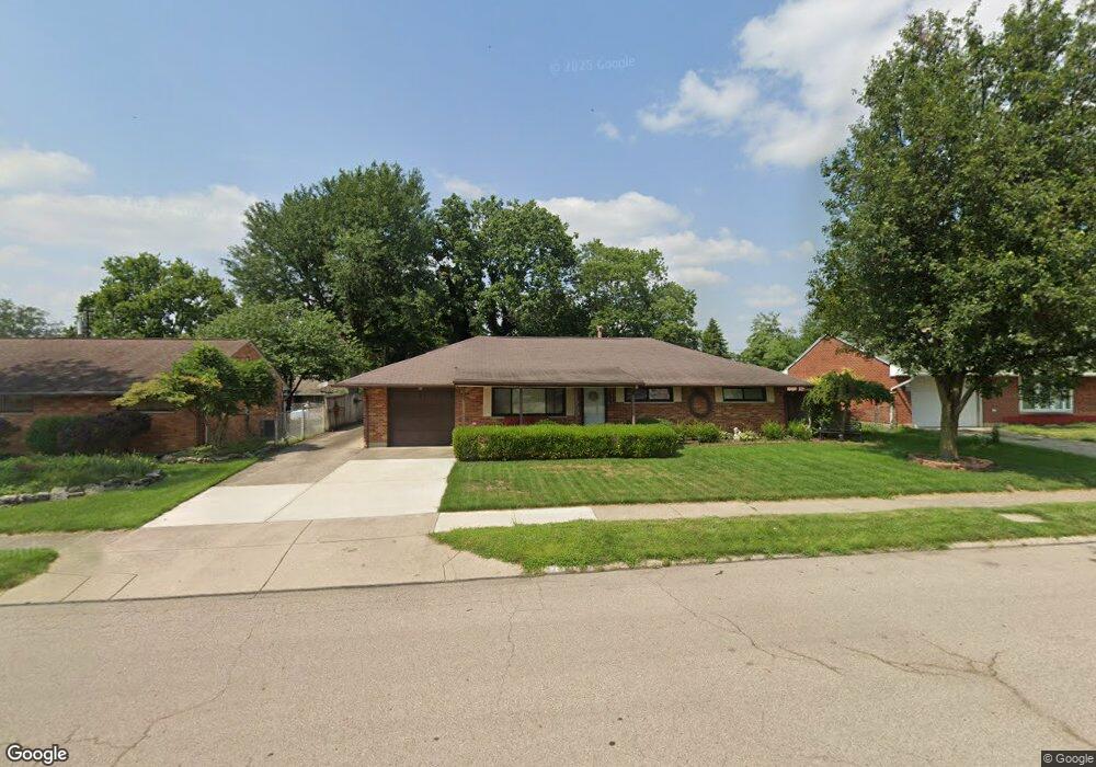
1713 W Stroop Rd Dayton, OH 45439
Estimated Value: $196,000 - $206,000
3
Beds
1
Bath
1,472
Sq Ft
$136/Sq Ft
Est. Value
About This Home
This home is located at 1713 W Stroop Rd, Dayton, OH 45439 and is currently estimated at $200,907, approximately $136 per square foot. 1713 W Stroop Rd is a home located in Montgomery County with nearby schools including Southdale Elementary School, Van Buren Middle School, and Kettering Fairmont High School.
Ownership History
Date
Name
Owned For
Owner Type
Purchase Details
Closed on
Jan 5, 2008
Sold by
Savely Garnette Faye
Bought by
Hay Deloris J and Hay Michael J
Current Estimated Value
Purchase Details
Closed on
Dec 11, 2000
Sold by
Hay Deloris J
Bought by
Hay Michael J and Hay Deloris J
Home Financials for this Owner
Home Financials are based on the most recent Mortgage that was taken out on this home.
Original Mortgage
$73,600
Interest Rate
7.1%
Create a Home Valuation Report for This Property
The Home Valuation Report is an in-depth analysis detailing your home's value as well as a comparison with similar homes in the area
Home Values in the Area
Average Home Value in this Area
Purchase History
| Date | Buyer | Sale Price | Title Company |
|---|---|---|---|
| Hay Deloris J | $30,000 | Attorney | |
| Hay Michael J | -- | -- |
Source: Public Records
Mortgage History
| Date | Status | Borrower | Loan Amount |
|---|---|---|---|
| Previous Owner | Hay Michael J | $73,600 |
Source: Public Records
Tax History
| Year | Tax Paid | Tax Assessment Tax Assessment Total Assessment is a certain percentage of the fair market value that is determined by local assessors to be the total taxable value of land and additions on the property. | Land | Improvement |
|---|---|---|---|---|
| 2025 | $2,989 | $56,260 | $10,850 | $45,410 |
| 2024 | $2,943 | $56,260 | $10,850 | $45,410 |
| 2023 | $2,943 | $56,260 | $10,850 | $45,410 |
| 2022 | $2,191 | $36,360 | $7,000 | $29,360 |
| 2021 | $2,028 | $36,360 | $7,000 | $29,360 |
| 2020 | $2,030 | $36,360 | $7,000 | $29,360 |
| 2019 | $1,871 | $31,220 | $7,000 | $24,220 |
| 2018 | $1,881 | $31,220 | $7,000 | $24,220 |
| 2017 | $1,734 | $31,220 | $7,000 | $24,220 |
| 2016 | $1,839 | $31,170 | $7,000 | $24,170 |
| 2015 | $1,758 | $31,170 | $7,000 | $24,170 |
| 2014 | $1,758 | $31,170 | $7,000 | $24,170 |
| 2012 | -- | $32,720 | $8,400 | $24,320 |
Source: Public Records
Map
Nearby Homes
- 1681 Hillwood Dr
- 2090 Mattis Dr
- 3913 Elmira Dr
- 3743 Cordell Dr
- 4301 Tait Rd
- 2218 Finland Dr
- 4304 Harbison St
- 2183 Los Arrow Dr
- 3596 Tait Rd
- 1770 Big Hill Rd
- 4476 Hannaford St
- 4515 Harbison St
- 4518 Harbison St
- 4528 Southern Dr
- 2337 Ned Dr
- 5100 Oak Ave
- 3497 Tall Timber Trail
- 2623 Blanchard Ave
- 3285 Southdale Dr Unit 4
- 3225 Southdale #5 Dr
- 1725 W Stroop Rd
- 1701 W Stroop Rd
- 3971 Cordell Dr
- 1708 Hillwood Dr
- 1716 Hillwood Dr
- 1737 W Stroop Rd
- 1700 Hillwood Dr
- 1724 Hillwood Dr
- 1749 W Stroop Rd
- 2036 W Stroop Rd
- 1732 Hillwood Dr
- 2062 W Stroop Rd
- 1697 W Stroop Rd
- 2050 W Stroop Rd
- 3972 Cordell Dr
- 2074 W Stroop Rd
- 1701 Hillwood Dr
- 1709 Hillwood Dr
- 1761 W Stroop Rd
- 1717 Hillwood Dr
Your Personal Tour Guide
Ask me questions while you tour the home.