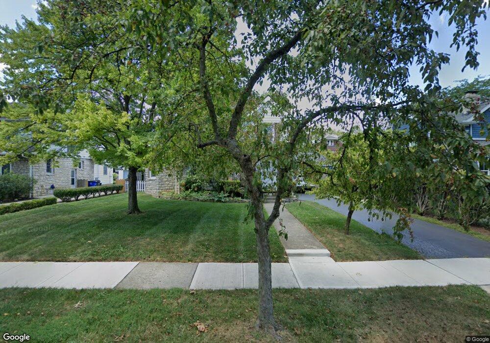
1719 Andover Rd Columbus, OH 43212
Estimated Value: $769,000 - $884,000
4
Beds
2
Baths
2,477
Sq Ft
$342/Sq Ft
Est. Value
About This Home
This home is located at 1719 Andover Rd, Columbus, OH 43212 and is currently estimated at $846,361, approximately $341 per square foot. 1719 Andover Rd is a home located in Franklin County with nearby schools including Barrington Road Elementary School, Jones Middle School, and Upper Arlington High School.
Ownership History
Date
Name
Owned For
Owner Type
Purchase Details
Closed on
Jul 28, 1995
Sold by
William E Master Jr
Bought by
Johnson Peter P Schulz and Johnson Mary E
Current Estimated Value
Home Financials for this Owner
Home Financials are based on the most recent Mortgage that was taken out on this home.
Original Mortgage
$132,900
Interest Rate
7.59%
Mortgage Type
New Conventional
Create a Home Valuation Report for This Property
The Home Valuation Report is an in-depth analysis detailing your home's value as well as a comparison with similar homes in the area
Home Values in the Area
Average Home Value in this Area
Purchase History
| Date | Buyer | Sale Price | Title Company |
|---|---|---|---|
| Johnson Peter P Schulz | $139,900 | -- |
Source: Public Records
Mortgage History
| Date | Status | Borrower | Loan Amount |
|---|---|---|---|
| Closed | Johnson Peter P Schulz | $132,900 |
Source: Public Records
Tax History
| Year | Tax Paid | Tax Assessment Tax Assessment Total Assessment is a certain percentage of the fair market value that is determined by local assessors to be the total taxable value of land and additions on the property. | Land | Improvement |
|---|---|---|---|---|
| 2025 | $14,359 | $244,410 | $118,970 | $125,440 |
| 2024 | $14,359 | $244,410 | $118,970 | $125,440 |
| 2023 | $13,974 | $244,410 | $118,970 | $125,440 |
| 2022 | $12,072 | $170,350 | $64,890 | $105,460 |
| 2021 | $10,537 | $170,350 | $64,890 | $105,460 |
| 2020 | $10,444 | $170,350 | $64,890 | $105,460 |
| 2019 | $10,553 | $152,180 | $64,890 | $87,290 |
| 2018 | $9,600 | $152,180 | $64,890 | $87,290 |
| 2017 | $10,472 | $152,180 | $64,890 | $87,290 |
| 2016 | $8,364 | $126,500 | $45,960 | $80,540 |
| 2015 | $8,494 | $126,500 | $45,960 | $80,540 |
| 2014 | $8,366 | $126,500 | $45,960 | $80,540 |
| 2013 | $3,995 | $115,010 | $41,790 | $73,220 |
Source: Public Records
Map
Nearby Homes
- 1561 Glenn Ave
- 1530 Lincoln Rd
- 1523 Wyandotte Rd
- 2015 W 5th Ave Unit 211
- 2015 W 5th Ave Unit 102
- 2015 W 5th Ave Unit 108
- 1585 Arlington Ave Unit 1585A
- 1579 Arlington Ave Unit 1579B
- 1606 Elmwood Ave
- 1921 Wyandotte Rd
- 1631 Roxbury Rd Unit D2
- 1942 Bedford Rd
- 1648 Ashland Ave
- 1654-1656 Ashland Ave
- 1624 Ashland Ave
- 1876 Westwood Ave
- 1951 Glenn Ave
- 1810 Ashland Ave
- 1507 Chesapeake Ave
- 1427 Roxbury Rd Unit Manor House North
- 1709 Andover Rd
- 1869 King Ave
- 1699 Andover Rd
- 1716 Andover Rd
- 1885 King Ave
- 1691 Andover Rd
- 1827 King Ave
- 1716 Bedford Rd
- 1722 Bedford Rd
- 1700 Andover Rd
- 1743 Andover Rd
- 1694 Andover Rd
- 1685 Andover Rd
- 1710 Bedford Rd
- 1866 King Ave
- 1686 Andover Rd
- 1820 King Ave
- 1675 Andover Rd
- 1753 Andover Rd
- 1760 Bedford Rd
Your Personal Tour Guide
Ask me questions while you tour the home.