172 Forest Ave Cohasset, MA 02025
Cohasset AreaEstimated Value: $2,029,000 - $2,734,000
About This Home
This home is located at 172 Forest Ave, Cohasset, MA 02025 and is currently estimated at $2,404,755, approximately $386 per square foot. 172 Forest Ave is a home located in Norfolk County with nearby schools including Joseph Osgood School, Deer Hill School, and Cohasset Middle School.
Ownership History
We collect this data history from publicly available records. To have your information removed, we recommend requesting removal directly through your county’s website.
Purchase Details
Purchase Details
Purchase Details
Home Values in the Area
Average Home Value in this Area
Purchase History
We collect this data history from publicly available records. To have your information removed, we recommend requesting removal directly through your county’s website.
| Date | Buyer | Sale Price | Title Company |
|---|---|---|---|
| -- | None Available | ||
| -- | -- | ||
| -- | -- |
Tax History
We collect this data history from publicly available records. To have your information removed, we recommend requesting removal directly through your county’s website.
| Year | Tax Paid | Tax Assessment Tax Assessment Total Assessment is a certain percentage of the fair market value that is determined by local assessors to be the total taxable value of land and additions on the property. | Land | Improvement |
|---|---|---|---|---|
| 2025 | $20,505 | $1,770,700 | $793,000 | $977,700 |
| 2024 | $20,077 | $1,649,700 | $634,500 | $1,015,200 |
| 2023 | $18,963 | $1,607,000 | $634,200 | $972,800 |
| 2022 | $19,391 | $1,543,900 | $634,200 | $909,700 |
| 2021 | $19,140 | $1,467,800 | $634,200 | $833,600 |
| 2020 | $19,037 | $1,467,800 | $634,200 | $833,600 |
| 2019 | $18,935 | $1,467,800 | $634,200 | $833,600 |
| 2018 | $18,773 | $1,467,800 | $634,200 | $833,600 |
| 2017 | $19,444 | $1,488,800 | $634,200 | $854,600 |
| 2016 | $19,176 | $1,488,800 | $634,200 | $854,600 |
| 2015 | $18,460 | $1,452,400 | $597,800 | $854,600 |
| 2014 | $18,213 | $1,452,400 | $597,800 | $854,600 |
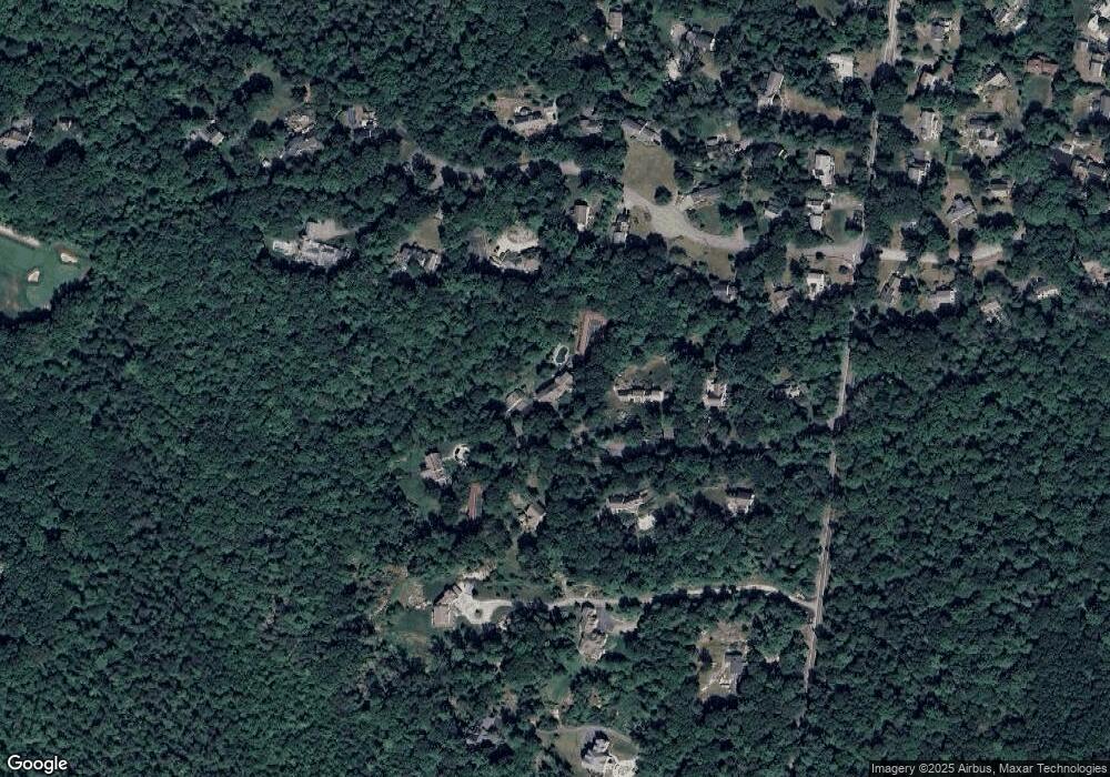
Map
- 188 Forest Ave
- 14 Cedarledge Village
- 32 Howe Rd
- 18 Cedarledge Village Unit 18
- 54 Rust Way
- 520 Jerusalem Rd Unit 1A
- 33 Cedar Acres Ln
- 486 Jerusalem Rd
- 792 Jerusalem Rd
- 26 Lamberts Ln
- 28 Lamberts Ln
- 20 Nichols Rd
- 3 Jerusalem Ln
- 6 Montana Ave
- 179 Atlantic Ave
- 181 Atlantic Ave
- 24 School St Unit A
- 26 School St Unit 7
- 26 School St Unit 210
- 26 School St Unit 212
Ask me questions while you tour the home.