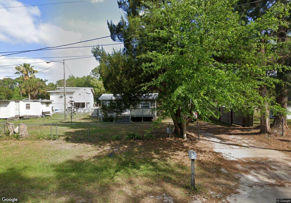
172 W Steadman Rd Pierson, FL 32180
Estimated Value: $100,000 - $242,000
1
Bed
1
Bath
520
Sq Ft
$334/Sq Ft
Est. Value
About This Home
This home is located at 172 W Steadman Rd, Pierson, FL 32180 and is currently estimated at $173,642, approximately $333 per square foot. 172 W Steadman Rd is a home located in Volusia County with nearby schools including Pierson Elementary School and T. Dewitt Taylor Middle/High School.
Ownership History
Date
Name
Owned For
Owner Type
Purchase Details
Closed on
Aug 25, 2022
Sold by
Louis Steadman Joshua
Bought by
Rubio Mary Lou
Current Estimated Value
Purchase Details
Closed on
May 10, 2021
Sold by
Davis Kenneth Wayne and Dority Jescinda W
Bought by
Steadman Joshua Louis
Purchase Details
Closed on
Dec 6, 2013
Sold by
Alexander Jescinda W
Bought by
Davis Kenneth Wayne and Alexander Jescinda W
Purchase Details
Closed on
Feb 15, 1984
Bought by
Davis Kenneth Wayne
Create a Home Valuation Report for This Property
The Home Valuation Report is an in-depth analysis detailing your home's value as well as a comparison with similar homes in the area
Home Values in the Area
Average Home Value in this Area
Purchase History
We collect this data history from publicly available records. To have your information removed, we recommend requesting removal directly through your county’s website.
| Date | Buyer | Sale Price | Title Company |
|---|---|---|---|
| Rubio Mary Lou | $75,000 | None Listed On Document | |
| Steadman Joshua Louis | $30,000 | Volusia Title Services | |
| Davis Kenneth Wayne | -- | None Available | |
| Davis Kenneth Wayne | $15,000 | -- |
Source: Public Records
Tax History
| Year | Tax Paid | Tax Assessment Tax Assessment Total Assessment is a certain percentage of the fair market value that is determined by local assessors to be the total taxable value of land and additions on the property. | Land | Improvement |
|---|---|---|---|---|
| 2026 | $1,945 | $98,305 | $12,480 | $85,825 |
| 2025 | $1,945 | $97,215 | $12,480 | $84,735 |
| 2024 | $1,712 | $83,238 | $8,970 | $74,268 |
| 2023 | $1,712 | $80,192 | $8,580 | $71,612 |
| 2022 | $870 | $40,288 | $7,410 | $32,878 |
| 2021 | $886 | $38,438 | $7,020 | $31,418 |
| 2020 | $816 | $36,351 | $6,630 | $29,721 |
| 2019 | $795 | $35,539 | $6,630 | $28,909 |
| 2018 | $758 | $35,201 | $6,630 | $28,571 |
| 2017 | $725 | $33,913 | $6,630 | $27,283 |
| 2016 | $635 | $28,360 | $0 | $0 |
| 2015 | $602 | $27,146 | $0 | $0 |
| 2014 | $526 | $21,760 | $0 | $0 |
Source: Public Records
Map
Nearby Homes
- 589 S Volusia Ave
- 0 North Unit MFRV4948906
- 177 E 3rd Ave
- 804 Shell Harbor Rd
- 180 E 3rd Ave
- 161 W 2nd Ave
- 103 E 2nd Ave
- 1640 Shell Harbor Rd
- 420 Roberts Rd
- 0 Roberts Rd Unit MFRFC313689
- 0 Roberts Rd Unit 1219309
- 810 Peterson Rd
- 0 Us-17 & 1st St E
- 195 N Frederick St
- 163 E Orange Ave
- 141 N Pine St
- 0 Peterson Rd
- 0 Shaw Lake Rd
- 499 Alfa Pkwy Lot 23
- 499 Alpha Pkwy
- 539 S Volusia Ave
- 529 S Volusia Ave
- 559 S Volusia Ave
- 525 S Volusia Ave
- 157 W Steadman Rd
- 563 S Volusia Ave
- 565 S Volusia Ave
- 141 W Steadman Rd
- 539 S Cox St
- 523 S Cox St
- 160 W Hagstrom Rd
- 180 W Hagstrom Rd
- 0 W Hagstrom Rd
- 520 S Steadman Rd
- 582 S Volusia Ave
- 567 S Volusia Ave
- 585 S Volusia Ave
- 127 W Hagstrom Rd
- 596 S Volusia Ave
- 150 S Volusia Ave
Your Personal Tour Guide
Ask me questions while you tour the home.