Estimated Value: $448,000 - $576,401
About This Home
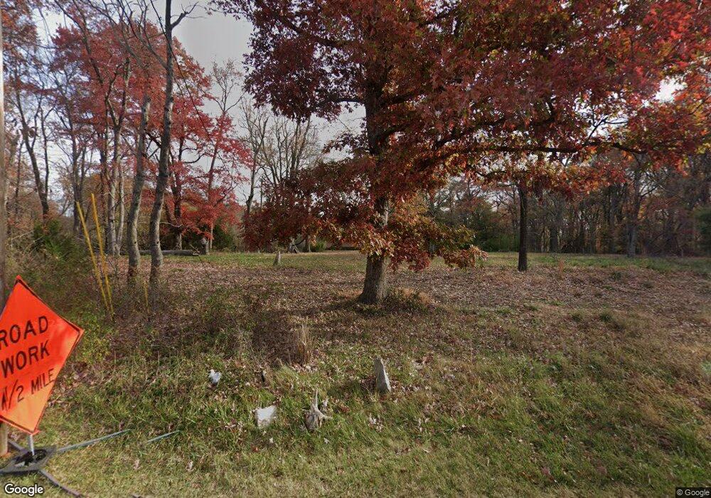
This home is located at 17201 Darnestown Rd, Boyds, MD 20841 and is currently estimated at $513,600, approximately $400 per square foot. 17201 Darnestown Rd is a home located in Montgomery County with nearby schools including Poolesville Elementary School, John H. Poole Middle School, and Poolesville High School.
Ownership History
We collect this data history from publicly available records. To have your information removed, we recommend requesting removal directly through your county’s website.
Purchase Details
Purchase Details
Purchase Details
Purchase Details
Purchase Details
Home Values in the Area
Average Home Value in this Area
Purchase History
We collect this data history from publicly available records. To have your information removed, we recommend requesting removal directly through your county’s website.
| Date | Buyer | Sale Price | Title Company |
|---|---|---|---|
| $405,000 | Commonwealth Land Title | ||
| -- | None Available | ||
| -- | -- | ||
| -- | -- | ||
| -- | -- |
Tax History
We collect this data history from publicly available records. To have your information removed, we recommend requesting removal directly through your county’s website.
| Year | Tax Paid | Tax Assessment Tax Assessment Total Assessment is a certain percentage of the fair market value that is determined by local assessors to be the total taxable value of land and additions on the property. | Land | Improvement |
|---|---|---|---|---|
| 2025 | $5,468 | $470,667 | -- | -- |
| 2024 | $5,891 | $455,800 | $268,900 | $186,900 |
| 2023 | $5,133 | $453,033 | $0 | $0 |
| 2022 | $5,556 | $450,267 | $0 | $0 |
| 2021 | $5,466 | $447,500 | $268,900 | $178,600 |
| 2020 | $10,853 | $446,733 | $0 | $0 |
| 2019 | $4,707 | $445,967 | $0 | $0 |
| 2018 | $4,700 | $445,200 | $268,900 | $176,300 |
| 2017 | $4,884 | $445,200 | $0 | $0 |
| 2016 | $4,368 | $445,200 | $0 | $0 |
| 2015 | $4,368 | $448,800 | $0 | $0 |
| 2014 | $4,368 | $446,900 | $0 | $0 |
Map
- 0 White Ground Rd Unit MDMC2207890
- 19101 Darnestown Rd
- 19010 Wootton Ave
- 19213 Wootton Ave
- 17108 Wild Turkey Way
- 17100 Wild Turkey Way
- 0 Wild Turkey Way
- 21331 Big Woods Rd
- 17112 Wild Turkey Way
- 17004 Spates Hill Rd
- 15313 Darnestown Rd
- 20020 Peach Tree Rd
- 20030 Peach Tree Rd
- 21 Hackett Ct
- 14514 Bubbling Spring Rd
- 19509 Fisher Ave Unit (LOT 2)
- 19507 Fisher Ave Unit (LOT 3)
- 19505 Fisher Ave Unit (LOT 1)
- 112 Allen Ln
- 15323 Forest Lake Ct
- 17125 Darnestown Rd
- 17315 Darnestown Rd
- 17300 Darnestown Rd
- 17101 Darnestown Rd
- 2110 Peach Tree Rd
- 17021 Darnestown Rd
- 18101 Bucklodge Rd
- 18111 Bucklodge Rd
- 17704 White Ground Rd
- 18100 Bucklodge Rd
- 16915 Darnestown Rd
- 17700 White Ground Rd
- 18151 Bucklodge Rd
- 17300 White Ground Rd
- 17000 Darnestown Rd
- 17601 White Ground Rd
- 17517 White Ground Rd
- 17601 Darnestown Rd
- 17511 White Ground Rd
- 17615 White Ground Rd
Ask me questions while you tour the home.