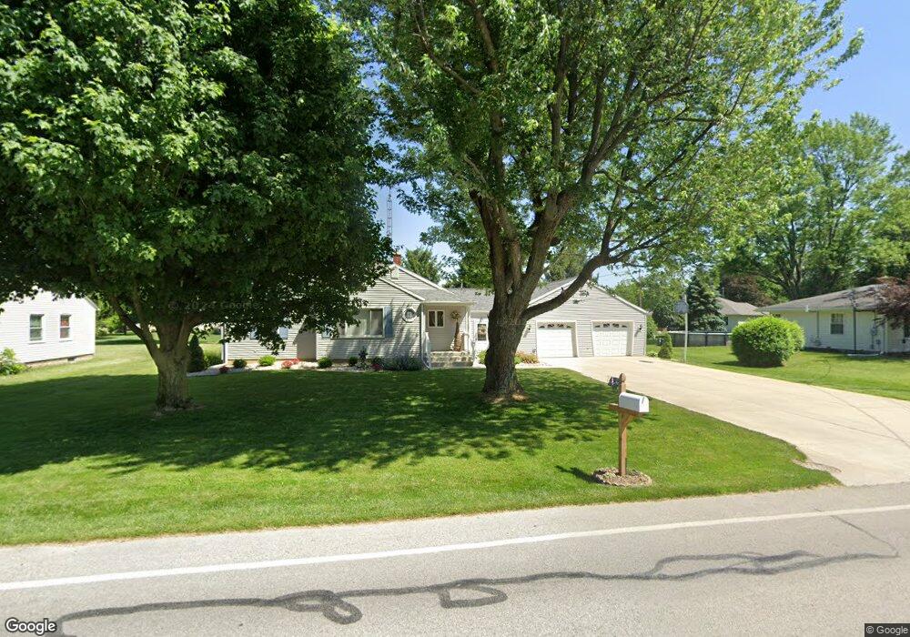
1729 Morrison Rd Fremont, OH 43420
Estimated Value: $218,000 - $252,000
3
Beds
2
Baths
1,266
Sq Ft
$182/Sq Ft
Est. Value
About This Home
This home is located at 1729 Morrison Rd, Fremont, OH 43420 and is currently estimated at $230,794, approximately $182 per square foot. 1729 Morrison Rd is a home located in Sandusky County with nearby schools including Fremont Ross High School, St. Joseph School, and Bishop Hoffman Catholic School - This is St Joe's School now.
Ownership History
Date
Name
Owned For
Owner Type
Purchase Details
Closed on
Dec 11, 2001
Sold by
Meyer David J
Bought by
Mancha Anita K and Mancha Reyes R
Current Estimated Value
Home Financials for this Owner
Home Financials are based on the most recent Mortgage that was taken out on this home.
Original Mortgage
$60,000
Interest Rate
6.68%
Mortgage Type
New Conventional
Purchase Details
Closed on
Jun 1, 1990
Bought by
Mancha Ii Reyes R and Mancha Anita K
Create a Home Valuation Report for This Property
The Home Valuation Report is an in-depth analysis detailing your home's value as well as a comparison with similar homes in the area
Home Values in the Area
Average Home Value in this Area
Purchase History
| Date | Buyer | Sale Price | Title Company |
|---|---|---|---|
| Mancha Anita K | $34,400 | -- | |
| Mancha Ii Reyes R | -- | -- |
Source: Public Records
Mortgage History
| Date | Status | Borrower | Loan Amount |
|---|---|---|---|
| Closed | Mancha Anita K | $60,000 |
Source: Public Records
Tax History
| Year | Tax Paid | Tax Assessment Tax Assessment Total Assessment is a certain percentage of the fair market value that is determined by local assessors to be the total taxable value of land and additions on the property. | Land | Improvement |
|---|---|---|---|---|
| 2025 | $2,763 | $211,700 | $31,700 | $180,000 |
| 2024 | $2,763 | $74,100 | $11,100 | $63,000 |
| 2023 | $2,880 | $51,840 | $7,770 | $44,070 |
| 2022 | $2,152 | $51,840 | $7,770 | $44,070 |
| 2021 | $2,217 | $51,840 | $7,770 | $44,070 |
| 2020 | $1,724 | $39,520 | $7,770 | $31,750 |
| 2019 | $1,722 | $39,520 | $7,770 | $31,750 |
| 2018 | $1,592 | $39,520 | $7,770 | $31,750 |
| 2017 | $1,508 | $35,390 | $7,770 | $27,620 |
| 2016 | $1,322 | $35,390 | $7,770 | $27,620 |
| 2015 | $1,301 | $35,390 | $7,770 | $27,620 |
| 2014 | $1,225 | $31,920 | $7,770 | $24,150 |
| 2013 | $1,199 | $31,920 | $7,770 | $24,150 |
Source: Public Records
Map
Nearby Homes
- 1250 Morrison Rd
- 1720 Tiffin Rd
- 1440 W Cole Rd
- 748 S Front St
- 746 S Front St
- 1485 Autumn Woods Dr
- 515 S Arch St
- 411 S Collinwood Blvd
- 1719 Buckland Ave
- 918 Birdseye Blvd
- 1012 Short St
- 1116 Buckland Ave
- 1310 Mcpherson Blvd
- 1107 Garrison St
- 0 E State St Unit 20260933
- 0 E State St Unit 20260876
- 123 N Prospect St
- 208 E State St
- 1128 Garrison St
- 758 Barker Rd
- 1719 Morrison Rd
- 1737 Morrison Rd
- 1724 Morrison Rd
- 100 Springbrook Dr
- 104 Springbrook Dr
- 1736 Morrison Rd
- 1713 Morrison Rd
- 650 E Cole Rd
- 108 Springbrook Dr
- 1749 Morrison Rd
- 11 Melissa Dr
- 1744 Morrison Rd
- 692 E Cole Rd
- 1705 Morrison Rd
- 112 Springbrook Dr
- 1758 Morrison Rd
- 613 E Cole Rd
- 21 Melissa Dr
- 10 Melissa Dr
- 1657 Morrison Rd
Your Personal Tour Guide
Ask me questions while you tour the home.