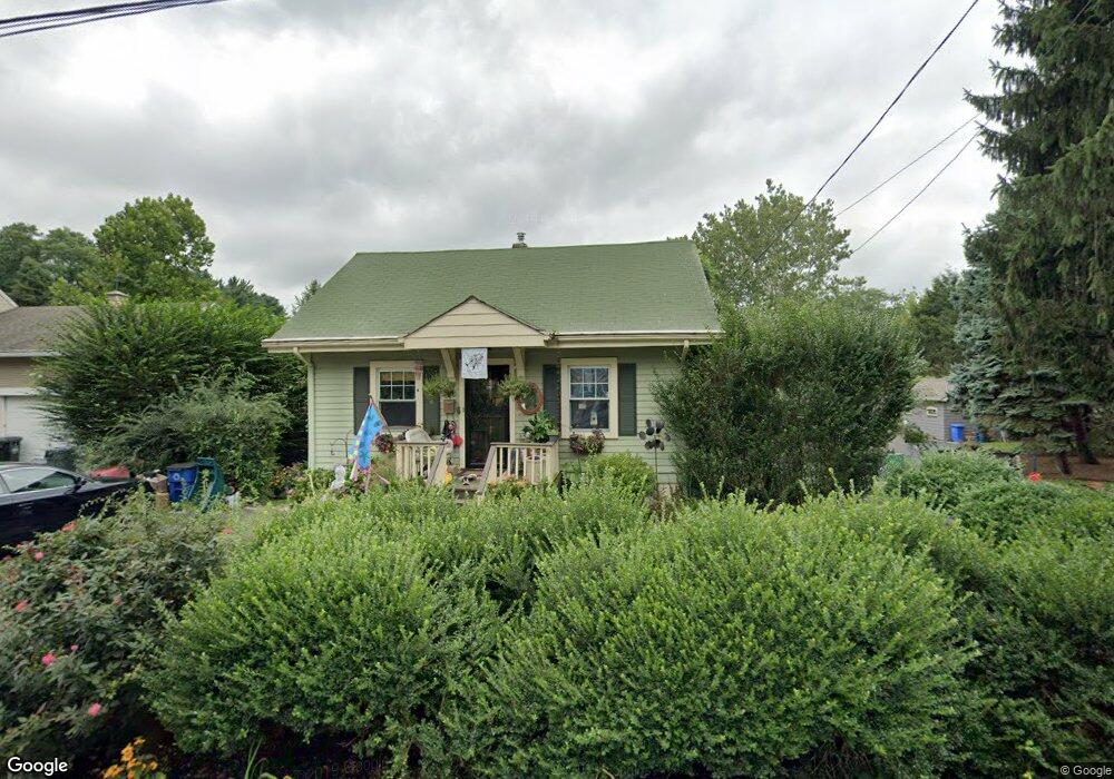
173 Locust Ave Mountainside, NJ 07092
Estimated Value: $464,000 - $613,000
Studio
--
Bath
1,130
Sq Ft
$488/Sq Ft
Est. Value
About This Home
This home is located at 173 Locust Ave, Mountainside, NJ 07092 and is currently estimated at $552,005, approximately $488 per square foot. 173 Locust Ave is a home located in Union County with nearby schools including Beechwood School, Deerfield Elementary School, and St Pauls Day School.
Ownership History
Date
Name
Owned For
Owner Type
Purchase Details
Closed on
Feb 5, 2010
Sold by
Estate Of William R Miller and Dowd Joan
Bought by
Holt Dionne
Current Estimated Value
Home Financials for this Owner
Home Financials are based on the most recent Mortgage that was taken out on this home.
Original Mortgage
$274,928
Outstanding Balance
$180,494
Interest Rate
4.87%
Mortgage Type
FHA
Estimated Equity
$371,511
Create a Home Valuation Report for This Property
The Home Valuation Report is an in-depth analysis detailing your home's value as well as a comparison with similar homes in the area
Home Values in the Area
Average Home Value in this Area
Purchase History
| Date | Buyer | Sale Price | Title Company |
|---|---|---|---|
| Holt Dionne | $280,000 | Prestige Title Agency Inc |
Source: Public Records
Mortgage History
| Date | Status | Borrower | Loan Amount |
|---|---|---|---|
| Open | Holt Dionne | $274,928 |
Source: Public Records
Tax History
| Year | Tax Paid | Tax Assessment Tax Assessment Total Assessment is a certain percentage of the fair market value that is determined by local assessors to be the total taxable value of land and additions on the property. | Land | Improvement |
|---|---|---|---|---|
| 2025 | $7,097 | $346,200 | $190,900 | $155,300 |
| 2024 | $6,882 | $346,200 | $190,900 | $155,300 |
| 2023 | $6,882 | $346,200 | $190,900 | $155,300 |
| 2022 | $6,914 | $346,200 | $190,900 | $155,300 |
| 2021 | $6,799 | $346,200 | $190,900 | $155,300 |
| 2020 | $5,523 | $73,900 | $35,100 | $38,800 |
| 2019 | $5,552 | $73,900 | $35,100 | $38,800 |
| 2018 | $5,563 | $73,900 | $35,100 | $38,800 |
| 2017 | $5,523 | $73,900 | $35,100 | $38,800 |
| 2016 | $5,397 | $73,900 | $35,100 | $38,800 |
Source: Public Records
Map
Nearby Homes
- 241 Evergreen Ct
- 1341 Birch Hill Rd
- 170 New Providence Rd
- 808 Grant Ave
- 1314 Wood Valley Rd
- 373 Upland Rd
- 360 Upland Rd
- 427 Summit Rd
- 423 Summit Rd
- 248 Appletree Ln
- 261 Appletree Ln
- 19 Carol Rd
- 1098 Sunny Slope Dr
- 1351 E Broad St
- 910 Highland Ave
- 1100 Heckel Dr
- 295 Chattin Ct
- 1414 Whipporwill Way
- 1060 Sunny Slope Dr
- 208 Jefferson Ave
- 165 Locust Ave
- 177 Locust Ave
- 168 Walnut Ave
- 160 Walnut Ave
- 161 Locust Ave
- 176 Walnut Ave
- 166 Locust Ave
- 170 Locust Ave
- 160 Locust Ave
- 153 Locust Ave
- 154 Walnut Ave
- 154 Locust Ave
- 1243-47 Route 22
- 1249 U S 22
- 148 Locust Ave
- 144 Locust Ave
- 136 Locust Ave
- 1224 Us Highway 22
- 1261 Poplar Ave
- 1244 Beech Ave
Your Personal Tour Guide
Ask me questions while you tour the home.