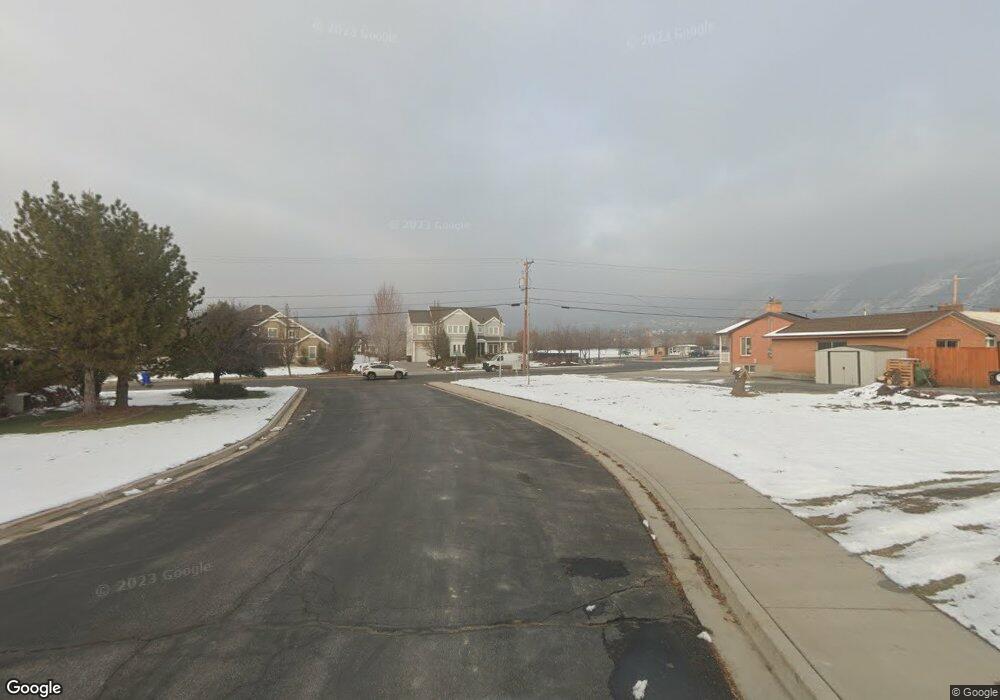
173 S 400 E Alpine, UT 84004
Estimated Value: $851,878 - $1,080,000
3
Beds
3
Baths
1,972
Sq Ft
$483/Sq Ft
Est. Value
About This Home
This home is located at 173 S 400 E, Alpine, UT 84004 and is currently estimated at $952,470, approximately $482 per square foot. 173 S 400 E is a home located in Utah County with nearby schools including Alpine School, Timberline Middle School, and Lone Peak High School.
Ownership History
Date
Name
Owned For
Owner Type
Purchase Details
Closed on
Mar 21, 2003
Sold by
Devey William H and Devey Elaine H
Bought by
Wallace Landon G and Wallace Jennie S
Current Estimated Value
Home Financials for this Owner
Home Financials are based on the most recent Mortgage that was taken out on this home.
Original Mortgage
$160,000
Outstanding Balance
$64,786
Interest Rate
5.82%
Mortgage Type
Construction
Estimated Equity
$887,684
Purchase Details
Closed on
Dec 10, 2002
Sold by
Devey William H and Devey Elaine H
Bought by
Devey William H and Devey Elaine H
Create a Home Valuation Report for This Property
The Home Valuation Report is an in-depth analysis detailing your home's value as well as a comparison with similar homes in the area
Home Values in the Area
Average Home Value in this Area
Purchase History
| Date | Buyer | Sale Price | Title Company |
|---|---|---|---|
| Wallace Landon G | -- | Timp Title Insurance Agency | |
| Devey William H | -- | -- |
Source: Public Records
Mortgage History
| Date | Status | Borrower | Loan Amount |
|---|---|---|---|
| Open | Wallace Landon G | $160,000 |
Source: Public Records
Tax History
| Year | Tax Paid | Tax Assessment Tax Assessment Total Assessment is a certain percentage of the fair market value that is determined by local assessors to be the total taxable value of land and additions on the property. | Land | Improvement |
|---|---|---|---|---|
| 2025 | $3,501 | $411,730 | -- | -- |
| 2024 | $3,501 | $407,990 | $0 | $0 |
| 2023 | $3,375 | $422,345 | $0 | $0 |
| 2022 | $3,262 | $396,385 | $0 | $0 |
| 2021 | $2,721 | $513,700 | $189,200 | $324,500 |
| 2020 | $2,563 | $473,500 | $164,500 | $309,000 |
| 2019 | $2,418 | $466,400 | $164,500 | $301,900 |
| 2018 | $2,315 | $441,200 | $158,000 | $283,200 |
| 2017 | $2,188 | $221,870 | $0 | $0 |
| 2016 | $2,099 | $198,385 | $0 | $0 |
| 2015 | $2,117 | $189,310 | $0 | $0 |
| 2014 | $1,821 | $161,095 | $0 | $0 |
Source: Public Records
Map
Nearby Homes
- 48 N 100 E
- 202 E Alpine Dr
- 30 S Main St
- 887 E Village Way
- 499 E 300 N
- 250 S Main St Unit 25
- 250 S Main St Unit 9
- 250 S Main St Unit 7
- 596 S Cascade Ct
- 1063 E Alpine Dr
- 475 Grove Dr
- 259 Twin River Loop
- 1103 E Lone Peak Dr
- 151 Glacier Lily Dr
- 248 Deerfield Dr
- 875 S Blue Ridge Ln
- 1201 E Preston Dr
- 366 River Rd
- 682 Healey Blvd
- 1296 Oakwood Cir
- 185 S 400 E
- 439 River Meadow Dr
- 447 River Meadow Dr
- 427 River Meadow Dr
- 182 S 400 E
- 403 River Meadow Dr
- 422 E 100 S
- 459 River Meadow Dr
- 436 E 100 S
- 375 River Meadow Dr
- 384 E 100 S
- 477 River Meadow Dr
- 273 River Meadow Dr Unit 37
- 464 River Meadow Dr
- 468 E 100 S
- 432 River Meadow Dr
- 347 River Meadow Dr
- 493 River Meadow Dr
- 378 River Meadow Dr
- 480 E 100 S
Your Personal Tour Guide
Ask me questions while you tour the home.