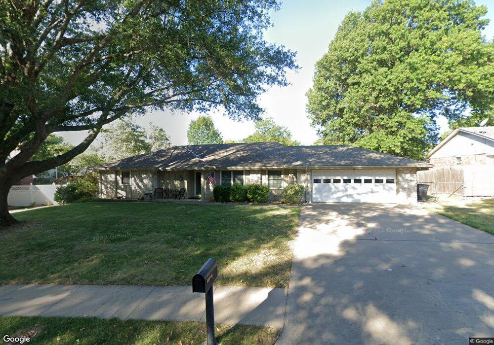
1733 Harned Dr Bartlesville, OK 74006
Estimated Value: $211,982 - $222,000
3
Beds
2
Baths
1,887
Sq Ft
$116/Sq Ft
Est. Value
About This Home
This home is located at 1733 Harned Dr, Bartlesville, OK 74006 and is currently estimated at $217,996, approximately $115 per square foot. 1733 Harned Dr is a home located in Washington County with nearby schools including Ranch Heights Elementary School, Madison Middle School, and Bartlesville High School.
Ownership History
Date
Name
Owned For
Owner Type
Purchase Details
Closed on
Dec 30, 2025
Sold by
Collette Daniel A and Collette Shelley A
Bought by
Daniel A Collette & Shelley A Collette Joint and Collette
Current Estimated Value
Purchase Details
Closed on
Mar 31, 2017
Sold by
Losher Evelyn and Losher Evelyn R
Bought by
Collette Daniel A and Collette Shelley A
Purchase Details
Closed on
Jun 24, 2016
Sold by
Losher Kelley Eugene
Bought by
Losher Evelyn
Purchase Details
Closed on
Jun 16, 2016
Sold by
Losher William Kirkpatrick and Losher Kelly K
Bought by
Losher Evelyn
Purchase Details
Closed on
Apr 19, 2004
Sold by
Losher Robert E and Losher Evelyn R
Bought by
Losher Robert E and Losher Evelyn R
Purchase Details
Closed on
Sep 28, 2001
Sold by
Simon Timothy J and Simon Kathy F
Create a Home Valuation Report for This Property
The Home Valuation Report is an in-depth analysis detailing your home's value as well as a comparison with similar homes in the area
Home Values in the Area
Average Home Value in this Area
Purchase History
| Date | Buyer | Sale Price | Title Company |
|---|---|---|---|
| Daniel A Collette & Shelley A Collette Joint | -- | None Listed On Document | |
| Collette Daniel A | $122,000 | None Available | |
| Losher Evelyn | -- | None Available | |
| Losher Evelyn | -- | None Available | |
| Losher Evelyn | -- | None Available | |
| Losher Robert E | $106,000 | -- | |
| -- | $79,000 | -- |
Source: Public Records
Tax History
| Year | Tax Paid | Tax Assessment Tax Assessment Total Assessment is a certain percentage of the fair market value that is determined by local assessors to be the total taxable value of land and additions on the property. | Land | Improvement |
|---|---|---|---|---|
| 2025 | $2,068 | $17,223 | $2,160 | $15,063 |
| 2024 | $2,005 | $16,402 | $2,060 | $14,342 |
| 2023 | $1,970 | $15,622 | $1,999 | $13,623 |
| 2022 | $1,782 | $14,877 | $1,940 | $12,937 |
| 2021 | $1,747 | $14,877 | $1,940 | $12,937 |
| 2020 | $1,786 | $14,877 | $1,940 | $12,937 |
| 2019 | $1,787 | $14,877 | $1,940 | $12,937 |
| 2018 | $1,773 | $14,830 | $1,940 | $12,890 |
| 2017 | $1,434 | $12,720 | $1,514 | $11,206 |
| 2016 | $1,346 | $12,720 | $1,514 | $11,206 |
| 2015 | $1,366 | $12,720 | $1,514 | $11,206 |
| 2014 | $1,362 | $12,720 | $1,514 | $11,206 |
Source: Public Records
Map
Nearby Homes
- 1776 Harned Dr
- 1616 Harned Dr
- 1811 Putnam Dr
- 1810 Harned Dr
- 5269 Nowata Rd Unit O102
- 5217 Nowata Rd Unit 203C
- 5229 Nowata Rd Unit F101
- 5209 Nowata Rd Unit B201
- 5209 Nowata Rd Unit B203
- 1516 Harris Dr
- 1904 Barnett Place
- 1801 Rolling Hills Place
- 1869 Putnam Dr
- 1512 Lariat Dr
- 5312 Richmond Dr
- 4932 Fairview Rd
- 1916 Barnett Place
- 1500 Harris Dr
- 1909 Richmond Dr
- 5301 Barnett Ave
- 1725 Harned Dr
- 1741 Harned Dr
- 1717 Harned Dr
- 1749 Harned Dr
- 1742 Harned Dr
- 4701 Harned Place
- 1709 Harned Dr
- 4622 SE Barlow Dr
- 4702 Harned Ct
- 1757 Harned Dr
- 4628 SE Barlow Dr
- 4707 Harned Place
- 4616 SE Barlow Dr
- 4710 Harned Ct
- 4634 SE Barlow Dr
- 1701 Harned Dr
- 4610 SE Barlow Dr
- 1765 Harned Dr
- 4715 Harned Place
- 1702 Harned Dr
Your Personal Tour Guide
Ask me questions while you tour the home.