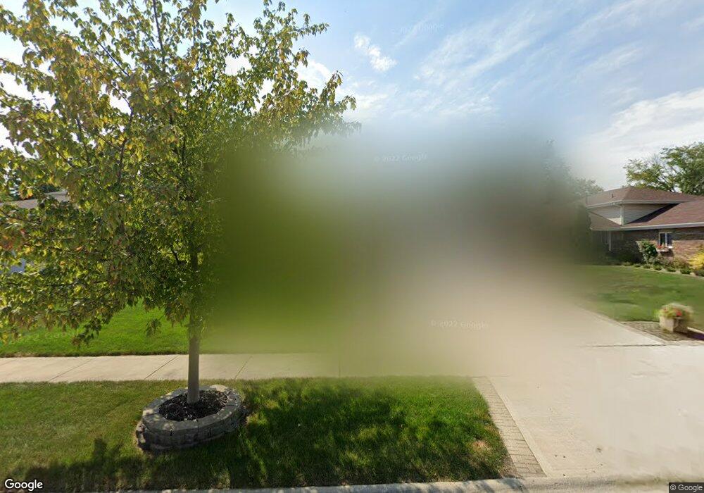
17348 Arrowhead Trace Oak Forest, IL 60452
Estimated Value: $357,000 - $397,000
3
Beds
3
Baths
1,394
Sq Ft
$270/Sq Ft
Est. Value
About This Home
This home is located at 17348 Arrowhead Trace, Oak Forest, IL 60452 and is currently estimated at $376,088, approximately $269 per square foot. 17348 Arrowhead Trace is a home located in Cook County with nearby schools including Kimberly Heights Elementary School, Scarlet Oak Elementary School, and Arbor Park Middle School.
Ownership History
Date
Name
Owned For
Owner Type
Purchase Details
Closed on
Jul 16, 2003
Sold by
Harbinson Paul and Harbinson Cheryl
Bought by
Garvey Daniel and Garvey Marshal
Current Estimated Value
Home Financials for this Owner
Home Financials are based on the most recent Mortgage that was taken out on this home.
Original Mortgage
$237,000
Interest Rate
6.44%
Mortgage Type
Unknown
Purchase Details
Closed on
Nov 14, 1997
Sold by
Kearney Builders Inc
Bought by
Harbinson Paul J and Harbinson Cheryl J
Home Financials for this Owner
Home Financials are based on the most recent Mortgage that was taken out on this home.
Original Mortgage
$130,450
Interest Rate
7.43%
Purchase Details
Closed on
Aug 26, 1997
Sold by
Mcgregor William and Mcgregor Mary
Bought by
Kearney Builders Inc
Create a Home Valuation Report for This Property
The Home Valuation Report is an in-depth analysis detailing your home's value as well as a comparison with similar homes in the area
Home Values in the Area
Average Home Value in this Area
Purchase History
| Date | Buyer | Sale Price | Title Company |
|---|---|---|---|
| Garvey Daniel | $250,000 | Ticor Title Insurance | |
| Harbinson Paul J | $109,000 | -- | |
| Kearney Builders Inc | $29,333 | Chicago Title Insurance Co |
Source: Public Records
Mortgage History
| Date | Status | Borrower | Loan Amount |
|---|---|---|---|
| Previous Owner | Garvey Daniel | $237,000 | |
| Previous Owner | Harbinson Paul J | $130,450 |
Source: Public Records
Tax History
| Year | Tax Paid | Tax Assessment Tax Assessment Total Assessment is a certain percentage of the fair market value that is determined by local assessors to be the total taxable value of land and additions on the property. | Land | Improvement |
|---|---|---|---|---|
| 2025 | $9,651 | $27,210 | $5,655 | $21,555 |
| 2024 | $9,651 | $27,210 | $5,655 | $21,555 |
| 2023 | $5,990 | $30,000 | $5,655 | $24,345 |
| 2022 | $5,990 | $16,281 | $5,003 | $11,278 |
| 2021 | $5,883 | $16,279 | $5,002 | $11,277 |
| 2020 | $6,622 | $18,219 | $5,002 | $13,217 |
| 2019 | $7,735 | $20,668 | $4,567 | $16,101 |
| 2018 | $7,562 | $20,668 | $4,567 | $16,101 |
| 2017 | $8,859 | $23,656 | $4,567 | $19,089 |
| 2016 | $6,558 | $16,949 | $3,915 | $13,034 |
| 2015 | $7,378 | $19,360 | $3,915 | $15,445 |
| 2014 | $7,219 | $19,360 | $3,915 | $15,445 |
| 2013 | $6,867 | $20,559 | $3,915 | $16,644 |
Source: Public Records
Map
Nearby Homes
- 5125 171st St
- 5048 171st St
- 5320 175th St
- 5319 Martha Ln
- 17027 Judy Ct
- 5524 Christopher Dr
- 16908 Laramie Ave
- 4847 175th St
- 5426 Bonnie Trail
- 5345 Forest Trail
- 16909 W Thackeray Lot #8 St
- 16938 Cicero Ave
- 16861 Thackery Ave
- 17140 Central Ave
- 17900 Poplar Ln
- 16740 Forest Ave
- 5166 Aldersyde Rd
- 4657 176th Place
- 4624 177th St
- 17526 Mulberry St
- 17342 Arrowhead Trace
- 17354 Arrowhead Trace
- 17336 Arrowhead Trace
- 17380 Brennan Hwy
- 17330 Arrowhead Trace
- 17343 Arrowhead Trace
- 17337 Arrowhead Trace
- 17349 Arrowhead Trace
- 17331 Arrowhead Trace
- 17324 Arrowhead Trace
- 17325 Arrowhead Trace
- 17318 Arrowhead Trace
- 17390 Brennan Hwy
- 17319 Arrowhead Trace
- 17313 Arrowhead Trace
- 17312 Arrowhead Trace
- 17330 Brennan Hwy
- 17333 Brennan Hwy
- 17303 Brennan Hwy
- 17307 Arrowhead Trace
Your Personal Tour Guide
Ask me questions while you tour the home.