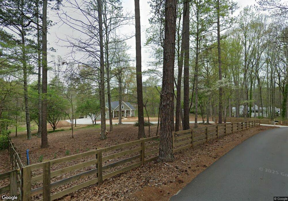
174 Mcgarity Rd Canton, GA 30115
Union Hill NeighborhoodEstimated Value: $809,000 - $1,360,029
4
Beds
1
Bath
1,954
Sq Ft
$534/Sq Ft
Est. Value
About This Home
This home is located at 174 Mcgarity Rd, Canton, GA 30115 and is currently estimated at $1,042,507, approximately $533 per square foot. 174 Mcgarity Rd is a home located in Cherokee County with nearby schools including Avery Elementary School, Creekland Middle School, and Creekview High School.
Ownership History
Date
Name
Owned For
Owner Type
Purchase Details
Closed on
May 10, 2021
Sold by
Glover Michael C
Bought by
Limerick Dan and Limerick Wendy
Current Estimated Value
Purchase Details
Closed on
Dec 19, 2006
Sold by
Fox Carlton L
Bought by
Fox Carlton L and Fox Pansy R
Create a Home Valuation Report for This Property
The Home Valuation Report is an in-depth analysis detailing your home's value as well as a comparison with similar homes in the area
Home Values in the Area
Average Home Value in this Area
Purchase History
| Date | Buyer | Sale Price | Title Company |
|---|---|---|---|
| Limerick Dan | $500,000 | -- | |
| Fox Carlton L | -- | -- |
Source: Public Records
Tax History
| Year | Tax Paid | Tax Assessment Tax Assessment Total Assessment is a certain percentage of the fair market value that is determined by local assessors to be the total taxable value of land and additions on the property. | Land | Improvement |
|---|---|---|---|---|
| 2025 | $3,207 | $496,200 | $90,960 | $405,240 |
| 2024 | $4,332 | $308,040 | $81,240 | $226,800 |
| 2023 | $7,739 | $297,800 | $67,680 | $230,120 |
| 2022 | $5,257 | $200,000 | $61,896 | $138,104 |
| 2021 | $4,975 | $175,240 | $59,560 | $115,680 |
| 2020 | $4,469 | $157,280 | $54,160 | $103,120 |
| 2019 | $4,340 | $152,720 | $54,160 | $98,560 |
| 2018 | $1,280 | $147,080 | $54,160 | $92,920 |
| 2017 | $3,959 | $370,900 | $54,160 | $94,200 |
| 2016 | $3,959 | $340,000 | $51,800 | $84,200 |
| 2015 | $3,163 | $269,000 | $51,800 | $55,800 |
| 2014 | $2,892 | $245,400 | $43,560 | $54,600 |
Source: Public Records
Map
Nearby Homes
- 10270 Cedar Ridge Dr
- 4.5 AC Hickory Flat Rd
- 113 Hickory Flat Rd
- 10310 Magnolia Meadow Ct
- 40 Crowe Rd
- 10210 Cedar Ridge Dr
- 855 Rivendell Ln
- 10190 Cedar Ridge Dr
- 1585 Roper Rd
- 615 Hickory Flat Rd
- 309 Sourwood Ln
- 10155 Cedar Ridge Dr
- 1251 Old Jones Rd
- 791 Rivendell Ln
- 812 Sycamore Dr
- 383 Liberty Grove Rd
- 511 Dogwood Lake Trail
- 307 Timberview Trail
- 310 Timberview Trail
- 1057 Crossroads Trail
- 150 Mcgarity Rd
- 180 Mcgarity Rd
- 250 Antioch Rd
- 186 Antioch Rd
- 195 Antioch Rd
- 291 Antioch Rd
- 249 Antioch Rd
- 0000 A J Land Rd
- 000 A J Land Rd
- 0 A J Land Rd
- 101 Antioch Place
- 263 Mcgarity Rd
- 630 A J Land Rd
- 121 Antioch Place
- 120 Antioch Place
- 301 Mcgarity Rd
- 0 Clarity Rd Unit 7136281
- 0 Clarity Rd Unit 7136279
- 598 Antioch Rd
- 217 Antioch Rd
Your Personal Tour Guide
Ask me questions while you tour the home.