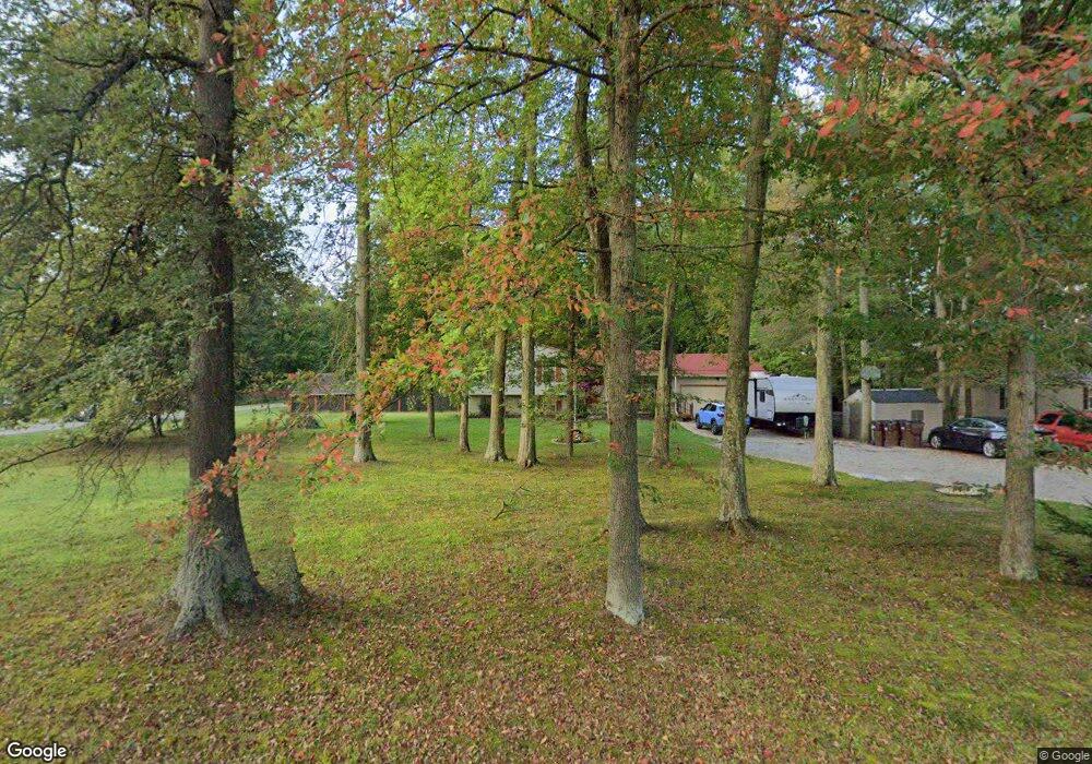
1740 Maple Grove Rd Mount Orab, OH 45154
Estimated Value: $231,000 - $319,000
3
Beds
2
Baths
1,772
Sq Ft
$154/Sq Ft
Est. Value
About This Home
This home is located at 1740 Maple Grove Rd, Mount Orab, OH 45154 and is currently estimated at $272,877, approximately $153 per square foot. 1740 Maple Grove Rd is a home located in Brown County with nearby schools including Western Brown High School.
Ownership History
Date
Name
Owned For
Owner Type
Purchase Details
Closed on
Jul 6, 1998
Sold by
Maple Grove Dev Corp
Bought by
Parker Michael W and Parker Ginger L
Current Estimated Value
Home Financials for this Owner
Home Financials are based on the most recent Mortgage that was taken out on this home.
Original Mortgage
$92,500
Outstanding Balance
$15,580
Interest Rate
7.18%
Mortgage Type
New Conventional
Estimated Equity
$257,297
Create a Home Valuation Report for This Property
The Home Valuation Report is an in-depth analysis detailing your home's value as well as a comparison with similar homes in the area
Purchase History
| Date | Buyer | Sale Price | Title Company |
|---|---|---|---|
| Parker Michael W | $22,000 | -- |
Source: Public Records
Mortgage History
| Date | Status | Borrower | Loan Amount |
|---|---|---|---|
| Open | Parker Michael W | $92,500 |
Source: Public Records
Tax History
| Year | Tax Paid | Tax Assessment Tax Assessment Total Assessment is a certain percentage of the fair market value that is determined by local assessors to be the total taxable value of land and additions on the property. | Land | Improvement |
|---|---|---|---|---|
| 2025 | $2,063 | $70,080 | $9,550 | $60,530 |
| 2024 | $2,063 | $70,080 | $9,550 | $60,530 |
| 2023 | $2,029 | $54,240 | $6,930 | $47,310 |
| 2022 | $1,618 | $54,240 | $6,930 | $47,310 |
| 2021 | $1,600 | $54,240 | $6,930 | $47,310 |
| 2020 | $1,345 | $44,040 | $4,620 | $39,420 |
| 2019 | $1,447 | $44,040 | $4,620 | $39,420 |
| 2018 | $1,436 | $44,040 | $4,620 | $39,420 |
| 2017 | $1,247 | $37,850 | $5,780 | $32,070 |
| 2016 | $1,247 | $37,850 | $5,780 | $32,070 |
| 2015 | $1,239 | $37,850 | $5,780 | $32,070 |
| 2014 | $1,239 | $37,320 | $5,250 | $32,070 |
| 2013 | $1,236 | $37,320 | $5,250 | $32,070 |
Source: Public Records
Map
Nearby Homes
- 1738 Commissioners Way
- 1945 Amiott Ln
- 1921 Amiott Ln
- 2079 Old State Rd
- 0 Kress Rd Unit 1872535
- 3877 Todds Run Foster Rd
- 1471 Kress Rd
- 159 Zachary Dr
- 116 Kelly Dr
- 133 Kelly Dr
- 117 Kelly Dr
- 125 Kelly Dr
- 102 Kayleigh Dr
- 109 Zachary Dr
- 120 Cornerstone Dr
- 111 Cornerstone Dr
- 107 Longwood Blvd
- 4137 Township Hageman Crossing Rd
- 114 Cornerstone Dr
- 15280 Karampas Ln
- 1756 Maple Grove Rd
- 1731 Maple Grove Rd
- 1714 Maple Grove Rd
- 1741 Maple Grove Rd
- 1770 Maple Grove Rd
- 1779 Maple Grove Rd
- 1752 Maple Grove Rd
- 1788 Maple Grove Rd
- 13872 New Harmony Salem Rd
- 13862 New Harmony Salem Rd
- 13798 New Harmony Salem Rd
- 13848 New Harmony Salem Rd
- 0 Maple Grove Rd Unit 1329887
- 13892 New Harmony Salem Rd
- 1798 Maple Grove Rd
- 13834 New Harmony Salem Rd
- 1801 Maple Grove Rd
- 1814 Maple Grove Rd
- 1699 Maple Grove Rd
- 3.33ac Maple Grove Rd
Your Personal Tour Guide
Ask me questions while you tour the home.