Estimated Value: $272,000 - $374,000
3
Beds
--
Bath
1,376
Sq Ft
$226/Sq Ft
Est. Value
About This Home
This home is located at 17445 State Highway Ff, Ava, MO 65608 and is currently estimated at $310,599, approximately $225 per square foot. 17445 State Highway Ff is a home with nearby schools including Ava Elementary School, Ava Middle School, and Ava High School.
Ownership History
Date
Name
Owned For
Owner Type
Purchase Details
Closed on
Aug 24, 2021
Sold by
Linder Cecil D
Bought by
Linder Janette Lane
Current Estimated Value
Purchase Details
Closed on
Nov 16, 2020
Sold by
Fannen Charles D and Fannen Jennifer M
Bought by
Fannen Garrett
Home Financials for this Owner
Home Financials are based on the most recent Mortgage that was taken out on this home.
Original Mortgage
$57,500
Interest Rate
2.8%
Mortgage Type
Future Advance Clause Open End Mortgage
Purchase Details
Closed on
Dec 16, 2014
Sold by
Honeycutte Family Lp
Bought by
C & H Farm Properties Llc
Create a Home Valuation Report for This Property
The Home Valuation Report is an in-depth analysis detailing your home's value as well as a comparison with similar homes in the area
Purchase History
| Date | Buyer | Sale Price | Title Company |
|---|---|---|---|
| Linder Janette Lane | -- | None Listed On Document | |
| Fannen Garrett | -- | None Available | |
| C & H Farm Properties Llc | -- | None Available |
Source: Public Records
Mortgage History
| Date | Status | Borrower | Loan Amount |
|---|---|---|---|
| Previous Owner | Fannen Garrett | $57,500 |
Source: Public Records
Tax History
| Year | Tax Paid | Tax Assessment Tax Assessment Total Assessment is a certain percentage of the fair market value that is determined by local assessors to be the total taxable value of land and additions on the property. | Land | Improvement |
|---|---|---|---|---|
| 2025 | $589 | $18,640 | $3,980 | $14,660 |
| 2024 | $6 | $17,030 | $3,600 | $13,430 |
| 2023 | $587 | $17,030 | $3,600 | $13,430 |
| 2022 | $543 | $15,820 | $3,600 | $12,220 |
| 2021 | $509 | $15,820 | $3,600 | $12,220 |
| 2020 | $509 | $14,610 | $3,600 | $11,010 |
| 2019 | $510 | $14,610 | $3,600 | $11,010 |
| 2018 | $513 | $14,740 | $3,730 | $11,010 |
| 2017 | $513 | $14,740 | $3,730 | $11,010 |
| 2016 | $453 | $12,900 | $2,680 | $10,220 |
| 2012 | -- | $12,800 | $0 | $0 |
Source: Public Records
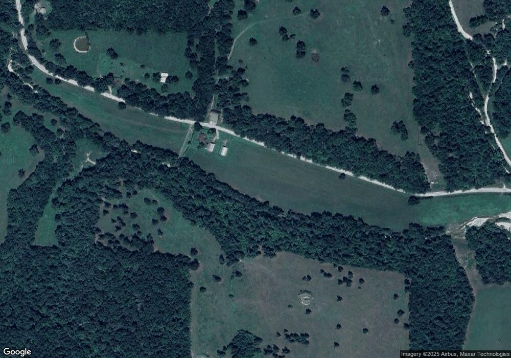
Map
Nearby Homes
- 000 E Hwy 14 Private Dr Unit F
- 0 E Highway 14 Private Dr Unit D
- 9052 Private Dr 3053
- 19429 Missouri 14
- 1514 State Highway Ff
- 14776 State Highway Ff
- 207 Teal St
- 607 Kottmeier St
- 1302 Valley Ave
- 000 Lot 1 County Road 306-B
- 000 Lot 2 County Road 306
- 11785 Co Rd Unit 76-211
- 815 E Benton Ave
- 402 Ward St
- 15576 E State Highway 76
- 10232 County Road 211-East 76
- 612 E Benton Ave
- 604 Marvin Ave
- 106 S Mansfield Rd
- 509 S Mansfield Rd
Your Personal Tour Guide
Ask me questions while you tour the home.