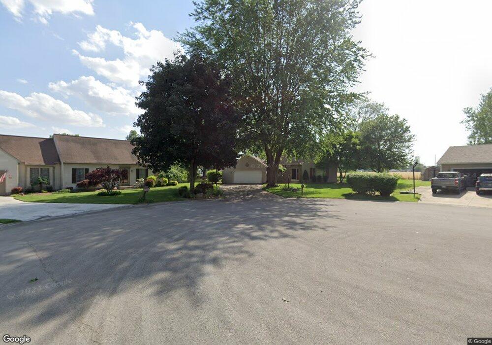
1748 Tomahawk Trace Fremont, OH 43420
Estimated Value: $342,000 - $400,000
About This Home
This home is located at 1748 Tomahawk Trace, Fremont, OH 43420 and is currently estimated at $365,384, approximately $137 per square foot. 1748 Tomahawk Trace is a home located in Sandusky County with nearby schools including Fremont Ross High School, Bishop Hoffman Catholic School - This is St Joe's School now, and St. Joseph School.
Ownership History
We collect this data history from publicly available records. To have your information removed, we recommend requesting removal directly through your county’s website.
Purchase Details
Home Financials for this Owner
Home Financials are based on the most recent Mortgage that was taken out on this home.Purchase Details
Home Financials for this Owner
Home Financials are based on the most recent Mortgage that was taken out on this home.Purchase Details
Home Financials for this Owner
Home Financials are based on the most recent Mortgage that was taken out on this home.Purchase Details
Purchase Details
Home Values in the Area
Average Home Value in this Area
Purchase History
We collect this data history from publicly available records. To have your information removed, we recommend requesting removal directly through your county’s website.
| Date | Buyer | Sale Price | Title Company |
|---|---|---|---|
| $195,000 | First American | ||
| $152,250 | -- | ||
| $141,000 | Northwest Title Agency Of Oh | ||
| $146,000 | -- | ||
| $20,000 | -- |
Mortgage History
We collect this data history from publicly available records. To have your information removed, we recommend requesting removal directly through your county’s website.
| Date | Status | Borrower | Loan Amount |
|---|---|---|---|
| Open | $156,000 | ||
| Previous Owner | $172,550 | ||
| Previous Owner | $37,600 | ||
| Previous Owner | $150,400 |
Tax History
We collect this data history from publicly available records. To have your information removed, we recommend requesting removal directly through your county’s website.
| Year | Tax Paid | Tax Assessment Tax Assessment Total Assessment is a certain percentage of the fair market value that is determined by local assessors to be the total taxable value of land and additions on the property. | Land | Improvement |
|---|---|---|---|---|
| 2025 | $3,799 | $101,370 | $14,600 | $86,770 |
| 2024 | $3,799 | $101,370 | $14,600 | $86,770 |
| 2023 | $3,958 | $76,090 | $11,060 | $65,030 |
| 2022 | $3,176 | $76,090 | $11,060 | $65,030 |
| 2021 | $3,272 | $76,090 | $11,060 | $65,030 |
| 2020 | $2,901 | $66,400 | $11,060 | $55,340 |
| 2019 | $2,900 | $66,400 | $11,060 | $55,340 |
| 2018 | $2,821 | $66,400 | $11,060 | $55,340 |
| 2017 | $2,556 | $59,850 | $11,060 | $48,790 |
| 2016 | $2,231 | $59,330 | $11,060 | $48,270 |
| 2015 | $2,185 | $59,330 | $11,060 | $48,270 |
| 2014 | $2,318 | $60,310 | $11,100 | $49,210 |
| 2013 | $2,269 | $60,310 | $11,100 | $49,210 |
Map
- 129 Wisteria Dr
- 716 South Dr
- 21 Brookview Dr Unit 21
- 1970 Morrison Rd
- 1040 Cleveland Ave
- 1719 Buckland Ave
- 827 Upton Rd
- 54 Glendale Ave
- 325 Stahl Rd
- 1938 Glen Springs Dr
- 148 Springbrook Dr
- 2467 Rice Rd
- 27 Ridge Dr
- 1250 Morrison Rd
- 907 Tiffin St Unit 5
- 723 Tucker Rd
- 33 Southland Way
- 908 South St
- 748 S Front St
- 535 S Wood St
- 1753 Tomahawk Trace
- 1744 Tomahawk Trace
- 1538 W Cole Rd
- 1530 W Cole Rd
- 1600 W Cole Rd
- 1749 Tomahawk Trace
- 1520 W Cole Rd
- 1745 Tomahawk Trace
- 1614 W Cole Rd
- 1514 W Cole Rd
- 1714 Tomahawk Trace
- 1731 Tomahawk Trace
- 1541 W Cole Rd
- 1732 Arrowhead Dr
- 1533 W Cole Rd
- 1715 Tomahawk Trace
- 1718 Arrowhead Dr
- 1609 W Cole Rd
- 1508 W Cole Rd
- 1620 W Cole Rd
Ask me questions while you tour the home.