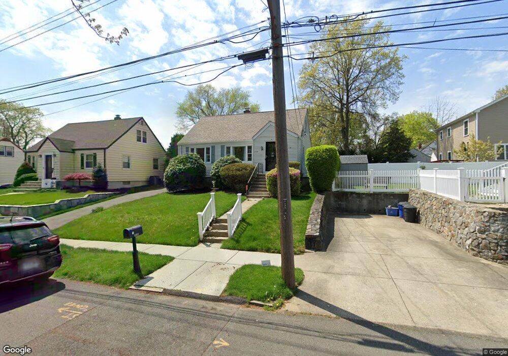
175 Abram St Stratford, CT 06614
Estimated Value: $345,000 - $460,000
3
Beds
1
Bath
1,371
Sq Ft
$308/Sq Ft
Est. Value
About This Home
This home is located at 175 Abram St, Stratford, CT 06614 and is currently estimated at $421,965, approximately $307 per square foot. 175 Abram St is a home located in Fairfield County with nearby schools including Nichols Elementary School, David Wooster Middle School, and Stratford High School.
Ownership History
Date
Name
Owned For
Owner Type
Purchase Details
Closed on
Nov 15, 2005
Sold by
Mastroluca Frank and Mastroluca Julianne
Bought by
Gerrity Edna
Current Estimated Value
Home Financials for this Owner
Home Financials are based on the most recent Mortgage that was taken out on this home.
Original Mortgage
$240,000
Outstanding Balance
$130,615
Interest Rate
5.93%
Estimated Equity
$291,350
Purchase Details
Closed on
Oct 24, 1988
Sold by
Belushi Joseph
Bought by
Mastroluca Frank
Create a Home Valuation Report for This Property
The Home Valuation Report is an in-depth analysis detailing your home's value as well as a comparison with similar homes in the area
Home Values in the Area
Average Home Value in this Area
Purchase History
| Date | Buyer | Sale Price | Title Company |
|---|---|---|---|
| Gerrity Edna | $300,000 | -- | |
| Mastroluca Frank | $163,000 | -- |
Source: Public Records
Mortgage History
| Date | Status | Borrower | Loan Amount |
|---|---|---|---|
| Open | Mastroluca Frank | $59,699 | |
| Open | Mastroluca Frank | $240,000 | |
| Previous Owner | Mastroluca Frank | $114,000 | |
| Previous Owner | Mastroluca Frank | $127,000 |
Source: Public Records
Tax History
| Year | Tax Paid | Tax Assessment Tax Assessment Total Assessment is a certain percentage of the fair market value that is determined by local assessors to be the total taxable value of land and additions on the property. | Land | Improvement |
|---|---|---|---|---|
| 2025 | $5,445 | $135,450 | $71,470 | $63,980 |
| 2024 | $5,445 | $135,450 | $71,470 | $63,980 |
| 2023 | $5,445 | $135,450 | $71,470 | $63,980 |
| 2022 | $5,345 | $135,450 | $71,470 | $63,980 |
| 2021 | $5,346 | $135,450 | $71,470 | $63,980 |
| 2020 | $5,369 | $135,450 | $71,470 | $63,980 |
| 2019 | $6,009 | $150,710 | $76,510 | $74,200 |
| 2018 | $5,971 | $149,660 | $76,510 | $73,150 |
| 2017 | $5,982 | $149,660 | $76,510 | $73,150 |
| 2016 | $5,835 | $149,660 | $76,510 | $73,150 |
| 2015 | $5,534 | $149,660 | $76,510 | $73,150 |
| 2014 | $5,507 | $154,560 | $74,900 | $79,660 |
Source: Public Records
Map
Nearby Homes
- 270 Andrew St
- 58 Auburn St
- 56 Stonybrook Rd
- 484 Reitter St W
- 2672 Broadbridge Ave
- 103 Albert Ave
- 1285 Success Ave
- 2803 Broadbridge Ave
- 22 Sikorsky Place
- 545 Barnum Terrace Extension
- 1121 Success Ave
- 130 Greenfield Ave
- 390 Albert Ave
- 235 Henry Ave Unit 12G
- 115 Spring St
- 72 Broadmere Rd
- 117 Canaan Ct Unit Bld 81, 18
- 39 Woodcrest Ave
- 127 Canaan Ct Unit 13 Building 82
- 127 Canaan Bldg 82 Ct Unit 28
- 295 Reitter St
- 307 Reitter St
- 155 Abram St
- 2454 Broadbridge Ave
- 170 Abram St
- 2440 Broadbridge Ave
- 2450 Broadbridge Ave
- 160 Abram St
- 327 Reitter St
- 2430 Broadbridge Ave
- 135 Abram St
- 2420 Broadbridge Ave
- 300 Reitter St
- 150 Abram St
- 306 Reitter St
- 257 Reitter St
- 326 Reitter St
- 2410 Broadbridge Ave
- 226 Abram St
- 140 Abram St
Your Personal Tour Guide
Ask me questions while you tour the home.