175 Linebrook Rd Ipswich, MA 01938
Estimated Value: $872,000 - $965,000
About This Home
This home is located at 175 Linebrook Rd, Ipswich, MA 01938 and is currently estimated at $902,921, approximately $434 per square foot. 175 Linebrook Rd is a home located in Essex County with nearby schools including Ipswich High School, North Shore Montessori School, and Clark School.
Ownership History
We collect this data history from publicly available records. To have your information removed, we recommend requesting removal directly through your county’s website.
Purchase Details
Purchase Details
Home Values in the Area
Average Home Value in this Area
Purchase History
We collect this data history from publicly available records. To have your information removed, we recommend requesting removal directly through your county’s website.
| Date | Buyer | Sale Price | Title Company |
|---|---|---|---|
| $469,000 | -- | ||
| $324,000 | -- |
Mortgage History
We collect this data history from publicly available records. To have your information removed, we recommend requesting removal directly through your county’s website.
| Date | Status | Borrower | Loan Amount |
|---|---|---|---|
| Open | $373,300 | ||
| Closed | $385,000 | ||
| Closed | $50,000 |
Tax History
We collect this data history from publicly available records. To have your information removed, we recommend requesting removal directly through your county’s website.
| Year | Tax Paid | Tax Assessment Tax Assessment Total Assessment is a certain percentage of the fair market value that is determined by local assessors to be the total taxable value of land and additions on the property. | Land | Improvement |
|---|---|---|---|---|
| 2025 | $8,678 | $778,300 | $364,700 | $413,600 |
| 2024 | $8,111 | $712,700 | $365,900 | $346,800 |
| 2023 | $7,531 | $615,800 | $313,600 | $302,200 |
| 2022 | $7,295 | $567,300 | $296,200 | $271,100 |
| 2021 | $7,184 | $543,400 | $291,800 | $251,600 |
| 2020 | $7,523 | $536,600 | $298,400 | $238,200 |
| 2019 | $7,235 | $513,500 | $285,300 | $228,200 |
| 2018 | $7,096 | $498,300 | $270,100 | $228,200 |
| 2017 | $6,769 | $477,000 | $257,000 | $220,000 |
| 2016 | $6,420 | $432,300 | $217,800 | $214,500 |
| 2015 | $5,647 | $418,000 | $213,400 | $204,600 |
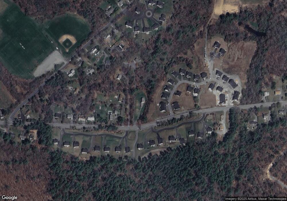
Map
- 72 Mile Ln
- 45 Pineswamp Rd
- 28 Pineswamp Rd
- 18 Southpoint Ln
- 16 Appleton Park Unit B3
- 60 Prospect St
- 83 High St Unit 4
- 13 Brown St
- 5 Dix Rd
- 28 Fairview Ave
- 11 Mount Pleasant Ave
- 11 Washington St
- 11 Washington St Unit M
- 5 Heritage Way Unit 5
- 8 Heritage Way
- 6 Safford St Unit 2
- 125 Topsfield Rd
- 1 Ready Marsh Way
- 9 Booth Ct Unit 9
- 9 Booth Ct
- 35 Dow Brook Cir Unit EUA 34
- 33 Dow Brook Cir Unit EUA 35
- 31 Dow Brook Cir Unit EUA 31
- 31 Dow Brook Cir Unit 36
- 181 Linebrook Rd
- 48 Dow Brook Cir Unit EUA 48
- 29 Dow Brook Cir Unit EUA 37
- 29 Dow Brook Cir Unit EAU 37
- 18 Dow Brook Cir Unit EUA 25
- 16 Dow Brook Cir Unit EUA 26
- 14 Dow Brook Cir Unit EUA 27
- 177 Linebrook Rd
- 12 Sheppards Way
- 183 Linebrook Rd
- 2 Abraham's Way Unit Lot 8
- 14 Sheppards Way Unit 10
- 14 Sheppard's Way Unit 14
- 16 Sheppards Way Unit Lot 9
- 16 Sheppard's Way Unit 16
- 10 Sheppards Way
Ask me questions while you tour the home.