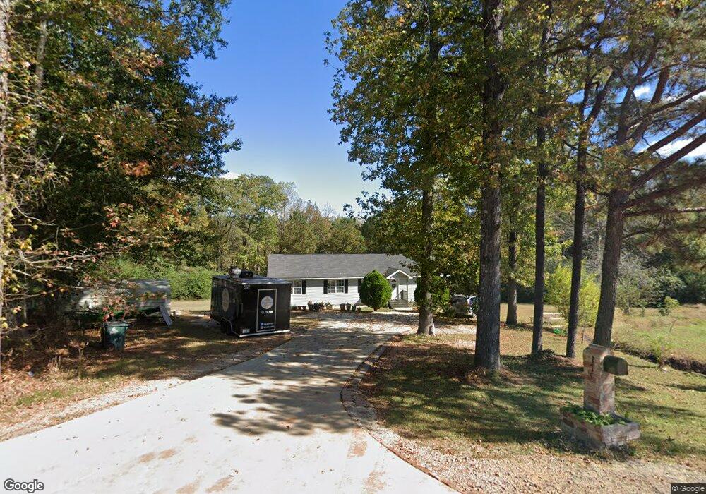
175 Overbrook Dr Lagrange, GA 30240
Estimated Value: $210,000 - $222,435
3
Beds
3
Baths
1,680
Sq Ft
$128/Sq Ft
Est. Value
About This Home
This home is located at 175 Overbrook Dr, Lagrange, GA 30240 and is currently estimated at $214,859, approximately $127 per square foot. 175 Overbrook Dr is a home located in Troup County with nearby schools including Berta Weathersbee Elementary School, Long Cane Elementary School, and Whitesville Road Elementary School.
Ownership History
Date
Name
Owned For
Owner Type
Purchase Details
Closed on
Feb 13, 2007
Sold by
Deal Winston R
Bought by
Neal Henry R
Current Estimated Value
Purchase Details
Closed on
Sep 18, 2001
Sold by
Troup Co Board Of Comm
Bought by
Dezayee Shuker B and Dezayee Razea S
Purchase Details
Closed on
May 5, 2000
Sold by
Habitat For Humanity
Bought by
Troup Co Board Of Comm
Purchase Details
Closed on
Jul 13, 1999
Sold by
Henry Neal
Bought by
Habitat For Humanity
Create a Home Valuation Report for This Property
The Home Valuation Report is an in-depth analysis detailing your home's value as well as a comparison with similar homes in the area
Purchase History
| Date | Buyer | Sale Price | Title Company |
|---|---|---|---|
| Neal Henry R | -- | -- | |
| Dezayee Shuker B | -- | -- | |
| Troup Co Board Of Comm | $90,000 | -- | |
| Habitat For Humanity | -- | -- |
Source: Public Records
Tax History
| Year | Tax Paid | Tax Assessment Tax Assessment Total Assessment is a certain percentage of the fair market value that is determined by local assessors to be the total taxable value of land and additions on the property. | Land | Improvement |
|---|---|---|---|---|
| 2025 | $1,172 | $77,628 | $10,000 | $67,628 |
| 2024 | $893 | $61,796 | $10,000 | $51,796 |
| 2023 | $392 | $61,324 | $10,000 | $51,324 |
| 2022 | $837 | $58,604 | $10,000 | $48,604 |
| 2021 | $1,388 | $47,996 | $10,000 | $37,996 |
| 2020 | $1,388 | $47,996 | $10,000 | $37,996 |
| 2019 | $1,121 | $39,144 | $3,760 | $35,384 |
| 2018 | $1,024 | $35,936 | $3,760 | $32,176 |
| 2017 | $1,024 | $35,936 | $3,760 | $32,176 |
| 2016 | $1,008 | $35,402 | $3,792 | $31,610 |
| 2015 | $1,010 | $35,402 | $3,792 | $31,610 |
| 2014 | $961 | $33,738 | $3,792 | $29,946 |
| 2013 | -- | $36,154 | $3,792 | $32,362 |
Source: Public Records
Map
Nearby Homes
- 53 Horace Carter Rd
- 8 Horace Carter Rd
- 0 Bradfield Dr Unit 10568803
- 427 Fling Rd
- 402 Ginger Cir
- 808 S Fling Rd
- 2239 Pegasus Pkwy
- 288 Bradfield Dr
- 245 Teaver Rd
- 3 Reed Dr
- 0 Unit 10514554
- 0 Glass Bridge Rd Unit 10679358
- 22 Freeman Rd
- 210 Pinehaven Dr
- 112 Foxdale Dr
- 98 Hearn Rd
- 3009 Old West Point Rd
- 112 Brookwood Dr
- 117 Brookwood Dr
- 105 Redwood Dr
- 185 Overbrook Dr
- 184 Overbrook Dr
- 155 Overbrook Dr
- 199 Overbrook Dr
- 29 Morton Dr
- 200 Overbrook Dr
- 209 Overbrook Dr
- 25 Horace Carter Rd
- 9 Horace Carter Rd
- 35 Horace Carter Rd
- 216 Overbrook Dr
- 12 Morton Dr
- 136 Morton Dr
- 239 Overbrook Dr
- 236 Overbrook Dr
- 22 Horace Carter Rd
- 36 Horace Carter Rd
- 129 Overbrook Dr
- 2610 West Point Rd
- 88 Overbrook Dr
Your Personal Tour Guide
Ask me questions while you tour the home.