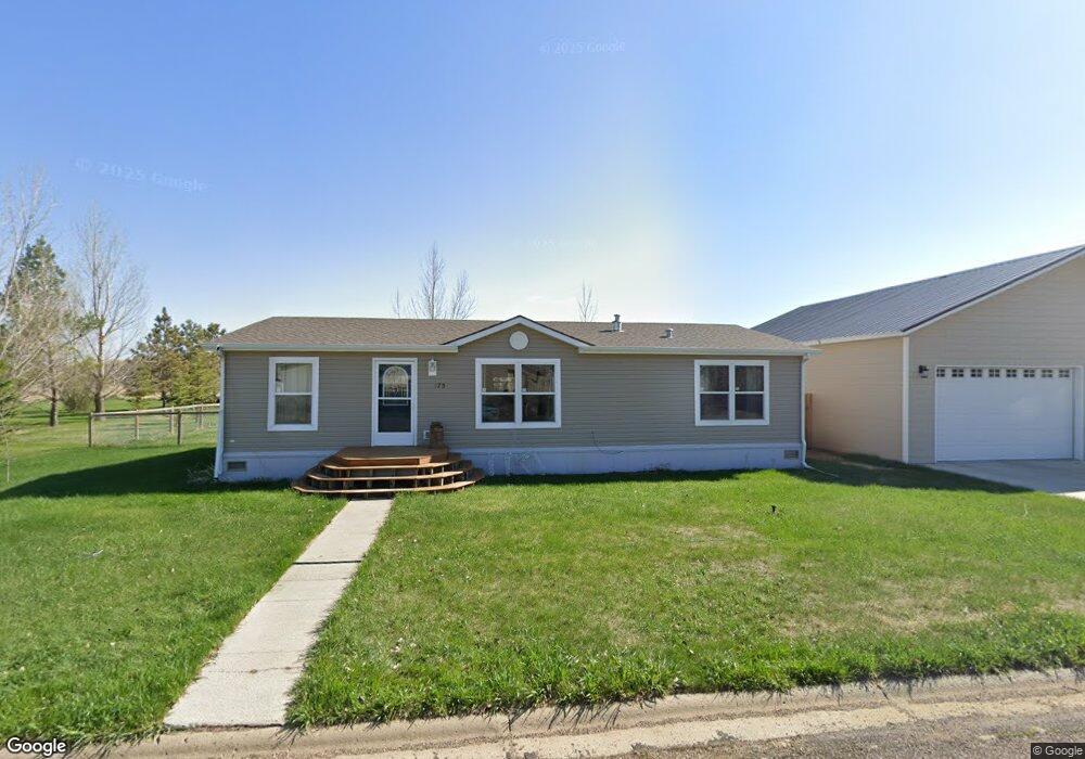
175 River St Gladstone, ND 58630
Estimated Value: $225,000 - $484,000
3
Beds
2
Baths
1,984
Sq Ft
$160/Sq Ft
Est. Value
About This Home
This home is located at 175 River St, Gladstone, ND 58630 and is currently estimated at $318,227, approximately $160 per square foot. 175 River St is a home.
Ownership History
Date
Name
Owned For
Owner Type
Purchase Details
Closed on
Mar 13, 2025
Sold by
Brost Marie J
Bought by
Praus Carey J
Current Estimated Value
Purchase Details
Closed on
Sep 1, 2015
Sold by
Reinbold Prairie A and Reinbold Paul A
Bought by
Reinbold Prairie R and Reinbold Paul A
Home Financials for this Owner
Home Financials are based on the most recent Mortgage that was taken out on this home.
Original Mortgage
$116,451
Interest Rate
4.04%
Mortgage Type
VA
Create a Home Valuation Report for This Property
The Home Valuation Report is an in-depth analysis detailing your home's value as well as a comparison with similar homes in the area
Purchase History
| Date | Buyer | Sale Price | Title Company |
|---|---|---|---|
| Praus Carey J | -- | None Listed On Document | |
| Reinbold Prairie R | -- | None Available |
Source: Public Records
Mortgage History
| Date | Status | Borrower | Loan Amount |
|---|---|---|---|
| Previous Owner | Reinbold Prairie R | $116,451 |
Source: Public Records
Tax History
| Year | Tax Paid | Tax Assessment Tax Assessment Total Assessment is a certain percentage of the fair market value that is determined by local assessors to be the total taxable value of land and additions on the property. | Land | Improvement |
|---|---|---|---|---|
| 2025 | $293 | $168,100 | $4,600 | $163,500 |
| 2024 | $1,304 | $157,400 | $4,600 | $152,800 |
| 2023 | $1,560 | $155,400 | $4,600 | $150,800 |
| 2022 | $1,574 | $155,400 | $4,600 | $150,800 |
| 2021 | $1,623 | $154,100 | $4,600 | $149,500 |
| 2020 | $1,683 | $158,900 | $4,600 | $154,300 |
| 2019 | $1,720 | $156,500 | $4,600 | $151,900 |
| 2018 | $1,712 | $165,300 | $4,600 | $160,700 |
| 2017 | $1,292 | $171,900 | $4,600 | $167,300 |
| 2015 | $1,292 | $136,700 | $4,600 | $132,100 |
| 2014 | $1,222 | $129,800 | $4,600 | $125,200 |
| 2013 | -- | $120,500 | $4,600 | $115,900 |
Source: Public Records
Map
Nearby Homes
- 0 High St
- 0 Cliff St
- 0 Main St
- 0 Block 1 Lot 1 Unit 24-775
- 0 36e St SW
- 9984 36b St SW
- 0 36b St SW
- 9977 36b St SW
- 0 Lot 1 102p Ave SW Unit 25-169
- 10336 Highway 10
- 0 Lot 9 102p Ave SW Unit 25-170
- 209 4th St W
- 0 Chestnut Ave
- 214 Ray Jay Cir
- 207 Ray Jay Cir
- 3251 104t Ave SW
- 0 Lot 2 Block 2 39th Ave E
- 0 Lot 3 Block 2 39th Ave E
- 2342 Acres Dr
- 0 35th Ave E
Your Personal Tour Guide
Ask me questions while you tour the home.