176 Aaron Rd West Monroe, LA 71292
Estimated Value: $170,000 - $332,898
4
Beds
4
Baths
4,317
Sq Ft
$64/Sq Ft
Est. Value
About This Home
This home is located at 176 Aaron Rd, West Monroe, LA 71292 and is currently estimated at $274,725, approximately $63 per square foot. 176 Aaron Rd is a home located in Ouachita Parish with nearby schools including Woodlawn Elementary School, Woodlawn Middle School, and West Ouachita High School.
Ownership History
Date
Name
Owned For
Owner Type
Purchase Details
Closed on
Dec 17, 2018
Sold by
Mckown-Hogan Caleb
Bought by
Collins Janette and Collins Franklin
Current Estimated Value
Home Financials for this Owner
Home Financials are based on the most recent Mortgage that was taken out on this home.
Original Mortgage
$218,420
Outstanding Balance
$196,331
Interest Rate
6.25%
Mortgage Type
FHA
Estimated Equity
$78,394
Create a Home Valuation Report for This Property
The Home Valuation Report is an in-depth analysis detailing your home's value as well as a comparison with similar homes in the area
Purchase History
| Date | Buyer | Sale Price | Title Company |
|---|---|---|---|
| Collins Janette | $222,450 | -- |
Source: Public Records
Mortgage History
| Date | Status | Borrower | Loan Amount |
|---|---|---|---|
| Open | Collins Janette | $218,420 |
Source: Public Records
Tax History
| Year | Tax Paid | Tax Assessment Tax Assessment Total Assessment is a certain percentage of the fair market value that is determined by local assessors to be the total taxable value of land and additions on the property. | Land | Improvement |
|---|---|---|---|---|
| 2025 | $1,106 | $19,640 | $3,142 | $16,498 |
| 2024 | $1,106 | $19,640 | $3,142 | $16,498 |
| 2023 | $1,119 | $19,640 | $3,142 | $16,498 |
| 2022 | $1,742 | $19,640 | $3,142 | $16,498 |
| 2021 | $1,764 | $19,640 | $3,142 | $16,498 |
| 2020 | $1,764 | $19,640 | $3,142 | $16,498 |
| 2019 | $1,759 | $19,640 | $3,142 | $16,498 |
| 2018 | $1,759 | $19,640 | $3,142 | $16,498 |
| 2017 | $1,759 | $19,640 | $3,142 | $16,498 |
| 2016 | $1,758 | $19,640 | $3,142 | $16,498 |
| 2015 | $1,754 | $19,640 | $3,142 | $16,498 |
| 2014 | $1,754 | $19,640 | $3,142 | $16,498 |
| 2013 | $1,415 | $19,640 | $3,142 | $16,498 |
Source: Public Records
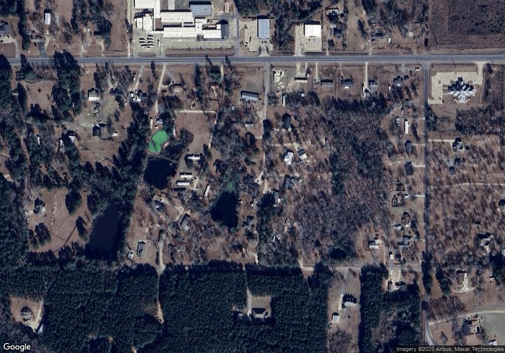
Map
Nearby Homes
- 107 Z St
- 5856 Jonesboro Rd
- 152 Fannin Rd
- 115 Sunnybrook Rd
- TBD Jim Arrant Rd
- 000 Jimmy Graham Loop
- 000 William Harris Rd Unit 1.365 Acres
- 0 Roberson Rd Unit 206166
- 494 Lapine Rd
- 212 S Leo Ln
- 146 S Leo Ln
- 0 Ed Rutledge Rd Unit 215652
- 314 Karen Ln
- 152 Jim Arrant Rd
- 112 Bill Dr
- 995 Larry Henry Rd
- 125 Chatham Ln
- 219 Dogwood Cir
- 820 Tidwell Rd
- 300 Larry Henry Rd
- 163 Aaron Rd
- 202 Aaron Rd
- 139 Aaron Rd
- 220 Mathis Rd
- 0 Mathis Rd Unit 20.07+/- acres
- 170 Mathis Rd
- 5909 Jonesboro Rd
- 111 Z St
- 103 Z St
- 5849 Jonesboro Rd
- 5959 Jonesboro Rd
- 217 Mathis Rd
- 130 Mathis Rd
- 5908 Jonesboro Rd
- 5829 Jonesboro Rd
- 393 Mount Vernon Church Rd
- 151 Mathis Rd
- 401 Mount Vernon Church Rd
- 357 Mount Vernon Church Rd
- 5963 Jonesboro Rd
Your Personal Tour Guide
Ask me questions while you tour the home.