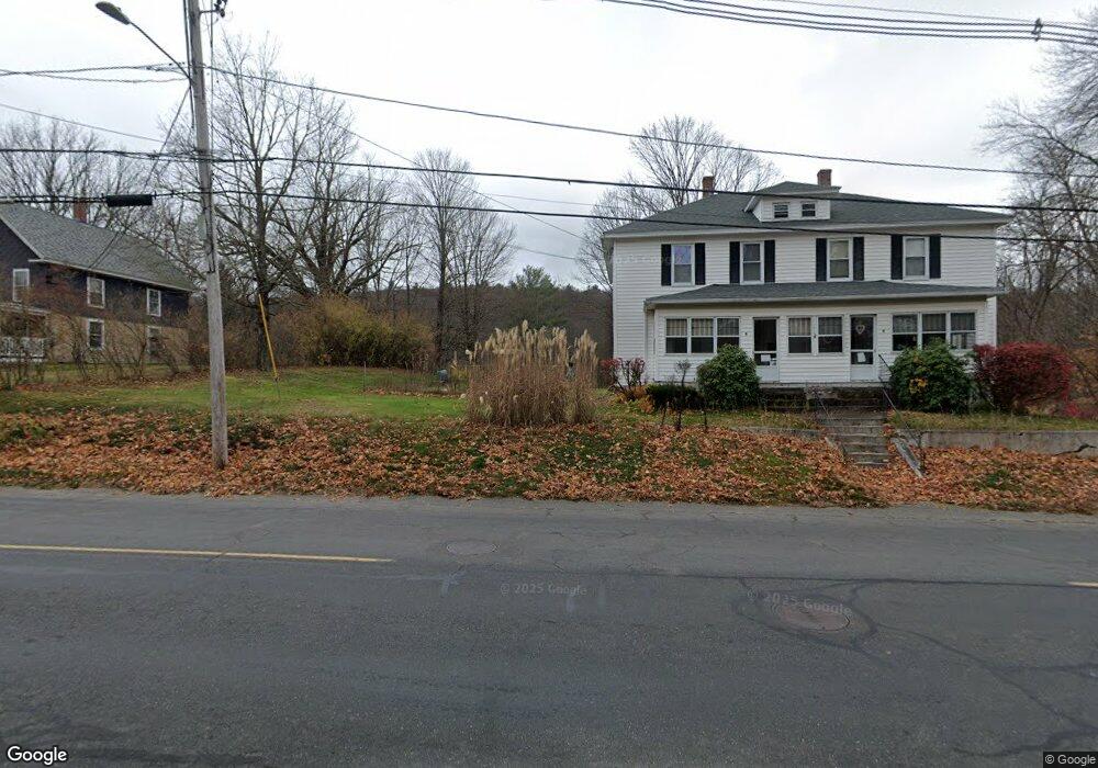
176 Brook Rd Warren, MA 01083
Estimated Value: $291,037 - $402,000
4
Beds
2
Baths
2,378
Sq Ft
$153/Sq Ft
Est. Value
About This Home
This home is located at 176 Brook Rd, Warren, MA 01083 and is currently estimated at $362,759, approximately $152 per square foot. 176 Brook Rd is a home with nearby schools including Quaboag Regional High School.
Ownership History
Date
Name
Owned For
Owner Type
Purchase Details
Closed on
Jan 13, 2025
Sold by
Stebbins Richard L Est and Stebbins
Bought by
Stebbins Susan L
Current Estimated Value
Purchase Details
Closed on
Jun 4, 2010
Sold by
Supczak Michael J
Bought by
Supczak Stanley A and Supczak Sandra J
Home Financials for this Owner
Home Financials are based on the most recent Mortgage that was taken out on this home.
Original Mortgage
$120,000
Interest Rate
5.12%
Mortgage Type
Purchase Money Mortgage
Create a Home Valuation Report for This Property
The Home Valuation Report is an in-depth analysis detailing your home's value as well as a comparison with similar homes in the area
Home Values in the Area
Average Home Value in this Area
Purchase History
| Date | Buyer | Sale Price | Title Company |
|---|---|---|---|
| Stebbins Susan L | -- | None Available | |
| Stebbins Susan L | -- | None Available | |
| Supczak Stanley A | -- | -- | |
| Stebbins Richard L | $150,000 | -- | |
| Supczak Stanley A | -- | -- |
Source: Public Records
Mortgage History
| Date | Status | Borrower | Loan Amount |
|---|---|---|---|
| Previous Owner | Stebbins Richard L | $120,000 |
Source: Public Records
Tax History
| Year | Tax Paid | Tax Assessment Tax Assessment Total Assessment is a certain percentage of the fair market value that is determined by local assessors to be the total taxable value of land and additions on the property. | Land | Improvement |
|---|---|---|---|---|
| 2025 | $3,837 | $259,100 | $49,900 | $209,200 |
| 2024 | $3,905 | $259,100 | $49,900 | $209,200 |
| 2023 | $3,801 | $240,600 | $49,900 | $190,700 |
| 2022 | $3,355 | $215,600 | $43,000 | $172,600 |
| 2021 | $3,219 | $201,700 | $40,600 | $161,100 |
| 2020 | $3,257 | $189,800 | $40,600 | $149,200 |
| 2019 | $3,267 | $180,000 | $40,600 | $139,400 |
| 2018 | $3,017 | $174,200 | $40,600 | $133,600 |
| 2017 | $3,122 | $168,200 | $42,200 | $126,000 |
| 2016 | $3,194 | $161,000 | $40,200 | $120,800 |
| 2015 | $3,019 | $161,000 | $40,200 | $120,800 |
| 2014 | $3,075 | $161,000 | $40,200 | $120,800 |
Source: Public Records
Map
Nearby Homes
- 19 Chapel St
- 47 North St
- 235 Crouch Rd
- Lot 3C Crouch Rd
- 77 O'Neil Rd
- 352 Reed St
- 95 Town Farm Rd
- 30 Old West Warren Rd
- Lot 4 Reed St
- Lot 7 Reed St
- 0 Town Farm Rd
- 170 Bridge St
- Lot 5 Brimfield Rd
- Lot 3 Brimfield Rd
- 59 High St
- 0 Brimfield Rd Unit 73426061
- 129 School St
- 17 Otis St
- 40 Hillside Ave
- Lot 2 Brimfield Rd
Your Personal Tour Guide
Ask me questions while you tour the home.