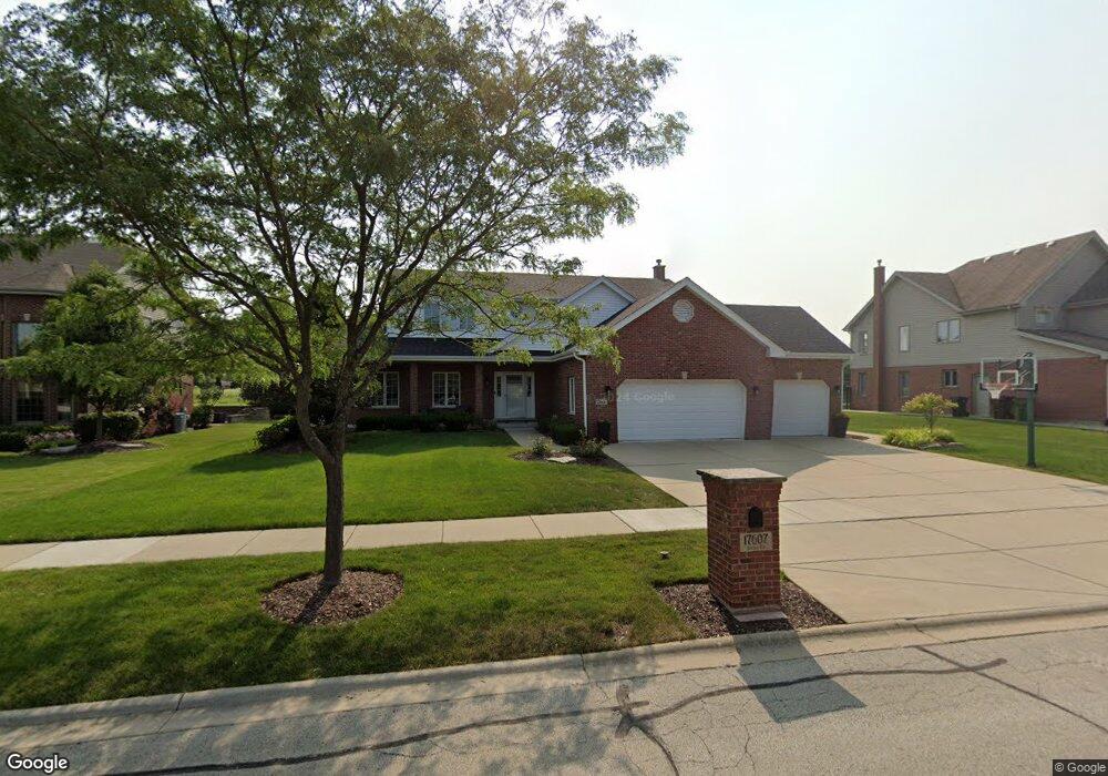
17607 Dunn Rd Tinley Park, IL 60487
Central Tinley Park NeighborhoodEstimated Value: $543,946 - $633,000
4
Beds
3
Baths
2,762
Sq Ft
$214/Sq Ft
Est. Value
About This Home
This home is located at 17607 Dunn Rd, Tinley Park, IL 60487 and is currently estimated at $591,987, approximately $214 per square foot. 17607 Dunn Rd is a home located in Cook County with nearby schools including Millennium Elementary School, Prairie View Middle School, and Victor J Andrew High School.
Ownership History
Date
Name
Owned For
Owner Type
Purchase Details
Closed on
Nov 4, 2008
Sold by
Standard Bank & Trust Company
Bought by
Jendra James A and Jendra Kathryn C
Current Estimated Value
Home Financials for this Owner
Home Financials are based on the most recent Mortgage that was taken out on this home.
Original Mortgage
$260,000
Outstanding Balance
$166,710
Interest Rate
5.95%
Mortgage Type
Unknown
Estimated Equity
$425,277
Create a Home Valuation Report for This Property
The Home Valuation Report is an in-depth analysis detailing your home's value as well as a comparison with similar homes in the area
Home Values in the Area
Average Home Value in this Area
Purchase History
| Date | Buyer | Sale Price | Title Company |
|---|---|---|---|
| Jendra James A | $491,000 | Cti |
Source: Public Records
Mortgage History
| Date | Status | Borrower | Loan Amount |
|---|---|---|---|
| Open | Jendra James A | $260,000 |
Source: Public Records
Tax History
| Year | Tax Paid | Tax Assessment Tax Assessment Total Assessment is a certain percentage of the fair market value that is determined by local assessors to be the total taxable value of land and additions on the property. | Land | Improvement |
|---|---|---|---|---|
| 2025 | $11,092 | $43,265 | $6,945 | $36,320 |
| 2024 | $11,092 | $43,265 | $6,945 | $36,320 |
| 2023 | $9,825 | $50,000 | $6,945 | $43,055 |
| 2022 | $9,825 | $30,980 | $6,039 | $24,941 |
| 2021 | $9,540 | $30,980 | $6,039 | $24,941 |
| 2020 | $10,177 | $33,383 | $6,039 | $27,344 |
| 2019 | $10,163 | $34,767 | $5,435 | $29,332 |
| 2018 | $9,944 | $34,767 | $5,435 | $29,332 |
| 2017 | $11,123 | $39,380 | $5,435 | $33,945 |
| 2016 | $9,736 | $31,812 | $4,831 | $26,981 |
| 2015 | $10,209 | $33,694 | $4,831 | $28,863 |
| 2014 | $10,881 | $35,970 | $4,831 | $31,139 |
| 2013 | $10,358 | $38,803 | $4,831 | $33,972 |
Source: Public Records
Map
Nearby Homes
- 17618 Dunn Rd
- 8320 Heather Ln
- 19209 Buncrana Cir
- 18113 Mager Dr Unit 18113
- 8835 174th St
- 18161 Mager Dr Unit 18161
- 8990 175th St
- 8444 W 171st St
- 8800 172nd St
- 7832 Joliet Dr S
- 7816 Marquette Dr S
- 16951 Shannon Dr
- 7946 172nd Place
- 7946 172nd St
- 17010 88th Ct
- 17565 Windsor Pkwy Unit 37
- 9219 Greenwood Dr
- 7811 Bristol Park Dr N
- 9201 175th St
- 8718 Black Oak Ave
Your Personal Tour Guide
Ask me questions while you tour the home.