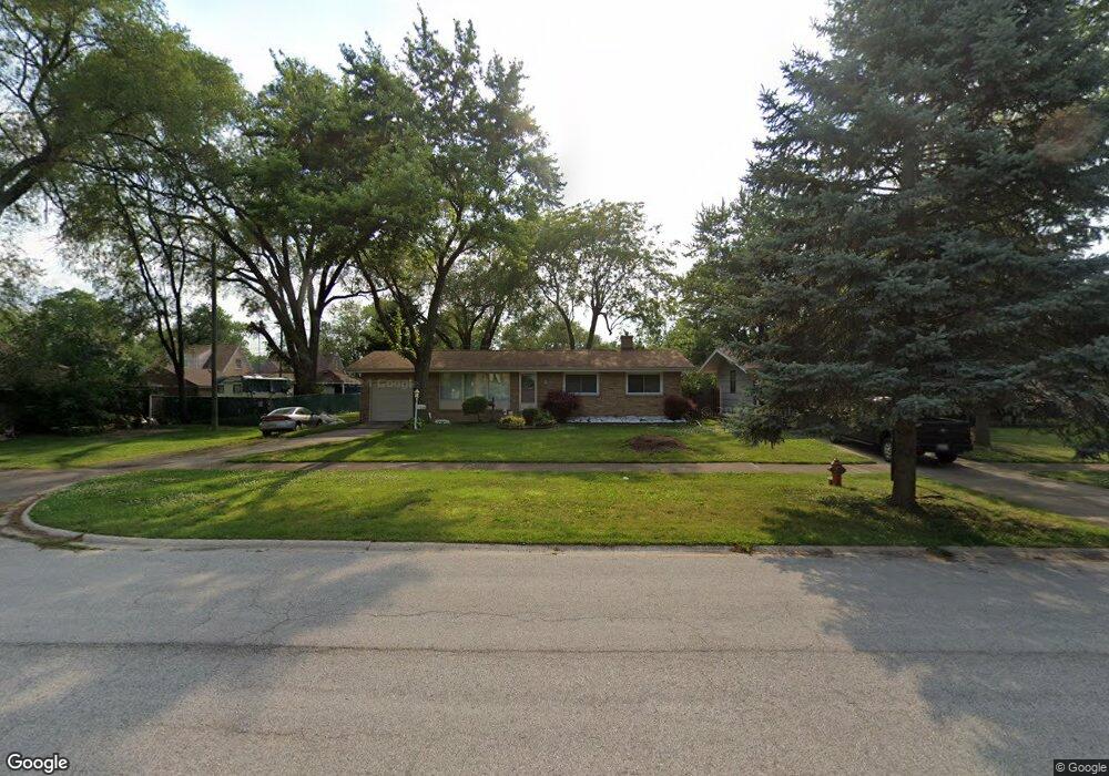
17610 State Line Ave Lansing, IL 60438
Estimated Value: $191,433 - $229,000
About This Home
This home is located at 17610 State Line Ave, Lansing, IL 60438 and is currently estimated at $211,108, approximately $184 per square foot. 17610 State Line Ave is a home located in Cook County with nearby schools including Coolidge Elementary School, Memorial Jr High School, and Thornton Fractnl So High School.
Ownership History
We collect this data history from publicly available records. To have your information removed, we recommend requesting removal directly through your county’s website.
Purchase Details
Home Financials for this Owner
Home Financials are based on the most recent Mortgage that was taken out on this home.Home Values in the Area
Average Home Value in this Area
Purchase History
We collect this data history from publicly available records. To have your information removed, we recommend requesting removal directly through your county’s website.
| Date | Buyer | Sale Price | Title Company |
|---|---|---|---|
| $96,000 | -- |
Mortgage History
We collect this data history from publicly available records. To have your information removed, we recommend requesting removal directly through your county’s website.
| Date | Status | Borrower | Loan Amount |
|---|---|---|---|
| Closed | $76,800 |
Tax History
We collect this data history from publicly available records. To have your information removed, we recommend requesting removal directly through your county’s website.
| Year | Tax Paid | Tax Assessment Tax Assessment Total Assessment is a certain percentage of the fair market value that is determined by local assessors to be the total taxable value of land and additions on the property. | Land | Improvement |
|---|---|---|---|---|
| 2025 | $1,930 | $9,957 | $3,226 | $6,731 |
| 2024 | $1,930 | $9,957 | $3,226 | $6,731 |
| 2023 | $1,530 | $9,957 | $3,226 | $6,731 |
| 2022 | $1,530 | $9,196 | $2,846 | $6,350 |
| 2021 | $3,707 | $9,195 | $2,846 | $6,349 |
| 2020 | $3,938 | $9,814 | $2,846 | $6,968 |
| 2019 | $2,471 | $7,770 | $2,656 | $5,114 |
| 2018 | $2,422 | $7,770 | $2,656 | $5,114 |
| 2017 | $2,887 | $8,493 | $2,656 | $5,837 |
| 2016 | $2,973 | $7,934 | $2,466 | $5,468 |
| 2015 | $2,698 | $7,934 | $2,466 | $5,468 |
| 2014 | $3,422 | $9,398 | $2,466 | $6,932 |
| 2013 | $3,852 | $11,184 | $2,466 | $8,718 |
Map
- 17525 Maple Ave
- 3622 178th St
- 237 Hollywood Ave
- 7608 Manor Ave
- 7426 Park Place
- 108 Beverly Place
- 423 176th Ct
- 17922 State Line Ave
- 3531 Adams St
- 17945 Maple St
- 17730 Henry St
- 3617 Monroe St
- 7937 Forest Ave
- 7413 S Harrison Ave
- 17243 Bernadine St
- 17948 Wentworth Ave
- 17702 Community St
- 3636 172nd St
- 17633 Roy St
- 17639 Roy St
- 17545 Maple Ave
- 17601 Maple St
- 17607 Maple St
- 17600 State Line Ave
- 17537 Maple Dr
- 17539 Maple Dr
- 17548 State Line Ave
- 17611 Maple St
- 17535 Maple Dr
- 17542 State Line Ave
- 17615 Maple St
- 17544 Maple Ave
- 17536 State Line Ave
- 3714 176th Place
- 17600 Maple St
- 17540 Maple Ave
- 17621 Maple St
- 17533 Maple Dr
- 3718 176th Place
- 3674 176th Place
Ask me questions while you tour the home.