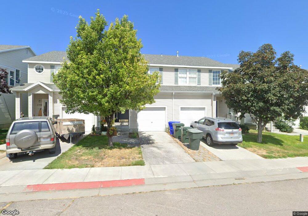
1763 Anson Dr Tooele, UT 84074
Estimated Value: $303,000 - $414,000
3
Beds
3
Baths
1,877
Sq Ft
$179/Sq Ft
Est. Value
About This Home
This home is located at 1763 Anson Dr, Tooele, UT 84074 and is currently estimated at $335,416, approximately $178 per square foot. 1763 Anson Dr is a home located in Tooele County with nearby schools including Overlake Elementary School, Clarke N. Johnsen Junior High School, and Stansbury High School.
Ownership History
Date
Name
Owned For
Owner Type
Purchase Details
Closed on
Jul 13, 2018
Sold by
Whitmore Lavoy and Whitmore Shaunlee
Bought by
Ward Kimberly Belle
Current Estimated Value
Home Financials for this Owner
Home Financials are based on the most recent Mortgage that was taken out on this home.
Original Mortgage
$177,500
Outstanding Balance
$153,830
Interest Rate
4.5%
Mortgage Type
VA
Estimated Equity
$181,586
Purchase Details
Closed on
Feb 1, 2018
Sold by
Lec Whitmore Pine Terrace
Bought by
Whitmore Lavoy and Whitmore Shaunlee
Purchase Details
Closed on
Sep 7, 2016
Sold by
Whitmore Lavoy and Whitmore Shaunlee
Bought by
Whitmore Pine Terrace Llc
Purchase Details
Closed on
Oct 4, 2011
Sold by
Boggess Anthony J
Bought by
Boggess Anthony J and Boggess Jennifer C
Create a Home Valuation Report for This Property
The Home Valuation Report is an in-depth analysis detailing your home's value as well as a comparison with similar homes in the area
Purchase History
| Date | Buyer | Sale Price | Title Company |
|---|---|---|---|
| Ward Kimberly Belle | -- | Bay National Title Company | |
| Whitmore Lavoy | -- | Bay National Title Company | |
| Whitmore Pine Terrace Llc | -- | Bay National Title Company | |
| Boggess Anthony J | -- | None Available |
Source: Public Records
Mortgage History
| Date | Status | Borrower | Loan Amount |
|---|---|---|---|
| Open | Ward Kimberly Belle | $177,500 |
Source: Public Records
Tax History
| Year | Tax Paid | Tax Assessment Tax Assessment Total Assessment is a certain percentage of the fair market value that is determined by local assessors to be the total taxable value of land and additions on the property. | Land | Improvement |
|---|---|---|---|---|
| 2025 | $1,996 | $292,473 | $73,000 | $219,473 |
| 2024 | $2,268 | $167,738 | $55,000 | $112,738 |
| 2023 | $2,268 | $161,310 | $36,300 | $125,010 |
| 2022 | $1,716 | $141,785 | $41,250 | $100,535 |
| 2021 | $1,577 | $108,303 | $13,750 | $94,553 |
| 2020 | $1,487 | $179,878 | $25,000 | $154,878 |
| 2019 | $0 | $175,114 | $23,333 | $151,781 |
| 2018 | $1,285 | $146,425 | $25,000 | $121,425 |
| 2017 | $1,004 | $135,386 | $25,000 | $110,386 |
| 2016 | $711 | $66,543 | $13,750 | $52,793 |
| 2015 | $711 | $50,404 | $0 | $0 |
| 2014 | -- | $50,404 | $0 | $0 |
Source: Public Records
Map
Nearby Homes
- 182 Aparicio Dr
- 1782 Brett St
- 1742 N 80 E
- 1651 N 40 E
- 88 Aparicio Dr
- 179 Green Pines Ave
- 1725 180 E Unit D137
- 58 W 1570 N
- 1893 N 70 W
- 1618 N 210 E
- 1909 N 70 W
- 1245 N Clemente Way
- 1598 N 210 E Unit 107
- 2042 N Essie Dr
- 1770 N Patchwork Ave Unit 1255
- 1428 Baen Way Unit 241
- 1934 N Ten Hens Ave Unit 1140
- 266 E Serenity Ave Unit 1131
- 268 E Serenity Ave Unit 1132
- 1833 N Blue Iris Ave Unit 1073
- 1767 Anson Dr
- 1759 Anson Dr
- 1773 Anson Dr
- 1753 Anson Dr
- 1751 Anson Dr
- 1777 Anson Dr
- 1781 Anson Dr
- 1749 Anson Dr
- 1772 Banks St
- 1776 Banks St
- 1782 Banks St
- 1769 N Aaron Dr Unit 44
- 1769 Aaron Dr Unit 44
- 1743 Anson Dr
- 1763 N Aaron Dr Unit 45
- 1786 Banks St Unit 112
- 1773 Aaron Dr
- 1763 Aaron Dr
- 1739 Anson Dr
- 1779 Aaron Dr
Your Personal Tour Guide
Ask me questions while you tour the home.