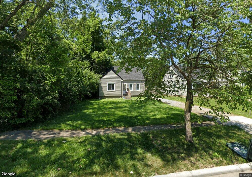
1767 Brentnell Ave Columbus, OH 43219
Woodland Holt NeighborhoodEstimated Value: $123,000 - $167,000
About This Home
This home is located at 1767 Brentnell Ave, Columbus, OH 43219 and is currently estimated at $150,567, approximately $114 per square foot. 1767 Brentnell Ave is a home located in Franklin County with nearby schools including South Mifflin Stem Academy (K-6), Linden-Mckinley Stem School On Arcadia, and Cesar Chavez College Preparatory School.
Ownership History
Purchase Details
Home Financials for this Owner
Home Financials are based on the most recent Mortgage that was taken out on this home.Purchase Details
Home Values in the Area
Average Home Value in this Area
Purchase History
We collect this data history from publicly available records. To have your information removed, we recommend requesting removal directly through your county’s website.
| Date | Buyer | Sale Price | Title Company |
|---|---|---|---|
| Dean James H | $55,000 | -- | |
| Grunewald John H | -- | -- |
Mortgage History
We collect this data history from publicly available records. To have your information removed, we recommend requesting removal directly through your county’s website.
| Date | Status | Borrower | Loan Amount |
|---|---|---|---|
| Open | Dean James H | $54,150 |
Tax History
| Year | Tax Paid | Tax Assessment Tax Assessment Total Assessment is a certain percentage of the fair market value that is determined by local assessors to be the total taxable value of land and additions on the property. | Land | Improvement |
|---|---|---|---|---|
| 2025 | $1,461 | $22,760 | $8,300 | $14,460 |
| 2024 | $1,461 | $22,760 | $8,300 | $14,460 |
| 2023 | $1,486 | $31,885 | $8,295 | $23,590 |
| 2022 | $696 | $12,260 | $2,420 | $9,840 |
| 2021 | $976 | $12,260 | $2,420 | $9,840 |
| 2020 | $701 | $12,260 | $2,420 | $9,840 |
| 2019 | $610 | $9,810 | $1,930 | $7,880 |
| 2018 | $805 | $9,810 | $1,930 | $7,880 |
| 2017 | $1,086 | $15,760 | $1,930 | $13,830 |
| 2016 | $1,425 | $16,630 | $2,660 | $13,970 |
| 2015 | $1,000 | $16,630 | $2,660 | $13,970 |
| 2014 | $1,002 | $16,630 | $2,660 | $13,970 |
| 2013 | $549 | $18,445 | $2,940 | $15,505 |
Map
- 1771 Marston Rd
- 2131 Argyle Dr
- 2181 Middlehurst Dr
- 1575 Vendome Dr S
- 1588 Marina Dr
- 2208 Sagamore Rd
- 1510 Brentnell Ave
- 2298 Holt Ave
- 2481 Queenswood Dr
- 2515 Joi Ave
- 2054 Jermain Dr
- 1903 Alvason Ave
- 2424 Holt Ave
- 0 Danby Dr
- 2180 Hanna Dr
- 1772 E 23rd Ave
- 1805 E 26th Ave
- 0 Delbert Rd Unit 225030362
- 2183 Berrell Ave
- 2003 E Hudson St
- 1773 Brentnell Ave
- 1753 Brentnell Ave
- 1779 Brentnell Ave
- 1747 Brentnell Ave
- 14 Brentnell Ave
- 17 Brentnell Ave
- 14 Brentnell Ave Unit L-14
- 1785 Brentnell Ave
- 1741 Brentnell Ave
- 1793 Brentnell Ave
- 1770 Marston Rd
- 1778 Marston Rd
- 1764 Marston Rd
- 1762 Brentnell Ave
- 1770 Brentnell Ave
- 1784 Marston Rd
- 1754 Brentnell Ave
- 1735 Brentnell Ave
- 1758 Marston Rd
- 1778 Brentnell Ave
Ask me questions while you tour the home.