1769 Minturn Dr Powell, OH 43065
Smoky Ridge Estates NeighborhoodEstimated Value: $325,000 - $376,858
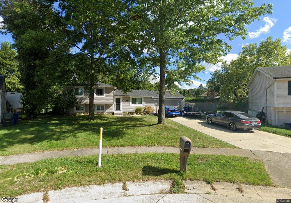
About This Home
This home is located at 1769 Minturn Dr, Powell, OH 43065 and is currently estimated at $355,715, approximately $251 per square foot. 1769 Minturn Dr is a home located in Franklin County with nearby schools including Liberty Elementary School, McCord Middle School, and Worthington Kilbourne High School.
Ownership History
We collect this data history from publicly available records. To have your information removed, we recommend requesting removal directly through your county’s website.
Purchase Details
Home Financials for this Owner
Home Financials are based on the most recent Mortgage that was taken out on this home.Purchase Details
Purchase Details
Purchase Details
Purchase Details
Home Values in the Area
Average Home Value in this Area
Purchase History
We collect this data history from publicly available records. To have your information removed, we recommend requesting removal directly through your county’s website.
| Date | Buyer | Sale Price | Title Company |
|---|---|---|---|
| $99,900 | Bxohio Land R | ||
| $96,000 | Attorney | ||
| $87,900 | -- | ||
| $69,000 | -- | ||
| $63,500 | -- |
Mortgage History
We collect this data history from publicly available records. To have your information removed, we recommend requesting removal directly through your county’s website.
| Date | Status | Borrower | Loan Amount |
|---|---|---|---|
| Open | $96,400 |
Tax History
We collect this data history from publicly available records. To have your information removed, we recommend requesting removal directly through your county’s website.
| Year | Tax Paid | Tax Assessment Tax Assessment Total Assessment is a certain percentage of the fair market value that is determined by local assessors to be the total taxable value of land and additions on the property. | Land | Improvement |
|---|---|---|---|---|
| 2025 | $6,458 | $105,180 | $38,500 | $66,680 |
| 2024 | $6,458 | $105,180 | $38,500 | $66,680 |
| 2023 | $6,175 | $105,175 | $38,500 | $66,675 |
| 2022 | $4,796 | $64,820 | $17,850 | $46,970 |
| 2021 | $4,425 | $64,820 | $17,850 | $46,970 |
| 2020 | $4,262 | $64,820 | $17,850 | $46,970 |
| 2019 | $3,869 | $53,100 | $14,880 | $38,220 |
| 2018 | $3,560 | $53,100 | $14,880 | $38,220 |
| 2017 | $3,001 | $45,960 | $14,880 | $31,080 |
| 2016 | $3,372 | $47,500 | $14,280 | $33,220 |
| 2015 | $3,373 | $47,500 | $14,280 | $33,220 |
| 2014 | $3,372 | $47,500 | $14,280 | $33,220 |
| 2013 | $1,678 | $47,495 | $14,280 | $33,215 |
Map
- 8819 Seabright Dr
- 1766 Redcloud Dr
- 10549 Churchill Dr
- 1851 Maroon Dr
- 8292 Breckenridge Way
- 10561 Churchill Dr
- 2659 Unbridled Ct
- 8245 Markhaven Ct
- 8503 Nimitz Dr
- 2021 Summit Row Blvd
- 8175 Markhaven Dr
- 3033 Jamestown Dr
- 2087-2089 Summit Row Blvd
- 1939 Dina Ct
- 2393 Cove Point Ct
- 1951 Eldorado Ct
- 1375 Hickory Ridge Ln
- 1967 Woodlands Place
- 2061 Stowbridge Rd
- 8715 Ripton Dr
- 1762 Minturn Dr
- 1777 Minturn Dr
- 8766 Blessing Dr
- 1776 Gallo Dr
- 1784 Gallo Dr
- 1770 Minturn Dr
- 1785 Minturn Dr
- 8758 Blessing Dr
- 1792 Gallo Dr
- 8812 Minturn Ct
- 1793 Minturn Dr
- 8820 Minturn Ct
- 1800 Gallo Dr
- 8750 Blessing Dr
- 8743 Blessing Dr
- 8752 John John Ct
- 1801 Minturn Dr
- 8828 Minturn Ct
- 8395 Evangeline Dr
- 8401 Evangeline Dr
Ask me questions while you tour the home.