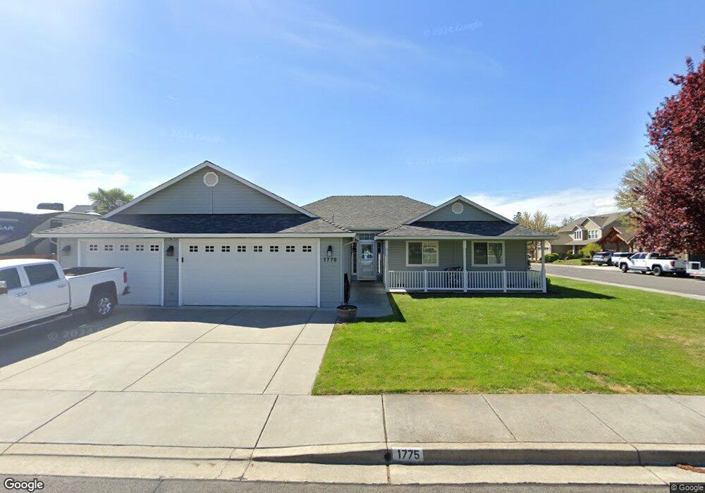
1775 Scofield St Central Point, OR 97502
Estimated Value: $460,000 - $517,351
3
Beds
2
Baths
1,785
Sq Ft
$270/Sq Ft
Est. Value
About This Home
This home is located at 1775 Scofield St, Central Point, OR 97502 and is currently estimated at $482,588, approximately $270 per square foot. 1775 Scofield St is a home located in Jackson County with nearby schools including Jewett Elementary School, Scenic Middle School, and Crater High School.
Ownership History
Date
Name
Owned For
Owner Type
Purchase Details
Closed on
Mar 4, 2016
Sold by
Plue Robert A and Plue Virginia K
Bought by
Plue Robert A and Plue Virginia K
Current Estimated Value
Purchase Details
Closed on
Mar 9, 2002
Sold by
Key West Properties
Bought by
Plue Robert A and Plue Virginia
Create a Home Valuation Report for This Property
The Home Valuation Report is an in-depth analysis detailing your home's value as well as a comparison with similar homes in the area
Purchase History
We collect this data history from publicly available records. To have your information removed, we recommend requesting removal directly through your county’s website.
| Date | Buyer | Sale Price | Title Company |
|---|---|---|---|
| Plue Robert A | -- | None Available | |
| Plue Robert A | $54,900 | Jackson County Title |
Source: Public Records
Tax History
| Year | Tax Paid | Tax Assessment Tax Assessment Total Assessment is a certain percentage of the fair market value that is determined by local assessors to be the total taxable value of land and additions on the property. | Land | Improvement |
|---|---|---|---|---|
| 2026 | $4,774 | $288,480 | -- | -- |
| 2025 | $4,657 | $280,080 | $98,660 | $181,420 |
| 2024 | $4,657 | $271,930 | $95,780 | $176,150 |
| 2023 | $4,507 | $264,010 | $92,990 | $171,020 |
| 2022 | $4,402 | $264,010 | $92,990 | $171,020 |
| 2021 | $4,276 | $256,330 | $90,280 | $166,050 |
| 2020 | $4,151 | $248,870 | $87,650 | $161,220 |
| 2019 | $4,049 | $234,600 | $82,620 | $151,980 |
| 2018 | $3,926 | $227,770 | $80,220 | $147,550 |
| 2017 | $3,827 | $227,770 | $80,220 | $147,550 |
| 2016 | $3,715 | $214,700 | $75,610 | $139,090 |
| 2015 | $3,560 | $214,700 | $75,610 | $139,090 |
| 2014 | $3,469 | $202,380 | $71,270 | $131,110 |
Source: Public Records
Map
Nearby Homes
- 2307 Jeremy St
- 2618 Rabun Way
- 0 Evan Way
- 2244 Evan Way
- 1653 Kentucky Ct
- 1935 Walnut Grove Ln
- 2311 Lara Ln
- 2200 Lara Ln
- 532 Wilson Rd
- 225 Wilson Rd
- 4762 Gebhard Rd
- 1153 Annalise St
- 875 N Mountain Ave
- 4730 Gebhard Rd
- 4722 Gebhard Rd
- 4718 Gebhard Rd
- 1105 Annalise St
- 4710 Gebhard Rd
- 1101 Annalise St
- 997 N Mountain Ave
- 2198 Rabun Way
- 2201 Jeremy St
- 185 Rabun Way
- 2197 Jeremy St
- 2203 Rabun Way
- 2194 Rabun Way
- 2199 Rabun Way
- 2207 Rabun Way
- 2193 Jeremy St
- 2318 Rabun Way
- 2195 Rabun Way
- 2309 Rabun Way
- 2317 Jeremy St
- 2184 Rabun Way
- 1655 Scofield St
- 2183 Jeremy St
- 2185 Rabun Way
- 2328 Rabun Way
- 2306 Jeremy St
- 2174 Rabun Way
Your Personal Tour Guide
Ask me questions while you tour the home.