17761 Shady Ln Fredericktown, OH 43019
Estimated Value: $305,000 - $435,000
3
Beds
2
Baths
1,576
Sq Ft
$246/Sq Ft
Est. Value
About This Home
This home is located at 17761 Shady Ln, Fredericktown, OH 43019 and is currently estimated at $387,325, approximately $245 per square foot. 17761 Shady Ln is a home located in Knox County with nearby schools including Mount Vernon High School.
Ownership History
Date
Name
Owned For
Owner Type
Purchase Details
Closed on
Mar 15, 2006
Sold by
Lewis Samuel M and Lewis Kathy L
Bought by
Lewis Samuel M and Lewis Kathy L
Current Estimated Value
Purchase Details
Closed on
Nov 9, 2004
Sold by
Deffinger William and Deffinger Sharo
Bought by
Lewis Samuel M and Lewis Kathy L
Purchase Details
Closed on
Apr 10, 1992
Sold by
Rutter William J and Rutter Susan
Bought by
Deffinger William and Deffinger Sharo
Create a Home Valuation Report for This Property
The Home Valuation Report is an in-depth analysis detailing your home's value as well as a comparison with similar homes in the area
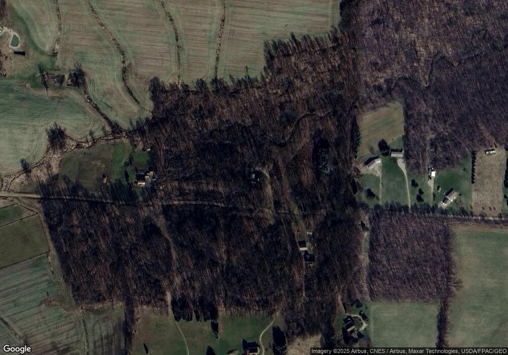
Purchase History
We collect this data history from publicly available records. To have your information removed, we recommend requesting removal directly through your county’s website.
| Date | Buyer | Sale Price | Title Company |
|---|---|---|---|
| Lewis Samuel M | -- | None Available | |
| Lewis Samuel M | $258,000 | -- | |
| Deffinger William | $115,000 | -- |
Source: Public Records
Tax History
| Year | Tax Paid | Tax Assessment Tax Assessment Total Assessment is a certain percentage of the fair market value that is determined by local assessors to be the total taxable value of land and additions on the property. | Land | Improvement |
|---|---|---|---|---|
| 2025 | $2,814 | $87,490 | $49,450 | $38,040 |
| 2024 | $2,814 | $87,490 | $49,450 | $38,040 |
| 2023 | $3,315 | $87,490 | $49,450 | $38,040 |
| 2022 | $2,458 | $60,340 | $34,100 | $26,240 |
| 2021 | $2,458 | $60,340 | $34,100 | $26,240 |
| 2020 | $2,400 | $60,340 | $34,100 | $26,240 |
| 2019 | $2,240 | $54,220 | $30,240 | $23,980 |
| 2018 | $2,242 | $54,220 | $30,240 | $23,980 |
| 2017 | $2,207 | $54,220 | $30,240 | $23,980 |
| 2016 | $1,951 | $50,200 | $28,000 | $22,200 |
| 2015 | $1,959 | $50,200 | $28,000 | $22,200 |
| 2014 | $1,968 | $50,200 | $28,000 | $22,200 |
| 2013 | $2,634 | $52,630 | $28,720 | $23,910 |
Source: Public Records
Map
Nearby Homes
- 17536 Carson Rd
- 15331 Wooster Rd
- 0 Divelbiss Rd
- 17970 Scott Rd
- 14281 N Liberty Rd
- 13999 Wooster Rd
- 14293 Gilchrist Rd
- 15266 Gilchrist Rd
- 15066 Monroe Mills Rd
- 0 Crooked St
- 21146 Floralwood Dr
- 931 Country Club Dr
- 13891 Armentrout Rd
- 13699 Vincent Rd
- 926 Fairway Dr
- 18845 Nunda Rd
- 898 Country Club Dr
- 0 Crooked Street Land Split 2
- 868 Fairway Dr
- 850 Fairway Dr
- 0 Shady Lane Rd
- 17821 E Shady Ln
- 17830 Shady Lane Rd
- 17865 Shady Lane Rd
- 17865 E Shady Ln
- 17865 E Shady Ln
- 17830 Shady Ln
- 17718 Shady Lane Rd
- 17921 E Shady Ln
- 17921 Shady Lane Rd
- 17581 Shady Ln
- 17626 Shady Ln
- 0 Shady Ln Unit 9030402
- 0 Shady Ln Unit 213020316
- 18081 E Shady Ln
- 0 Carson Rd
- 0.866 Ac. Carson Rd
- 16201 Carson Rd
- 18151 E Shady Ln
- 18151 E Shady Ln
Your Personal Tour Guide
Ask me questions while you tour the home.