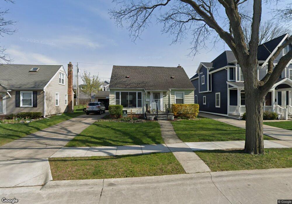
1777 Webster St Birmingham, MI 48009
Estimated Value: $363,000 - $560,000
3
Beds
2
Baths
1,000
Sq Ft
$435/Sq Ft
Est. Value
About This Home
This home is located at 1777 Webster St, Birmingham, MI 48009 and is currently estimated at $435,235, approximately $435 per square foot. 1777 Webster St is a home located in Oakland County with nearby schools including Pembroke Elementary School, Derby Middle School, and Ernest W. Seaholm High School.
Ownership History
Date
Name
Owned For
Owner Type
Purchase Details
Closed on
Sep 2, 2014
Sold by
Gibbs Clarence Alan
Bought by
Gibbs Natalie Kathleen
Current Estimated Value
Purchase Details
Closed on
Jun 6, 2008
Sold by
Gibbs Natalie June and Kunkel Natalie K
Bought by
Gibbs Clarence Alan
Purchase Details
Closed on
Sep 16, 2006
Sold by
Gibbs Natalie June
Bought by
Gibbs Natalie June and Kunkel Natalie Kathleen
Purchase Details
Closed on
Feb 2, 2005
Sold by
Gibbs Penny and Gibbs Bosak Jana
Bought by
Gibbs Natalie J
Purchase Details
Closed on
Jan 5, 2000
Sold by
Gibbs Natalie J
Bought by
Gibbs Natalie J
Create a Home Valuation Report for This Property
The Home Valuation Report is an in-depth analysis detailing your home's value as well as a comparison with similar homes in the area
Home Values in the Area
Average Home Value in this Area
Purchase History
We collect this data history from publicly available records. To have your information removed, we recommend requesting removal directly through your county’s website.
| Date | Buyer | Sale Price | Title Company |
|---|---|---|---|
| Gibbs Natalie Kathleen | -- | None Available | |
| Gibbs Clarence Alan | -- | None Available | |
| Gibbs Natalie June | -- | None Available | |
| Gibbs Natalie J | -- | -- | |
| Gibbs Natalie J | -- | -- |
Source: Public Records
Tax History
| Year | Tax Paid | Tax Assessment Tax Assessment Total Assessment is a certain percentage of the fair market value that is determined by local assessors to be the total taxable value of land and additions on the property. | Land | Improvement |
|---|---|---|---|---|
| 2025 | $3,016 | $175,800 | $0 | $0 |
| 2024 | $2,951 | $160,970 | $0 | $0 |
| 2023 | $2,828 | $142,540 | $0 | $0 |
| 2022 | $3,032 | $133,420 | $0 | $0 |
| 2021 | $3,059 | $125,830 | $0 | $0 |
| 2020 | $2,726 | $115,730 | $0 | $0 |
| 2019 | $3,085 | $110,280 | $0 | $0 |
| 2018 | $3,061 | $106,260 | $0 | $0 |
| 2017 | $3,057 | $103,150 | $0 | $0 |
| 2016 | $3,063 | $99,850 | $0 | $0 |
| 2015 | -- | $93,100 | $0 | $0 |
| 2014 | -- | $77,740 | $0 | $0 |
| 2011 | -- | $67,040 | $0 | $0 |
Source: Public Records
Map
Nearby Homes
- 1840 Holland St
- 1885 Holland St
- 1844 Haynes St
- 1798 Webster St
- 1748 Webster St
- 1982 Haynes St
- 1963 Cole St
- 1815 E Lincoln St
- 1982 E Lincoln St
- 532 Graten St Unit 16
- 1507 Cole St
- 1777 Hazel St
- 1909 W Melton Rd
- 2002 Hazel St Unit 69
- 2222 Attard Unit 2
- 1335 Webster St
- 1257 S Eton St
- 1845 Humphrey Ave
- 1333 Webster St
- 1324 Holland St
- 1852 Holland St
- 1824 Holland St
- 1810 Holland St
- 1868 Holland St
- 1796 Holland St
- 1835 Webster St
- 1847 Webster St
- 1823 Webster St
- 1880 Holland St
- 1879 Webster St
- 1821 Holland St
- 1801 Webster St
- 1833 Holland St
- 1809 Holland St
- 1849 Holland St
- 1867 Webster St
- 1782 Holland St
- 1892 Holland St
- 1867 Holland St
- 1785 Webster St
Your Personal Tour Guide
Ask me questions while you tour the home.