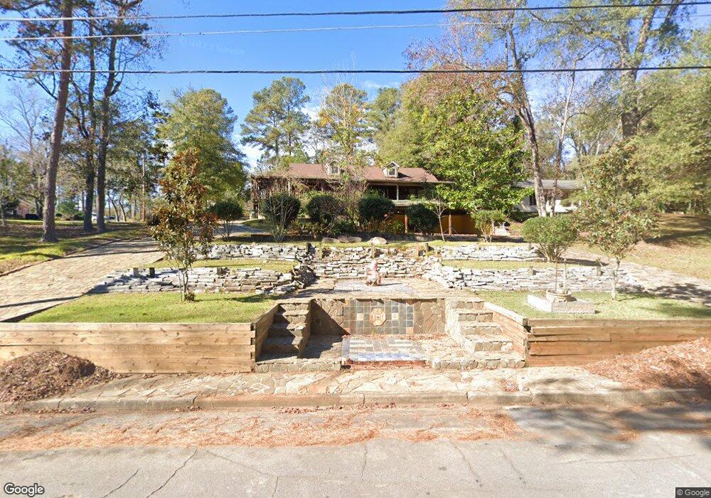
178 Brookside Dr Elberton, GA 30635
Estimated Value: $288,000 - $386,000
Studio
3
Baths
3,056
Sq Ft
$112/Sq Ft
Est. Value
About This Home
This home is located at 178 Brookside Dr, Elberton, GA 30635 and is currently estimated at $342,150, approximately $111 per square foot. 178 Brookside Dr is a home located in Elbert County with nearby schools including Elbert County Primary School, Elbert County Elementary School, and Elbert County Middle School.
Ownership History
Date
Name
Owned For
Owner Type
Purchase Details
Closed on
Dec 19, 2002
Sold by
Chaichian Jaleh
Bought by
Besharat Massoud
Current Estimated Value
Purchase Details
Closed on
Dec 13, 2002
Sold by
Tannous Soudabeh
Bought by
Besharat Massoud
Purchase Details
Closed on
Mar 1, 1997
Purchase Details
Closed on
Oct 1, 1990
Purchase Details
Closed on
Jan 1, 1954
Create a Home Valuation Report for This Property
The Home Valuation Report is an in-depth analysis detailing your home's value as well as a comparison with similar homes in the area
Home Values in the Area
Average Home Value in this Area
Purchase History
| Date | Buyer | Sale Price | Title Company |
|---|---|---|---|
| Besharat Massoud | -- | -- | |
| Besharat Massoud | -- | -- | |
| Besharat Massoud | -- | -- | |
| -- | -- | -- | |
| -- | $75,000 | -- | |
| -- | $52,000 | -- | |
| -- | -- | -- |
Source: Public Records
Tax History
| Year | Tax Paid | Tax Assessment Tax Assessment Total Assessment is a certain percentage of the fair market value that is determined by local assessors to be the total taxable value of land and additions on the property. | Land | Improvement |
|---|---|---|---|---|
| 2025 | $3,400 | $149,734 | $9,804 | $139,930 |
| 2024 | $3,348 | $138,092 | $8,526 | $129,566 |
| 2023 | $3,348 | $138,092 | $8,526 | $129,566 |
| 2022 | $2,326 | $96,556 | $8,526 | $88,030 |
| 2021 | $2,344 | $96,556 | $8,526 | $88,030 |
| 2020 | $2,115 | $78,699 | $8,526 | $70,173 |
| 2019 | $2,184 | $78,699 | $8,526 | $70,173 |
| 2018 | $2,232 | $78,699 | $8,526 | $70,173 |
| 2017 | $2,290 | $74,881 | $8,526 | $66,355 |
| 2016 | $2,139 | $74,881 | $8,526 | $66,355 |
| 2015 | -- | $74,880 | $8,526 | $66,355 |
| 2014 | -- | $74,880 | $8,526 | $66,355 |
| 2013 | -- | $78,388 | $8,526 | $69,862 |
Source: Public Records
Map
Nearby Homes
- 181 Brookside Dr
- 135 Brookside Dr
- 141 Wildwood Dr
- 151 S Tusten St
- 252 Edwards St
- 253 Edwards St
- 122 Parkwood Dr
- 120 S Tusten St
- 139 Myrtle St
- 334 Heard St
- 844 Sherwood Dr
- 131 S Thomas St
- 222 E Church St
- 173 S Thomas St
- 105 S Thomas St
- 214 Campbell St
- 201 Snyder Ave
- 164 S Mcintosh St
- 968 Ext Elbert St
- 37 W Church St
- 172 Brookside Dr
- 131 Heard Dr
- 127 Heard Dr
- 177 Brookside Dr
- 170 Brookside Dr
- 179 Brookside Dr
- 185 Springdale Rd
- 130 Heard Dr
- 183 Brookside Dr
- 183 Springdale Rd
- 0 Springdale Rd Unit CM917387
- 0 Springdale Rd Unit 7642214
- 0 Springdale Rd Unit 7265945
- 0 Springdale Rd Unit 3276296
- 0 Springdale Rd Unit 8304698
- 181 Springdale Rd
- 166 Brookside Dr
- 128 Heard Dr
- 181 Heard Dr
- 175 Springdale Rd
Your Personal Tour Guide
Ask me questions while you tour the home.