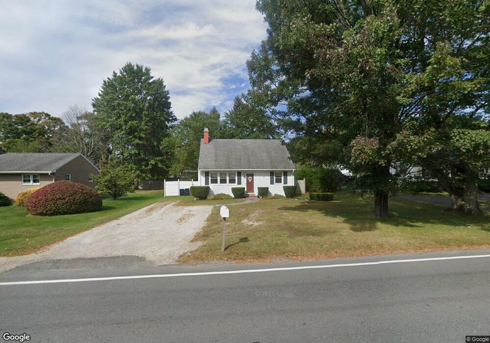
178 Dalton Division Rd Pittsfield, MA 01201
Estimated Value: $268,529 - $316,000
4
Beds
1
Bath
1,125
Sq Ft
$262/Sq Ft
Est. Value
About This Home
This home is located at 178 Dalton Division Rd, Pittsfield, MA 01201 and is currently estimated at $294,382, approximately $261 per square foot. 178 Dalton Division Rd is a home located in Berkshire County with nearby schools including Williams Elementary School, Theodore Herberg Middle School, and Pittsfield High School.
Ownership History
Date
Name
Owned For
Owner Type
Purchase Details
Closed on
May 31, 1996
Sold by
Rogers Martin M and Rogers Tracy Jo
Bought by
Monette Ronald E
Current Estimated Value
Purchase Details
Closed on
Sep 17, 1992
Sold by
Evans James W and Wesson Patricia C
Bought by
Rogers Martin M and Rogers Tracy Jo
Create a Home Valuation Report for This Property
The Home Valuation Report is an in-depth analysis detailing your home's value as well as a comparison with similar homes in the area
Home Values in the Area
Average Home Value in this Area
Purchase History
| Date | Buyer | Sale Price | Title Company |
|---|---|---|---|
| Monette Ronald E | $83,900 | -- | |
| Monette Ronald E | $83,900 | -- | |
| Rogers Martin M | $77,500 | -- | |
| Rogers Martin M | $77,500 | -- |
Source: Public Records
Mortgage History
| Date | Status | Borrower | Loan Amount |
|---|---|---|---|
| Open | Rogers Martin M | $55,000 | |
| Closed | Rogers Martin M | $65,000 | |
| Closed | Rogers Martin M | $75,000 |
Source: Public Records
Tax History
| Year | Tax Paid | Tax Assessment Tax Assessment Total Assessment is a certain percentage of the fair market value that is determined by local assessors to be the total taxable value of land and additions on the property. | Land | Improvement |
|---|---|---|---|---|
| 2025 | $4,044 | $225,400 | $60,500 | $164,900 |
| 2024 | $3,895 | $211,100 | $60,500 | $150,600 |
| 2023 | $3,697 | $201,800 | $60,500 | $141,300 |
| 2022 | $3,383 | $182,300 | $60,500 | $121,800 |
| 2021 | $3,253 | $169,000 | $60,500 | $108,500 |
| 2020 | $3,282 | $166,500 | $60,500 | $106,000 |
| 2019 | $3,268 | $168,300 | $65,100 | $103,200 |
| 2018 | $3,248 | $162,300 | $60,500 | $101,800 |
| 2017 | $2,972 | $151,400 | $52,600 | $98,800 |
| 2016 | $2,788 | $148,600 | $52,500 | $96,100 |
| 2015 | $2,684 | $148,600 | $52,500 | $96,100 |
Source: Public Records
Map
Nearby Homes
- 182 Dalton Division Rd
- 172 Dalton Division Rd
- 18 Dalton Divide
- 208 Mcintosh Dr
- 214 Mcintosh Dr
- 166 Dalton Division Rd
- 192 Dalton Division Rd
- 24 Dalton Division Rd
- 30 Dalton Division Rd
- 18 Dalton Division Rd
- 196 Mcintosh Dr
- 160 Dalton Division Rd
- 12 Dalton Division Rd
- 196 Dalton Division Rd
- 2006 East St
- 2002 East St
- 55 Dalton Division Rd
- 154 Dalton Division Rd
- 190 Mcintosh Dr
- 71 Greenings Ave
Your Personal Tour Guide
Ask me questions while you tour the home.