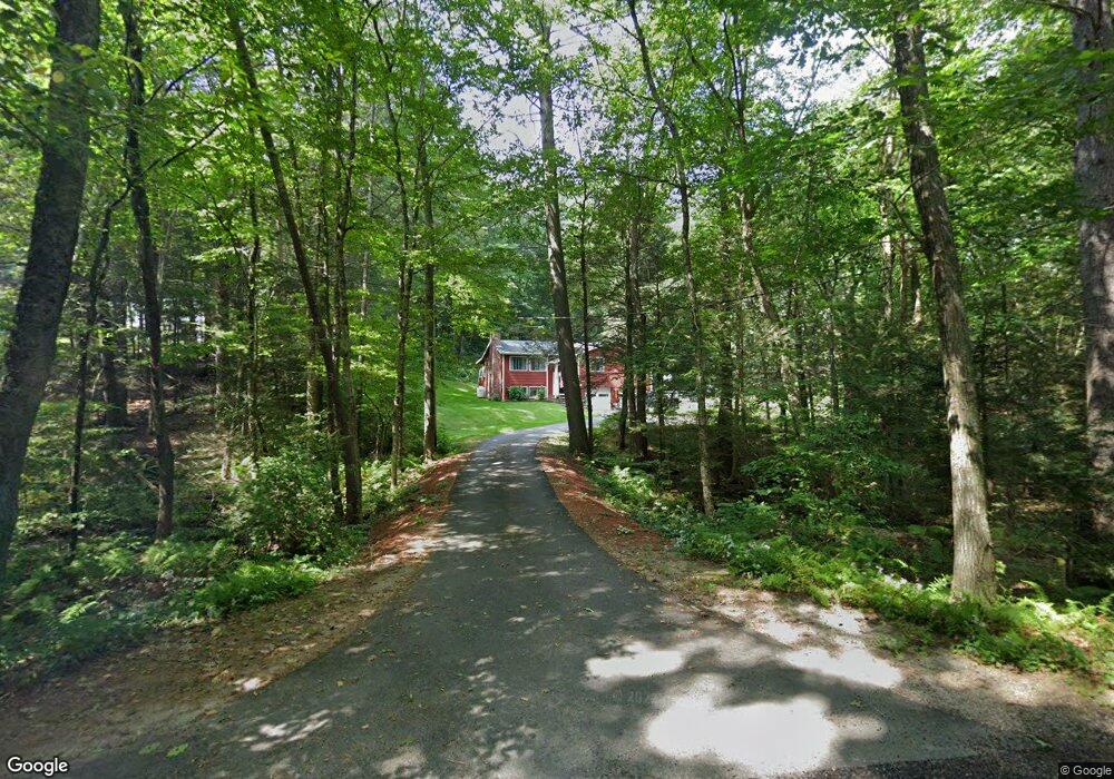
178 Flint Rd Charlton, MA 01507
Estimated Value: $342,000 - $444,000
3
Beds
3
Baths
1,200
Sq Ft
$331/Sq Ft
Est. Value
About This Home
This home is located at 178 Flint Rd, Charlton, MA 01507 and is currently estimated at $397,495, approximately $331 per square foot. 178 Flint Rd is a home located in Worcester County with nearby schools including Shepherd Hill Regional High School and ViewPoint Christian Academy.
Ownership History
Date
Name
Owned For
Owner Type
Purchase Details
Closed on
Jun 16, 2025
Sold by
Archambault Marc and Archambault Debora
Bought by
Archambault Ft and Archambault
Current Estimated Value
Purchase Details
Closed on
Mar 29, 1985
Bought by
Archambault Marc and Archambault Debora
Create a Home Valuation Report for This Property
The Home Valuation Report is an in-depth analysis detailing your home's value as well as a comparison with similar homes in the area
Home Values in the Area
Average Home Value in this Area
Purchase History
| Date | Buyer | Sale Price | Title Company |
|---|---|---|---|
| Archambault Ft | -- | -- | |
| Archambault Ft | -- | -- | |
| Archambault Marc | $2,300 | -- |
Source: Public Records
Mortgage History
| Date | Status | Borrower | Loan Amount |
|---|---|---|---|
| Previous Owner | Archambault Marc | $60,000 |
Source: Public Records
Tax History
| Year | Tax Paid | Tax Assessment Tax Assessment Total Assessment is a certain percentage of the fair market value that is determined by local assessors to be the total taxable value of land and additions on the property. | Land | Improvement |
|---|---|---|---|---|
| 2025 | $3,860 | $346,800 | $81,400 | $265,400 |
| 2024 | $3,739 | $329,700 | $78,400 | $251,300 |
| 2023 | $3,633 | $298,500 | $75,300 | $223,200 |
| 2022 | $3,487 | $262,400 | $74,000 | $188,400 |
| 2021 | $7,334 | $230,300 | $72,200 | $158,100 |
| 2020 | $3,351 | $224,300 | $66,200 | $158,100 |
| 2019 | $7,201 | $224,300 | $66,200 | $158,100 |
| 2018 | $3,028 | $224,300 | $66,200 | $158,100 |
| 2017 | $6,631 | $198,500 | $60,200 | $138,300 |
| 2016 | $2,735 | $198,500 | $60,200 | $138,300 |
| 2015 | $2,664 | $198,500 | $60,200 | $138,300 |
| 2014 | $2,692 | $212,600 | $64,600 | $148,000 |
Source: Public Records
Map
Nearby Homes
- 0 Blood Rd
- 91 Burlingame Rd
- 0 Oak Ridge Dr
- Lot 7 Harrington Rd
- 60 Saundersdale Rd
- 0 Freeman Rd Unit 73369281
- 876 Worcester St
- 9 L Stevens Rd Unit A
- Lot A Sampson Rd
- 6 Gillespie Rd
- 2 Sawmill Cir
- Lot 2 Daniels Rd
- Lot 3 Daniels Rd
- 27 Jerome St
- Lot 4 Daniels Rd
- 74 Hill Rd Unit A
- 50 Fairlawn Ave
- 17 Moon St
- L2 Partridge Hill Rd
- L3 Partridge Hill Rd
- 182 Flint Rd
- 186 Flint Rd
- 177 Flint Rd
- 109 Flint Rd
- 192 Flint Rd
- 213 Burlingame Rd
- 217 Burlingame Rd
- 221 Burlingame Rd
- 209 Burlingame Rd
- 101 Prindle Hill Rd
- 202 Flint Rd
- 197 Burlingame Rd
- 201 Burlingame Rd
- 222 Burlingame Rd
- 212 Burlingame Rd
- 216 Burlingame Rd
- 195 Burlingame Rd
- 228 Burlingame Rd
- 191 Burlingame Rd
- 230 Burlingame Rd
Your Personal Tour Guide
Ask me questions while you tour the home.