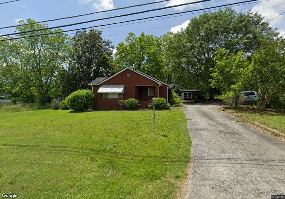
1780 Fernside Dr Toccoa, GA 30577
Estimated Value: $42,294 - $243,000
3
Beds
1
Bath
1,407
Sq Ft
$126/Sq Ft
Est. Value
About This Home
This home is located at 1780 Fernside Dr, Toccoa, GA 30577 and is currently estimated at $176,824, approximately $125 per square foot. 1780 Fernside Dr is a home located in Stephens County with nearby schools including Stephens County High School.
Ownership History
Date
Name
Owned For
Owner Type
Purchase Details
Closed on
May 23, 2016
Sold by
Carter Charles Q
Bought by
Cqc 202 Llc
Current Estimated Value
Purchase Details
Closed on
Sep 17, 2015
Sold by
Carter Marie Maxwell
Bought by
Jordan Geraldine C and Carter Charles Q
Purchase Details
Closed on
Nov 27, 2002
Bought by
Carter Marie Maxwell
Create a Home Valuation Report for This Property
The Home Valuation Report is an in-depth analysis detailing your home's value as well as a comparison with similar homes in the area
Purchase History
We collect this data history from publicly available records. To have your information removed, we recommend requesting removal directly through your county’s website.
| Date | Buyer | Sale Price | Title Company |
|---|---|---|---|
| Cqc 202 Llc | -- | -- | |
| Cqc 202 Llc | $20,000 | -- | |
| Jordan Geraldine C | -- | -- | |
| Jordan Geraldine C | -- | -- | |
| Carter Marie Maxwell | -- | -- |
Source: Public Records
Tax History
| Year | Tax Paid | Tax Assessment Tax Assessment Total Assessment is a certain percentage of the fair market value that is determined by local assessors to be the total taxable value of land and additions on the property. | Land | Improvement |
|---|---|---|---|---|
| 2025 | $1,654 | $47,410 | $7,532 | $39,878 |
| 2024 | $1,195 | $33,526 | $7,532 | $25,994 |
| 2023 | $961 | $31,570 | $7,532 | $24,038 |
| 2022 | $765 | $25,690 | $7,532 | $18,158 |
| 2021 | $754 | $24,120 | $7,532 | $16,588 |
| 2020 | $774 | $24,522 | $7,532 | $16,990 |
| 2019 | $778 | $24,522 | $7,532 | $16,990 |
| 2018 | $818 | $25,796 | $7,532 | $18,264 |
| 2017 | $831 | $25,796 | $7,532 | $18,264 |
| 2016 | $818 | $25,796 | $7,532 | $18,263 |
| 2015 | -- | $33,976 | $7,532 | $26,443 |
| 2014 | -- | $34,252 | $7,532 | $26,720 |
| 2013 | -- | $34,252 | $7,532 | $26,720 |
Source: Public Records
Map
Nearby Homes
- 59 Lucille Ln
- 31 Addington Ct
- .59 ACRE Addington Ct
- 134 Boulder Dr
- 118 Boulder Dr
- 104 Boulder Dr
- 119 Boulder Dr
- 155 Boulder Dr
- 137 Boulder Dr
- 99 Boulder Dr
- 49 Parkway Dr
- 261 Oak Valley Rd
- 0 Brookhaven Cir Unit 10616964
- 369 Skyline Dr
- 189 Foxdale Dr
- 606 Rose Ln
- 110 Valley Rd
- 304 Beaver Brook Dr
- 158 Pebble Creek Dr
- 156 White Pine Rd
- 269 Terrell Dr
- 1736 Fernside Dr
- 245 Terrell Dr
- 184 Bellvue Dr
- 1706 Fernside Dr
- 154 Bellvue Dr
- 260 Terrell Dr
- 215 Terrell Dr
- 136 Bellvue Dr
- 1631 Big a Rd
- 254 Bellvue Dr
- 214 Terrell Dr
- 118 Bellvue Dr
- 197 Bellvue Dr
- 175 Bellvue Dr Unit 94,95
- 175 Bellvue Dr
- 1590 Hwy 17 N
- S Big a Rd
- S Big a Rd Unit TR 1
- 1608 Big a Rd
Your Personal Tour Guide
Ask me questions while you tour the home.