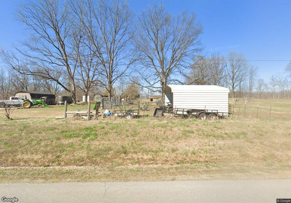
17813 State Highway Aa Bloomfield, MO 63825
Estimated Value: $165,000
About This Home
This home is located at 17813 State Highway Aa, Bloomfield, MO 63825 and is currently priced at $165,000, approximately $147 per square foot. 17813 State Highway Aa is a home located in Stoddard County with nearby schools including Bloomfield Elementary School, Bloomfield Middle School, and Bloomfield High School.
Ownership History
We collect this data history from publicly available records. To have your information removed, we recommend requesting removal directly through your county’s website.
Purchase Details
Purchase History
We collect this data history from publicly available records. To have your information removed, we recommend requesting removal directly through your county’s website.
| Date | Buyer | Sale Price | Title Company |
|---|---|---|---|
| $77,562 | -- |
Tax History
We collect this data history from publicly available records. To have your information removed, we recommend requesting removal directly through your county’s website.
| Year | Tax Paid | Tax Assessment Tax Assessment Total Assessment is a certain percentage of the fair market value that is determined by local assessors to be the total taxable value of land and additions on the property. | Land | Improvement |
|---|---|---|---|---|
| 2025 | $2,158 | $45,285 | $0 | $0 |
| 2024 | $21 | $44,348 | $0 | $0 |
| 2023 | $2,120 | $44,348 | $0 | $0 |
| 2022 | $2,154 | $45,053 | $0 | $0 |
| 2021 | $2,154 | $45,053 | $0 | $0 |
| 2020 | $413 | $8,618 | $0 | $0 |
| 2019 | $413 | $8,768 | $0 | $0 |
| 2018 | $406 | $8,618 | $0 | $0 |
| 2016 | $370 | $7,861 | $0 | $0 |
| 2015 | -- | $7,861 | $0 | $0 |
| 2014 | -- | $7,804 | $0 | $0 |
| 2013 | -- | $1,008 | $0 | $0 |
Map
- 707 S Prairie St
- 100 E Bloomfield Ave
- 405 W Bloomfield Ave
- 605 Court St
- 603 Court St
- 16763 County Road 511
- 606 Guiling St
- 203 Depot Rd
- 16501 County Road 420
- 14089 County Road 405
- 16923 County Road 470
- 0 E Hwy Unit MIS26003606
- 17173 E Cedar Hills Dr
- 16911 Christian Dr
- 1205 N Hickory St
- 0 E Kenton Rd Unit MAR25009938
- 130 Hunt St
- 16482 Shady Mount Dr
- 16343 Shady Mount Dr
- Lot 4 Breezeway Dr
- 17755 State Highway Aa
- 17747 State Highway Aa
- 17738 State Highway Aa
- 17653 State Highway Aa
- 17653 State Highway Aa
- 17553 State Highway Aa
- 17991 Missouri 25
- 907 S Prairie St
- 17501 State Highway Aa
- 17525 State Highway Aa
- 905 S Prairie St
- 901 S Prairie St
- 200 Crowley Ridge
- 17820 County Road 409
- 806 S Prairie St
- 804 Park Ln
- 409 County Road 409 Rd
- 304 Mcclain Ln
- 802 S Prairie St
- 306 Mcclain Ln
Ask me questions while you tour the home.