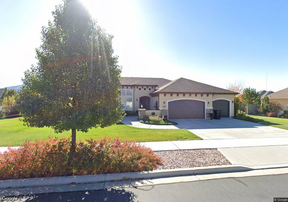
1782 E 320 N Unit 321G Spanish Fork, UT 84660
Estimated Value: $780,000 - $1,014,000
About This Home
This home is located at 1782 E 320 N Unit 321G, Spanish Fork, UT 84660 and is currently estimated at $886,305, approximately $304 per square foot. 1782 E 320 N Unit 321G is a home located in Utah County with nearby schools including Sierra Bonita Elementary School, Mapleton Junior High School, and Maple Mountain High School.
Ownership History
We collect this data history from publicly available records. To have your information removed, we recommend requesting removal directly through your county’s website.
Purchase Details
Purchase Details
Home Values in the Area
Average Home Value in this Area
Purchase History
We collect this data history from publicly available records. To have your information removed, we recommend requesting removal directly through your county’s website.
| Date | Buyer | Sale Price | Title Company |
|---|---|---|---|
| -- | None Available | ||
| -- | Affiliated First Title Co |
Mortgage History
We collect this data history from publicly available records. To have your information removed, we recommend requesting removal directly through your county’s website.
| Date | Status | Borrower | Loan Amount |
|---|---|---|---|
| Previous Owner | $336,000 |
Tax History
We collect this data history from publicly available records. To have your information removed, we recommend requesting removal directly through your county’s website.
| Year | Tax Paid | Tax Assessment Tax Assessment Total Assessment is a certain percentage of the fair market value that is determined by local assessors to be the total taxable value of land and additions on the property. | Land | Improvement |
|---|---|---|---|---|
| 2025 | $3,512 | $409,585 | ||
| 2024 | $3,512 | $362,010 | $0 | $0 |
| 2023 | $3,541 | $365,365 | $0 | $0 |
| 2022 | $3,418 | $345,895 | $0 | $0 |
| 2021 | $2,916 | $472,100 | $157,000 | $315,100 |
| 2020 | $2,710 | $426,600 | $142,700 | $283,900 |
| 2019 | $2,504 | $414,700 | $133,800 | $280,900 |
| 2018 | $2,519 | $403,200 | $122,300 | $280,900 |
| 2017 | $2,552 | $219,560 | $0 | $0 |
| 2016 | $2,407 | $204,380 | $0 | $0 |
| 2015 | $1,216 | $102,000 | $0 | $0 |
Map
- 391 N 1750 E
- 388 N 1690 E
- 309 N 1980 E
- 1543 E 260 N
- 2288 E 390 N Unit MM 34
- 2278 E 390 N Unit 35M
- 1484 E 390 N
- 1495 E 400 N
- 2302 E 320 N Unit 41
- 2282 E 320 N Unit 42
- 2264 E 320 N Unit 43
- 2281 E 320 N Unit 39
- 2303 E 320 N Unit 40
- 2265 E 320 N Unit MM 38
- 2672 E 360 N Unit MRVL09
- 2622 E 360 N Unit MRVL07
- 991 E 360 N Unit 8
- 2884 E 360 N Unit 211
- 2827 E 360 N Unit 208
- 1821 E 230 S
- 1785 E 260 N
- 1756 E 320 N Unit MORRIS
- 1753 E 260 N Unit 319F
- 342 N 1750 E Unit 308G
- 306 N 1800 E
- 1795 E 320 N Unit 309G
- 316 N 1800 E
- 282 N 1800 E Unit DREXEL
- 1726 E 320 N Unit CAPRIC
- 1799 E 320 N Unit CUSTOM
- 1737 E 260 N
- 1786 E 260 N
- 1786 E 260 N Unit WESTWO
- 1786 E 260 N Unit BORDE
- 374 N 1750 E Unit 307
- 1727 E 320 N Unit CAPRIC
- 313 N 1880 E
- 303 N 1880 E
- 331 N 1880 E
- 1754 E 260 N Unit 316F
Ask me questions while you tour the home.