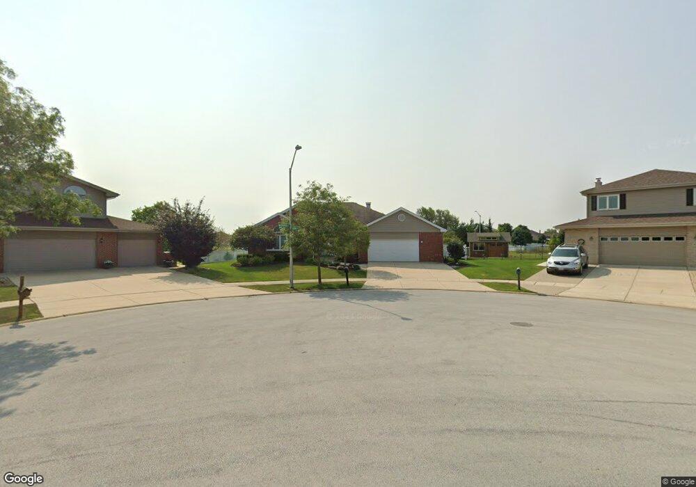
17837 Westbridge Rd Tinley Park, IL 60487
Central Tinley Park NeighborhoodEstimated Value: $498,000 - $559,000
4
Beds
3
Baths
2,478
Sq Ft
$212/Sq Ft
Est. Value
About This Home
This home is located at 17837 Westbridge Rd, Tinley Park, IL 60487 and is currently estimated at $526,462, approximately $212 per square foot. 17837 Westbridge Rd is a home located in Cook County with nearby schools including Millennium Elementary School, Prairie View Middle School, and Victor J Andrew High School.
Ownership History
Date
Name
Owned For
Owner Type
Purchase Details
Closed on
Mar 4, 2026
Sold by
Karopulos Nicholas and Karopulos Karrie M
Bought by
Nicholas Paul And Karrie Marie Karopulos Trus and Karopulos
Current Estimated Value
Purchase Details
Closed on
Aug 7, 2003
Sold by
Standard Bank & Trust Co
Bought by
Karopulos Nicholas P and Karopulos Karrie M
Home Financials for this Owner
Home Financials are based on the most recent Mortgage that was taken out on this home.
Original Mortgage
$200,000
Interest Rate
6.23%
Mortgage Type
Unknown
Create a Home Valuation Report for This Property
The Home Valuation Report is an in-depth analysis detailing your home's value as well as a comparison with similar homes in the area
Home Values in the Area
Average Home Value in this Area
Purchase History
| Date | Buyer | Sale Price | Title Company |
|---|---|---|---|
| Nicholas Paul And Karrie Marie Karopulos Trus | -- | None Listed On Document | |
| Karopulos Nicholas P | $335,000 | Cti |
Source: Public Records
Mortgage History
| Date | Status | Borrower | Loan Amount |
|---|---|---|---|
| Previous Owner | Karopulos Nicholas P | $200,000 |
Source: Public Records
Tax History
| Year | Tax Paid | Tax Assessment Tax Assessment Total Assessment is a certain percentage of the fair market value that is determined by local assessors to be the total taxable value of land and additions on the property. | Land | Improvement |
|---|---|---|---|---|
| 2025 | $10,741 | $42,000 | $6,200 | $35,800 |
| 2024 | $10,741 | $42,000 | $6,200 | $35,800 |
| 2023 | $9,406 | $42,000 | $6,200 | $35,800 |
| 2022 | $9,406 | $29,806 | $5,392 | $24,414 |
| 2021 | $9,134 | $29,804 | $5,391 | $24,413 |
| 2020 | $8,974 | $29,804 | $5,391 | $24,413 |
| 2019 | $11,037 | $37,461 | $4,852 | $32,609 |
| 2018 | $10,799 | $37,461 | $4,852 | $32,609 |
| 2017 | $10,530 | $37,461 | $4,852 | $32,609 |
| 2016 | $9,944 | $32,438 | $4,313 | $28,125 |
| 2015 | $9,796 | $32,438 | $4,313 | $28,125 |
| 2014 | $9,730 | $32,438 | $4,313 | $28,125 |
| 2013 | $8,928 | $32,191 | $4,313 | $27,878 |
Source: Public Records
Map
Nearby Homes
- 19209 Buncrana Cir
- 9001 178th St
- 17618 Dunn Rd
- 8434 Kirby Dr Unit 8434
- 18113 Mager Dr Unit 18113
- 18161 Mager Dr Unit 18161
- 18293 Kirby Dr Unit 2718293
- 8925 Pheasant Lake Dr
- 9219 Greenwood Dr
- 8990 175th St
- 8320 Heather Ln
- 17430 Bridalwood Ln
- 9213 Kylemore Ct
- 17565 Windsor Pkwy Unit 37
- 9201 175th St
- 9371 Windsor Pkwy Unit 160
- 8304 Queen Victoria Ln
- 18145 94th Ave
- 9200 174th St
- 9327 Pleasant Ave
- 8713 Brown Ln Unit 4
- 17831 Westbridge Rd
- 8719 Brown Ln
- 17825 Westbridge Rd Unit 4
- 9999 99 St Unit 99
- 0 W Unit MRD10803688
- 17918 Semmler Dr
- 8718 Brown Ln Unit 4
- 8725 Brown Ln Unit 4
- 17819 Westbridge Rd
- 8700 Ballard Dr
- 8724 Brown Ln
- 8631 Mason Ln
- 8719 Moss Ct
- 17930 Semmler Dr
- 17915 Semmler Ct
- 8731 Brown Ln
- 8690 Ballard Dr
- 17813 Westbridge Rd
- 8678 Ballard Dr
Your Personal Tour Guide
Ask me questions while you tour the home.