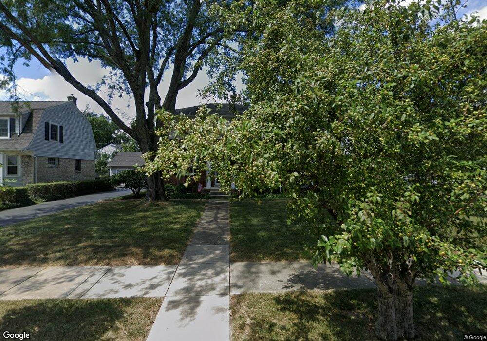
1785 Andover Rd Columbus, OH 43212
Estimated Value: $709,000 - $885,000
3
Beds
4
Baths
2,196
Sq Ft
$364/Sq Ft
Est. Value
About This Home
This home is located at 1785 Andover Rd, Columbus, OH 43212 and is currently estimated at $799,995, approximately $364 per square foot. 1785 Andover Rd is a home located in Franklin County with nearby schools including Barrington Road Elementary School, Jones Middle School, and Upper Arlington High School.
Ownership History
Date
Name
Owned For
Owner Type
Purchase Details
Closed on
Feb 5, 2024
Sold by
Murphy Family Trust
Bought by
Murphy Judith A
Current Estimated Value
Purchase Details
Closed on
Apr 5, 2013
Sold by
Murphy Judith A and Murphy Thomas E
Bought by
Murphy Judith A and Murphy Thomas E
Purchase Details
Closed on
Apr 29, 1977
Bought by
Murphy Thomas E
Create a Home Valuation Report for This Property
The Home Valuation Report is an in-depth analysis detailing your home's value as well as a comparison with similar homes in the area
Home Values in the Area
Average Home Value in this Area
Purchase History
| Date | Buyer | Sale Price | Title Company |
|---|---|---|---|
| Murphy Judith A | -- | None Listed On Document | |
| Murphy Judith A | -- | None Available | |
| Murphy Thomas E | -- | -- |
Source: Public Records
Tax History
| Year | Tax Paid | Tax Assessment Tax Assessment Total Assessment is a certain percentage of the fair market value that is determined by local assessors to be the total taxable value of land and additions on the property. | Land | Improvement |
|---|---|---|---|---|
| 2025 | $13,736 | $247,070 | $115,850 | $131,220 |
| 2024 | $13,736 | $247,070 | $115,850 | $131,220 |
| 2023 | $13,602 | $247,065 | $115,850 | $131,215 |
| 2022 | $11,757 | $177,000 | $63,180 | $113,820 |
| 2021 | $10,407 | $177,000 | $63,180 | $113,820 |
| 2020 | $10,315 | $177,000 | $63,180 | $113,820 |
| 2019 | $10,298 | $157,260 | $63,180 | $94,080 |
| 2018 | $8,863 | $157,260 | $63,180 | $94,080 |
| 2017 | $8,906 | $157,260 | $63,180 | $94,080 |
| 2016 | $7,493 | $120,580 | $49,040 | $71,540 |
| 2015 | $7,487 | $120,580 | $49,040 | $71,540 |
| 2014 | $7,396 | $120,580 | $49,040 | $71,540 |
| 2013 | $3,554 | $109,620 | $44,590 | $65,030 |
Source: Public Records
Map
Nearby Homes
- 1921 Wyandotte Rd
- 1942 Bedford Rd
- 1876 Westwood Ave
- 1561 Glenn Ave
- 1951 Glenn Ave
- 1654-1656 Ashland Ave
- 1648 Ashland Ave
- 1810 Ashland Ave
- 1523 Wyandotte Rd
- 1530 Lincoln Rd
- 1624 Ashland Ave
- 2015 W 5th Ave Unit 211
- 2015 W 5th Ave Unit 102
- 2015 W 5th Ave Unit 108
- 1585 Arlington Ave Unit 1585A
- 1579 Arlington Ave Unit 1579B
- 1631 Roxbury Rd Unit D2
- 1507 Chesapeake Ave
- 1780 Waltham Rd
- 1785 Northwest Ct Unit D
- 1781 Andover Rd
- 1793 Andover Rd
- 1773 Andover Rd
- 1803 Andover Rd
- 1800 Bedford Rd
- 1796 Bedford Rd
- 1790 Bedford Rd
- 1812 Bedford Rd
- 1782 Andover Rd
- 1765 Andover Rd
- 1776 Andover Rd
- 1792 Andover Rd
- 1784 Bedford Rd
- 1811 Tremont Rd
- 1770 Andover Rd
- 1798 Andover Rd
- 1818 Bedford Rd
- 1759 Andover Rd
- 1764 Andover Rd
- 1776 Bedford Rd
Your Personal Tour Guide
Ask me questions while you tour the home.