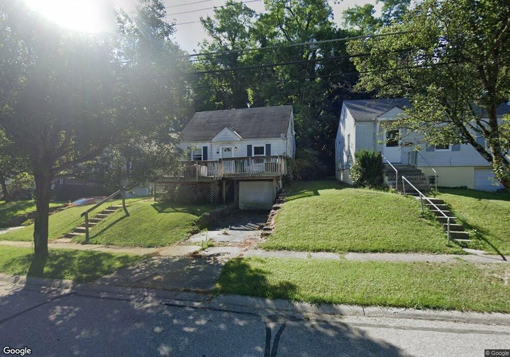
1786 Ashbrook Dr Cincinnati, OH 45238
West Price Hill NeighborhoodEstimated Value: $73,000 - $131,917
3
Beds
1
Bath
1,336
Sq Ft
$75/Sq Ft
Est. Value
About This Home
This home is located at 1786 Ashbrook Dr, Cincinnati, OH 45238 and is currently estimated at $100,729, approximately $75 per square foot. 1786 Ashbrook Dr is a home located in Hamilton County with nearby schools including Covedale School, Gilbert A. Dater High School, and Western Hills High School.
Ownership History
Date
Name
Owned For
Owner Type
Purchase Details
Closed on
Nov 6, 2025
Sold by
Harbour Carl F
Bought by
Spalding David A and Gardiner Melanie A
Current Estimated Value
Home Financials for this Owner
Home Financials are based on the most recent Mortgage that was taken out on this home.
Original Mortgage
$60,700
Outstanding Balance
$60,529
Interest Rate
6.34%
Mortgage Type
New Conventional
Estimated Equity
$40,200
Purchase Details
Closed on
Jun 29, 1994
Sold by
Leen Michael D
Bought by
Harbour Carl F
Home Financials for this Owner
Home Financials are based on the most recent Mortgage that was taken out on this home.
Original Mortgage
$59,458
Interest Rate
8.66%
Mortgage Type
FHA
Create a Home Valuation Report for This Property
The Home Valuation Report is an in-depth analysis detailing your home's value as well as a comparison with similar homes in the area
Home Values in the Area
Average Home Value in this Area
Purchase History
We collect this data history from publicly available records. To have your information removed, we recommend requesting removal directly through your county’s website.
| Date | Buyer | Sale Price | Title Company |
|---|---|---|---|
| Spalding David A | $65,000 | American Homeland Title (Ahta) | |
| Harbour Carl F | -- | -- |
Source: Public Records
Mortgage History
We collect this data history from publicly available records. To have your information removed, we recommend requesting removal directly through your county’s website.
| Date | Status | Borrower | Loan Amount |
|---|---|---|---|
| Open | Spalding David A | $60,700 | |
| Previous Owner | Harbour Carl F | $59,458 |
Source: Public Records
Tax History
| Year | Tax Paid | Tax Assessment Tax Assessment Total Assessment is a certain percentage of the fair market value that is determined by local assessors to be the total taxable value of land and additions on the property. | Land | Improvement |
|---|---|---|---|---|
| 2025 | $1,817 | $29,341 | $4,372 | $24,969 |
| 2024 | $1,868 | $29,341 | $4,372 | $24,969 |
| 2023 | $1,871 | $29,341 | $4,372 | $24,969 |
| 2022 | $1,360 | $19,132 | $4,344 | $14,788 |
| 2021 | $1,333 | $19,132 | $4,344 | $14,788 |
| 2020 | $1,298 | $19,132 | $4,344 | $14,788 |
| 2019 | $1,288 | $17,392 | $3,948 | $13,444 |
| 2018 | $1,290 | $17,392 | $3,948 | $13,444 |
| 2017 | $1,225 | $17,392 | $3,948 | $13,444 |
| 2016 | $1,436 | $20,108 | $4,221 | $15,887 |
| 2015 | $1,295 | $20,108 | $4,221 | $15,887 |
| 2014 | $1,304 | $20,108 | $4,221 | $15,887 |
| 2013 | $1,506 | $22,848 | $4,795 | $18,053 |
Source: Public Records
Map
Nearby Homes
- 1778 Ashbrook Dr
- 4730 Prosperity Place
- 1893 Ashbrook Dr
- 1772 Tuxworth Ave
- 1735 Ashbrook Dr
- 1914 Ashbrook Dr
- 1923 Ashbrook Dr
- 4760 Clevesdale Dr
- 1724 Hillfred Ln
- 4817 Prosperity Place
- 4827 Prosperity Place
- 4849 Prosperity Place
- 4808 Guerley Rd
- 4709 Guerley Rd
- 4965 Glenway Ave
- 4816 Glenway Ave
- 4925 Ralph Ave
- 4925 Shirley Place
- 1153 Omena Place
- 4952 Western Hills Ave
- 1811 Ashbrook Dr
- 1803 Ashbrook Dr
- 1821 Ashbrook Dr
- 4700 Green Glen Ln
- 1829 Ashbrook Dr
- 4704 Green Glen Ln
- 1837 Ashbrook Dr
- 1853 Ashbrook Dr
- 1847 Ashbrook Dr
- 4708 Green Glen Ln
- 1802 Ashbrook Dr
- 1806 Ashbrook Dr
- 1857 Ashbrook Dr
- 1810 Ashbrook Dr
- 1790 Ashbrook Dr
- 1814 Ashbrook Dr
- 4712 Green Glen Ln
- 1826 Ashbrook Dr
- 1777 Ashbrook Dr
- 1830 Ashbrook Dr
Your Personal Tour Guide
Ask me questions while you tour the home.