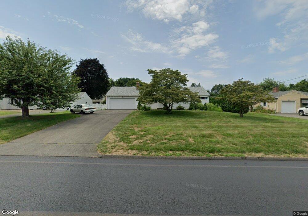
179 Charter Rd Wethersfield, CT 06109
Estimated Value: $417,000 - $491,000
About This Home
This home is located at 179 Charter Rd, Wethersfield, CT 06109 and is currently estimated at $465,459, approximately $252 per square foot. 179 Charter Rd is a home located in Hartford County with nearby schools including Highcrest School, Silas Deane Middle School, and Wethersfield High School.
Ownership History
We collect this data history from publicly available records. To have your information removed, we recommend requesting removal directly through your county’s website.
Purchase Details
Home Values in the Area
Average Home Value in this Area
Purchase History
We collect this data history from publicly available records. To have your information removed, we recommend requesting removal directly through your county’s website.
| Date | Buyer | Sale Price | Title Company |
|---|---|---|---|
| -- | -- |
Mortgage History
We collect this data history from publicly available records. To have your information removed, we recommend requesting removal directly through your county’s website.
| Date | Status | Borrower | Loan Amount |
|---|---|---|---|
| Previous Owner | $72,500 | ||
| Previous Owner | $12,000 |
Tax History
We collect this data history from publicly available records. To have your information removed, we recommend requesting removal directly through your county’s website.
| Year | Tax Paid | Tax Assessment Tax Assessment Total Assessment is a certain percentage of the fair market value that is determined by local assessors to be the total taxable value of land and additions on the property. | Land | Improvement |
|---|---|---|---|---|
| 2025 | $11,652 | $282,670 | $90,850 | $191,820 |
| 2024 | $7,439 | $172,120 | $67,870 | $104,250 |
| 2023 | $7,191 | $172,120 | $67,870 | $104,250 |
| 2022 | $7,071 | $172,120 | $67,870 | $104,250 |
| 2021 | $7,000 | $172,120 | $67,870 | $104,250 |
| 2020 | $7,004 | $172,120 | $67,870 | $104,250 |
| 2019 | $7,012 | $172,120 | $67,870 | $104,250 |
| 2018 | $7,161 | $175,600 | $63,600 | $112,000 |
| 2017 | $6,984 | $175,600 | $63,600 | $112,000 |
| 2016 | $6,768 | $175,600 | $63,600 | $112,000 |
| 2015 | $6,706 | $175,600 | $63,600 | $112,000 |
| 2014 | $6,452 | $175,600 | $63,600 | $112,000 |
Map
- 142 Valley Crest Dr
- 39 Mountain Laurel Dr
- 46 Kimball Rd
- 32 Meadowgate St
- 75 Barry Place
- 748 Maple St
- 149 Mill St
- 50 Old Main St
- 19-21 Mill St
- 22 Winesap Cir Unit 22
- 970 Cloverdale Cir
- 93 Pheasant Dr
- 1610 Silas Deane Hwy
- 257 Parsonage St
- 152 Surrey Dr
- 368 Old Main St
- 80 Grist Mill Rd
- 742 Wolcott Hill Rd
- 268 Fox Hill Rd
- 44 Beverly Rd
- 171 Charter Rd
- 185 Charter Rd
- 108 Waters View Dr
- 96 Waters View Dr
- 163 Charter Rd
- 114 Waters View Dr
- 195 Charter Rd
- 178 Charter Rd
- 172 Charter Rd
- 184 Charter Rd
- 86 Waters View Dr
- 120 Waters View Dr
- 166 Charter Rd
- 157 Charter Rd
- 80 Waters View Dr
- 160 Charter Rd
- 205 Charter Rd
- 130 Waters View Dr
- 198 Charter Rd
- 105 Waters View Dr
Ask me questions while you tour the home.