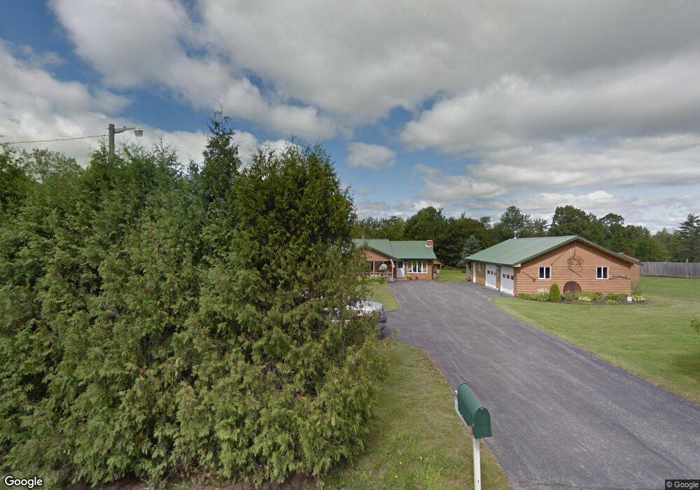
1791 Chapman Rd Chapman, ME 04757
Estimated Value: $270,000 - $313,000
3
Beds
3
Baths
1,768
Sq Ft
$167/Sq Ft
Est. Value
About This Home
This home is located at 1791 Chapman Rd, Chapman, ME 04757 and is currently estimated at $295,589, approximately $167 per square foot. 1791 Chapman Rd is a home located in Aroostook County with nearby schools including Presque Isle Middle School and Presque Isle High School.
Ownership History
Date
Name
Owned For
Owner Type
Purchase Details
Closed on
Jun 26, 2013
Sold by
Carrier Michael F
Bought by
Caron William B and Caron Tina M
Current Estimated Value
Home Financials for this Owner
Home Financials are based on the most recent Mortgage that was taken out on this home.
Original Mortgage
$100,500
Outstanding Balance
$71,795
Interest Rate
3.51%
Mortgage Type
Commercial
Estimated Equity
$223,794
Create a Home Valuation Report for This Property
The Home Valuation Report is an in-depth analysis detailing your home's value as well as a comparison with similar homes in the area
Purchase History
| Date | Buyer | Sale Price | Title Company |
|---|---|---|---|
| Caron William B | -- | -- |
Source: Public Records
Mortgage History
| Date | Status | Borrower | Loan Amount |
|---|---|---|---|
| Open | Caron William B | $100,500 |
Source: Public Records
Tax History
| Year | Tax Paid | Tax Assessment Tax Assessment Total Assessment is a certain percentage of the fair market value that is determined by local assessors to be the total taxable value of land and additions on the property. | Land | Improvement |
|---|---|---|---|---|
| 2024 | $3,324 | $255,700 | $34,000 | $221,700 |
| 2023 | $2,740 | $170,200 | $34,000 | $136,200 |
| 2022 | $2,786 | $160,600 | $24,400 | $136,200 |
| 2021 | $2,730 | $160,600 | $24,400 | $136,200 |
| 2020 | $2,666 | $160,600 | $24,400 | $136,200 |
| 2019 | $2,554 | $160,600 | $24,400 | $136,200 |
| 2018 | $2,737 | $164,900 | $24,200 | $140,700 |
| 2017 | $2,505 | $164,800 | $24,000 | $140,800 |
| 2016 | $2,357 | $164,800 | $24,000 | $140,800 |
| 2015 | $2,276 | $164,900 | $24,000 | $140,900 |
| 2014 | $2,330 | $166,400 | $24,000 | $142,400 |
| 2013 | $2,298 | $166,500 | $24,000 | $142,500 |
Source: Public Records
Map
Nearby Homes
- 95 Mountain Rd
- 197 Spragueville Rd
- 55 Niles Rd
- 8 Cronin Rd
- 0 Carvell Rd
- 217 Houlton Rd
- M8-L16 Grendell Rd
- L371 Chapman Rd
- 005-005-1 Grendell Rd
- 389 Houlton Rd
- M5L3D Teaser Rd
- M5L3B Teaser Rd
- 673 Mapleton Rd
- 53 University St
- 0 University St
- 83 Chapman Rd
- M4L2L2B W Chapman Rd
- 20 Maple St
- 4197 W Chapman Rd
- 38 Elizabeth St
- 1779 Chapman Rd
- 1805 Chapman Rd
- 1810 Chapman Rd
- 1819 Chapman Rd
- 1778 Chapman Rd
- 1786 Chapman Rd
- 1796 Chapman Rd
- 6-18 Chapman Rd
- 1768 Chapman Rd
- M6L18-1 Chapman Rd
- 1738 Chapman Rd
- 1724 Chapman Rd
- 1856 Chapman Rd
- 1715 Chapman Rd
- 1716 Chapman Rd
- 1702 Chapman Rd
- 1677 Chapman Rd
- 1692 Chapman Rd
- . Chapman Rd
- 27 Mclean Rd
Your Personal Tour Guide
Ask me questions while you tour the home.