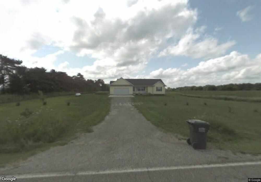
1791 W Pratt Rd Dewitt, MI 48820
Estimated Value: $326,505 - $424,000
4
Beds
3
Baths
2,035
Sq Ft
$181/Sq Ft
Est. Value
About This Home
This home is located at 1791 W Pratt Rd, Dewitt, MI 48820 and is currently estimated at $367,626, approximately $180 per square foot. 1791 W Pratt Rd is a home located in Clinton County with nearby schools including St. Johns High School.
Ownership History
Date
Name
Owned For
Owner Type
Purchase Details
Closed on
May 2, 2022
Sold by
Bennett Edna M
Bought by
Bennett Edna M and Smith Lorraine A
Current Estimated Value
Purchase Details
Closed on
Feb 4, 2010
Sold by
Bennett Edna M and Doss Kellie G
Bought by
Bennett Edna M
Purchase Details
Closed on
Nov 4, 2004
Sold by
Bennett Edna M
Bought by
Bennett Edna M and Doss Kellie G
Home Financials for this Owner
Home Financials are based on the most recent Mortgage that was taken out on this home.
Original Mortgage
$168,834
Interest Rate
5.8%
Mortgage Type
FHA
Create a Home Valuation Report for This Property
The Home Valuation Report is an in-depth analysis detailing your home's value as well as a comparison with similar homes in the area
Purchase History
| Date | Buyer | Sale Price | Title Company |
|---|---|---|---|
| Bennett Edna M | $2,022 | None Listed On Document | |
| Bennett Edna M | -- | None Available | |
| Bennett Edna M | -- | -- |
Source: Public Records
Mortgage History
| Date | Status | Borrower | Loan Amount |
|---|---|---|---|
| Previous Owner | Bennett Edna M | $168,834 |
Source: Public Records
Tax History
| Year | Tax Paid | Tax Assessment Tax Assessment Total Assessment is a certain percentage of the fair market value that is determined by local assessors to be the total taxable value of land and additions on the property. | Land | Improvement |
|---|---|---|---|---|
| 2025 | $2,999 | $149,300 | $21,500 | $127,800 |
| 2024 | $14 | $143,200 | $20,400 | $122,800 |
| 2023 | $1,281 | $125,500 | $0 | $0 |
| 2022 | $2,344 | $103,300 | $18,300 | $85,000 |
| 2021 | $2,276 | $96,300 | $15,500 | $80,800 |
| 2020 | $2,212 | $91,000 | $15,500 | $75,500 |
| 2019 | $2,178 | $87,700 | $15,500 | $72,200 |
| 2018 | $2,112 | $85,200 | $14,900 | $70,300 |
| 2017 | $2,092 | $83,500 | $14,900 | $68,600 |
| 2016 | $2,074 | $84,400 | $14,500 | $69,900 |
| 2015 | -- | $79,900 | $0 | $0 |
| 2011 | -- | $82,000 | $0 | $0 |
Source: Public Records
Map
Nearby Homes
- 2615 Alward Rd
- 5600 S Dewitt Rd
- 5111 County Farm Rd
- V/L E Chadwick Rd
- 1840 E Round Lake Rd
- 11549 S Us Highway 27
- 2475 Yallup Rd
- V/L E Round Lake Rd
- 2540 E Round Lake Rd
- 513 N Scott St
- 14013 Ambrosia Ave
- 3535 Stanwood Dr
- 00 S US 27
- 0 S US 27 Unit 293631
- 2327 W Taft Rd
- 3343 Silverspring Dr
- 11740 Kalamata Dr
- 0 E Chadwick Rd
- 9383 E Round Lake Rd
- 603 Cherry St
- 1780 W Pratt Rd
- 1725 W Pratt Rd
- 1600 W Pratt Rd
- 1881 W Pratt Rd
- 1741 E Pratt Rd
- 1663 E Pratt Rd
- 1621 E Pratt Rd
- 1901 W Pratt Rd
- 1910 W Pratt Rd
- 8025 S Loomis Rd
- 1654 W Pratt Rd
- 1960 W Pratt Rd
- 8275 S Loomis Rd
- 0 Loomis Rd Unit 81880
- 0 Loomis Rd Unit 212550
- 0 Loomis Rd Unit 248677
- 0 Loomis Rd Unit 244811
- 0 Loomis Rd Unit 244261
- 0 Loomis Rd Unit 26431
- 0 Loomis Rd Unit 54848
Your Personal Tour Guide
Ask me questions while you tour the home.