1798 S 2050 E Gooding, ID 83330
Estimated Value: $357,000 - $489,000
3
Beds
4
Baths
1,709
Sq Ft
$254/Sq Ft
Est. Value
About This Home
This home is located at 1798 S 2050 E, Gooding, ID 83330 and is currently estimated at $434,572, approximately $254 per square foot. 1798 S 2050 E is a home with nearby schools including Gooding Elementary School, Gooding Middle School, and Gooding High School.
Ownership History
Date
Name
Owned For
Owner Type
Purchase Details
Closed on
Sep 28, 2020
Sold by
Devenport Lewis M and Devenport Nita F
Bought by
Ln Devenport Properties Llc
Current Estimated Value
Purchase Details
Closed on
Jan 23, 2008
Sold by
Ward Paul V and Ward Sherry A
Bought by
Devenport Lewis M and Devenport Nita F
Home Financials for this Owner
Home Financials are based on the most recent Mortgage that was taken out on this home.
Original Mortgage
$135,000
Interest Rate
5.75%
Mortgage Type
New Conventional
Purchase Details
Closed on
Feb 15, 2007
Sold by
Pierce Jerry D and Pierce Joyce A
Bought by
Ward Paul and Ward Sherry A
Home Financials for this Owner
Home Financials are based on the most recent Mortgage that was taken out on this home.
Original Mortgage
$174,900
Interest Rate
6.19%
Mortgage Type
New Conventional
Create a Home Valuation Report for This Property
The Home Valuation Report is an in-depth analysis detailing your home's value as well as a comparison with similar homes in the area
Purchase History
| Date | Buyer | Sale Price | Title Company |
|---|---|---|---|
| Ln Devenport Properties Llc | -- | None Available | |
| Devenport Lewis M | -- | None Available | |
| Devenport Lewis M | -- | -- | |
| Ward Paul | -- | -- |
Source: Public Records
Mortgage History
| Date | Status | Borrower | Loan Amount |
|---|---|---|---|
| Previous Owner | Devenport Lewis M | $135,000 | |
| Previous Owner | Ward Paul | $174,900 |
Source: Public Records
Tax History
| Year | Tax Paid | Tax Assessment Tax Assessment Total Assessment is a certain percentage of the fair market value that is determined by local assessors to be the total taxable value of land and additions on the property. | Land | Improvement |
|---|---|---|---|---|
| 2025 | $1,932 | $488,217 | $87,928 | $400,289 |
| 2024 | $1,762 | $442,137 | $87,928 | $354,209 |
| 2023 | $1,733 | $442,137 | $87,928 | $354,209 |
| 2022 | $2,168 | $442,137 | $87,928 | $354,209 |
| 2021 | $2,135 | $392,526 | $55,184 | $337,342 |
| 2020 | $1,477 | $262,122 | $32,155 | $229,967 |
| 2019 | $1,292 | $219,150 | $32,155 | $186,995 |
| 2018 | $1,189 | $211,749 | $32,155 | $179,594 |
| 2017 | $1,011 | $0 | $0 | $0 |
| 2016 | $1,069 | $0 | $0 | $0 |
| 2015 | $1,130 | $0 | $0 | $0 |
| 2014 | -- | $0 | $0 | $0 |
| 2011 | -- | $0 | $0 | $0 |
Source: Public Records
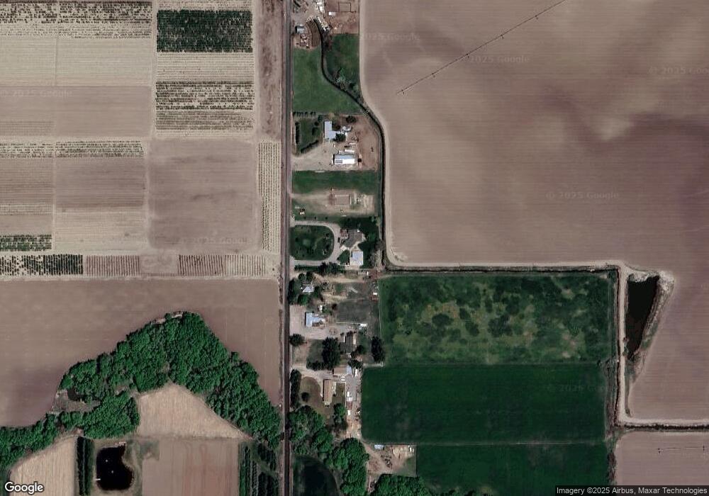
Map
Nearby Homes
- 919 9th Ave E
- 2155 E 1775 S
- TBD Ln
- 602 4th Ave E
- 506 5th Ave E
- 909 Oregon St
- 726 Wyoming St
- 217 & 219 Oregon St
- 518 Montana St
- 326 Montana St
- 1226 Washington St
- 442 Main St
- 380 Orchard Dr E
- TBD E 1700 Rd S
- 551 10th Ave W
- 1141 Main St
- 530 California St
- 506 California St
- 729 California St
- 1201 California St
- 1804 S 2050 E
- 1822 S 2050 E
- 1802 S 2050 E
- 1823 S 2050 E
- 1776 S 2050 E
- 1500 Mountain View Dr
- 1530 Mountain View Dr
- 1510 Mountain View Dr
- 1824 S 2000 E Unit B
- 2052 E 1850 S
- 1732 9th Ave E
- 1820 S 2000 E
- 1999 E 1775 S
- 2051 E 1850 S
- 2024 E 1850 S
- 1617 9th Ave E
- 1828 S 2000 E
- 1997 E 1775 S
- 916 Victory Dr
- 923 Victory Dr
Your Personal Tour Guide
Ask me questions while you tour the home.