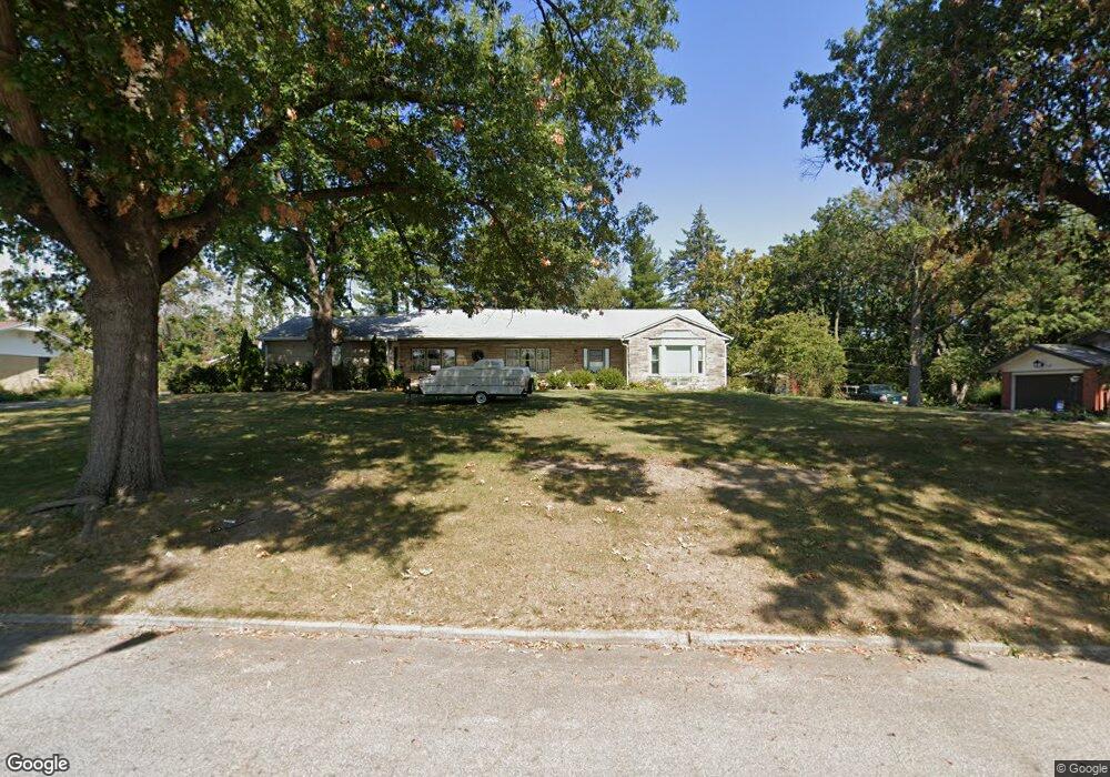
18 Allen Bend Dr Decatur, IL 62521
Bayshore NeighborhoodEstimated Value: $151,000 - $203,000
3
Beds
3
Baths
2,778
Sq Ft
$65/Sq Ft
Est. Value
About This Home
This home is located at 18 Allen Bend Dr, Decatur, IL 62521 and is currently estimated at $179,878, approximately $64 per square foot. 18 Allen Bend Dr is a home located in Macon County with nearby schools including South Shores Elementary School, Stephen Decatur Middle School, and Holy Family Catholic School.
Ownership History
Date
Name
Owned For
Owner Type
Purchase Details
Closed on
May 13, 2011
Sold by
Taylor Gordon E and Taylor Gertude E
Bought by
Baker Robet P and Baker Lorna Laye
Current Estimated Value
Home Financials for this Owner
Home Financials are based on the most recent Mortgage that was taken out on this home.
Original Mortgage
$92,000
Outstanding Balance
$64,171
Interest Rate
4.96%
Mortgage Type
New Conventional
Estimated Equity
$115,707
Create a Home Valuation Report for This Property
The Home Valuation Report is an in-depth analysis detailing your home's value as well as a comparison with similar homes in the area
Home Values in the Area
Average Home Value in this Area
Purchase History
| Date | Buyer | Sale Price | Title Company |
|---|---|---|---|
| Baker Robet P | $115,000 | None Available |
Source: Public Records
Mortgage History
| Date | Status | Borrower | Loan Amount |
|---|---|---|---|
| Open | Baker Robet P | $92,000 |
Source: Public Records
Tax History
| Year | Tax Paid | Tax Assessment Tax Assessment Total Assessment is a certain percentage of the fair market value that is determined by local assessors to be the total taxable value of land and additions on the property. | Land | Improvement |
|---|---|---|---|---|
| 2024 | $3,534 | $47,511 | $13,449 | $34,062 |
| 2023 | $3,466 | $45,829 | $12,973 | $32,856 |
| 2022 | $3,166 | $41,959 | $12,005 | $29,954 |
| 2021 | $2,900 | $39,185 | $11,211 | $27,974 |
| 2020 | $2,804 | $37,365 | $10,690 | $26,675 |
| 2019 | $2,804 | $37,365 | $10,690 | $26,675 |
| 2018 | $2,484 | $34,640 | $21,667 | $12,973 |
| 2017 | $2,573 | $35,564 | $22,245 | $13,319 |
| 2016 | $2,634 | $35,927 | $22,472 | $13,455 |
| 2015 | $2,483 | $35,292 | $22,075 | $13,217 |
| 2014 | $2,295 | $34,942 | $21,856 | $13,086 |
| 2013 | $2,411 | $36,254 | $22,677 | $13,577 |
Source: Public Records
Map
Nearby Homes
- 36 Allen Bend Dr
- 20 Glenview Dr
- 9 Glenview Dr
- 5 E Pepperidge Ct
- 66 Sandcreek Dr
- 2151 S Imboden Place
- 62 Woodhill Ct
- 337 Hackberry Place
- 184 Dover Dr
- 2065 Friel Ct
- 2 4th Dr
- 32 Ridge Lane Dr
- 275 Wayside Ave
- 31 7th Dr
- 332 W Imboden Dr
- 80 Phillips Dr
- 56 Sundale Dr
- 56 Southwood Dr
- 11 Meadow Terrace Dr
- 0 S Shores Dr
- 24 Allen Bend Dr
- 16 Allen Bend Dr
- 2 Allen Bend Place
- 21 Allen Bend Dr
- 23 Allen Bend Dr
- 19 Allen Bend Dr
- 17 Allen Bend Dr
- 30 Allen Bend Dr
- 25 Allen Bend Dr
- 4 Allen Bend Place
- 79 Allen Bend Dr
- 29 Allen Bend Dr
- 93 Allen Bend Dr
- 15 Allen Bend Dr
- 5 Allen Bend Place
- 71 Allen Bend Dr
- 33 Allen Bend Dr
- 11 Allen Bend Dr
- 42 Allen Bend Dr
- 6 Allen Bend Place
Your Personal Tour Guide
Ask me questions while you tour the home.